
De beste Hikingpaden in Yellowstone National Park
Ontdek HikingpadenTop 13 hikingpaden in Yellowstone National Park
1


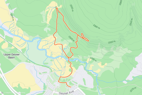
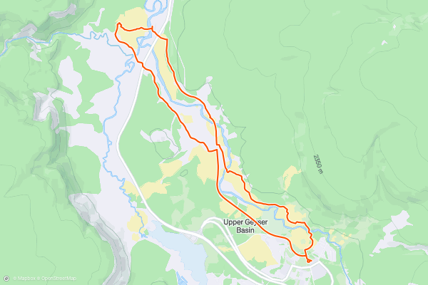
Observation Point to Geyser Hill
The trail takes you to a lookout over Upper Geyser Basin, which has incredible views of Old Faithful and many other impressive geysers.
**Directions**
Starting at the Visitor Center in Old Faithful Village, follow the signs for the Geyser Hill Trail, which begins as a walkway, passing Old Faithful Lodge on the right....
2

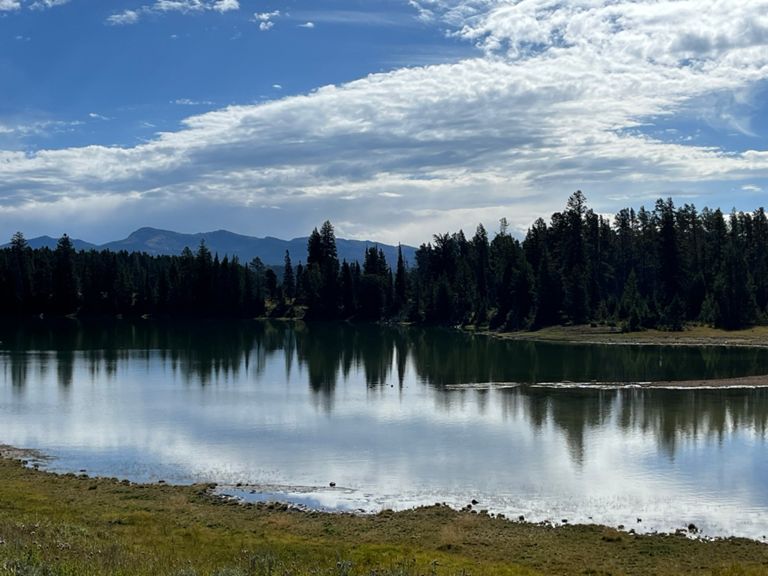


Storm Point
Storm Point is an easy, family-friendly loop, with many natural wonders and points of historical interest along the way.
The trail passes by the historic Indian Pond, where Native American artifacts were found in 1880, including corals and wickiups....
3


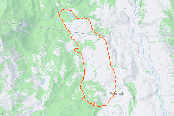
Beaver Ponds Loop
Choose this hike for scenic views and high chances of spotting various wildlife. You could come across: elk, waterfowl, bison, mule deer, moose, grizzly and black bears, and of course, beavers....
4


Upper Geyser Basin Trail
Starting at the Visitor Information Centre follow the signs to Old Faithful along the wooden boardwalks. You will soon enter the Upper Geyser Basin and Biscuit Basin which host the largest collection of geysers in the world, including the original geyser Old Faithful, made famous by its frequent, huge eruptions....
5
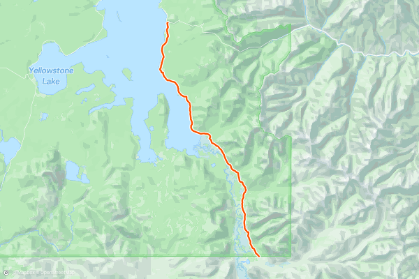
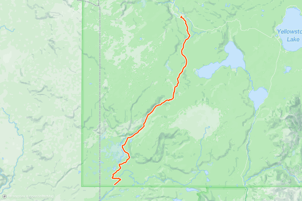
The Thorofare
The Thorofare is perhaps the most remote place in the contiguous United States--farther from a road than anywhere else, at 25 miles or more. That means that a backpacking here puts you among the country’s most vast wilderness outside of Alaska, but only by putting in your dues....
6


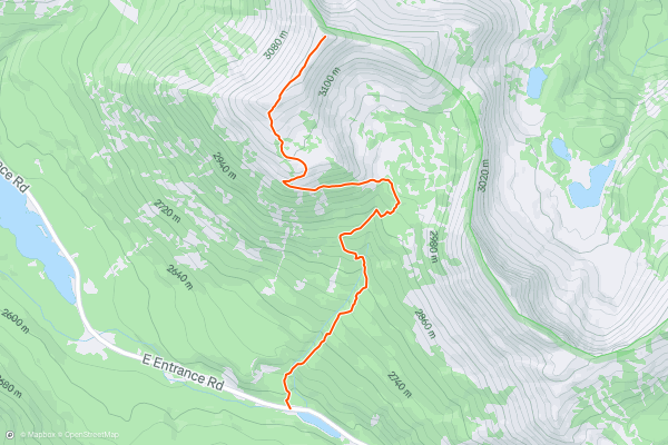
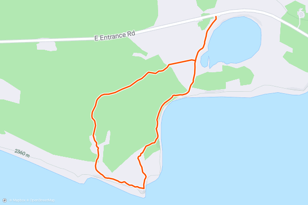
Avalanche Peak
This 6.1-mile hike will take you through meadows, ancient forests, and burnt areas until quickly ascending the enormous 10,566-foot summit of Avalanche Peak.
Spot the Avalanche Peak trailhead sign near Eleanor Lake, between Fishing Bridge and the East Entrance on East Entrance Road....
7


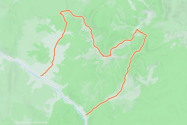
Sky Rim Trail
The Sky Rim is quite unlike most other hikes in Yellowstone. Instead of a meadow or valley trail, it’s an airy traverse of mountaintops and rugged ridgelines. At the border of Yellowstone National Park and Gallatin National Forest, it is far from the national park crowds, and the wild, elevated terrain makes it feel truly a world away....
8

Bechler River
9
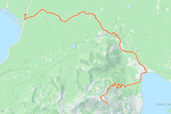
Heart Lake and Mount Sheridan
10


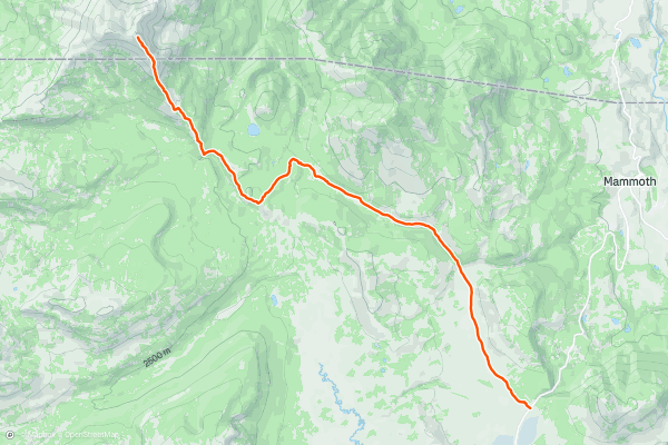
Electric Peak
At nearly 11,000 feet, Electric Peak is the giant in Yellowstone’s northwest corner. From the summit, you get uninterrupted views across the plains and forests below and out as far as the distant mountain ranges: the Crazies, Beartooths, Madisons, and Tetons....
11


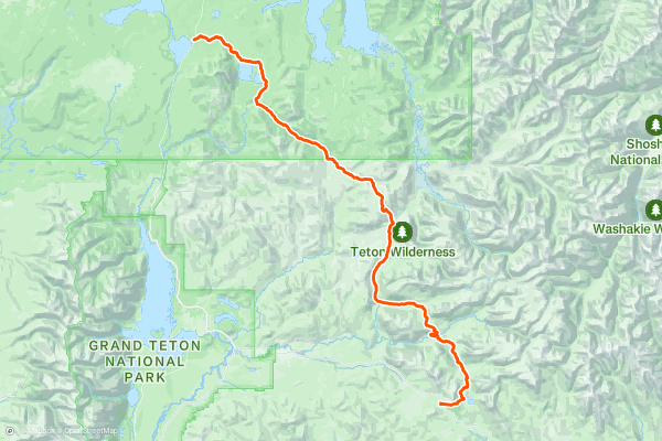
CDT: Togwotee Pass (US-26) to Lewis Lake (US-191)
Named after a Shoshone subchief, this segment of the CDT begins at Togwotee Pass, about 25 miles east of Moran Junction. The pass offers the most direct access to Grand Teton National Park and Jackson Hole from the east and has served as "an important trade route for native tribes," according to [this article](https://en....
12


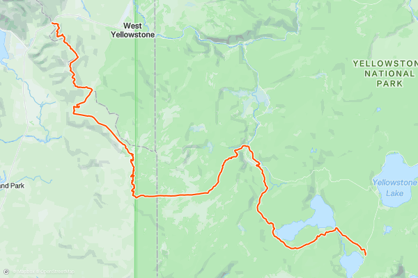
CDT: Lewis Lake (US-191) to Targhee Pass (US-20)
This leg of the CDT tours the southwest corner of Yellowstone National Park before making its way into Idaho and Montana. Along the way, you'll enjoy views of Shoshone Lake and the Minute Man Geyser before making your way to the iconic Old Faithful Geyser....
13
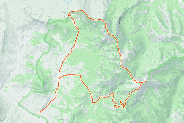
Sky Rim West
A very challenging 20-mile loop in Yellowstone’s far northwest corner. The first and last six or so miles take you through gentle meadows and forest, whereas the middle chunk of the route is a dramatic 7-mile rocky ridge traverse between Dailey Pass and the mighty 9,888 ft Big Horn Peak, which you have the opportunity to summit....
Topregio's voor hikingpaden op Strava
- Acadia National Park
- Alabama
- Alaska
- Albuquerque
- Alyeska
- Angeles National Forest
- Arizona
- Arkansas
- Austin, TX
- Bay Area
- Bend
- Big Sky
- Blue Mountain Ski Area
- Boston
- Boulder, CO
- Brevard
- Bridger Bowl
- Buena Vista
- California
- Cape Cod
- Colorado
- Connecticut
- Dahlonega
- Downieville
- Ellijay
- Flagstaff
- Florida
- Georgia
- Glacier National Park (USA)
- Grand Teton National Park
- Great Smoky Mountains National Park, TN
- Hawaii
- Hurricane
- Hyalite
- Idaho
- Illinois
- Indiana
- Kansas
- Kentucky
- Lake Tahoe
- Las Vegas, NV
- Los Angeles, CA
- Maine
- Mammoth Mountain
- Marin County
- Maryland
- Massachusetts
- Maui, HI
- Michigan
- Minnesota
- Missouri
- Moab
- Montana
- Mount Rainier National Park
- Mt. Rainier National Park, WA
- Nederland
- Nevada
- New Hampshire
- New Jersey
- New Mexico
- New York
- New York, NY
- North Bridgers
- North Carolina
- North Dakota
- Oakridge
- Ohio
- Oklahoma
- Oregon
- Park City and Deer Valley
- Pennsylvania
- Phoenix, AZ
- Placitas
- Portland, OR
- Roanoke
- Salida
- Salt Lake City, UT
- San Diego, CA
- San Francisco, CA
- Santa Fe, NM
- Santa Monica Mountains
- Seattle, WA
- Sedona, AZ
- Sisters
- South Carolina
- South Dakota
- South Lake Tahoe, CA
- Stowe
- Sugarbush
- Sun Valley
- Taos
- Telluride
- Tennessee
- Texas
- Timberline Lodge Summer
- Utah
- Vermont
- Virginia
- Washington
- West Virginia
- Wind River Range
- Winter Park
- Wisconsin
- Wyoming
- Yellowstone National Park
- Yosemite National Park, CA
- Zion National Park, UT