
Las mejores Rutas de senderismo en West Virginia
Explorar Rutas de senderismoLas 18 rutas de senderismo más populares en West Virginia
1


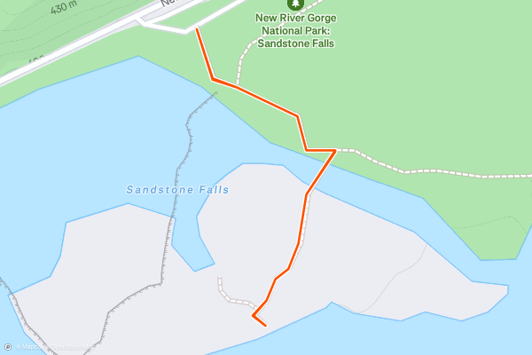
Sandstone Falls
Sandstone Falls is one of the must-visit destinations in New River Gorge, and this fully-accessible hike is one everyone in the family will enjoy. A boardwalk leads across two small islands to an observation area offering a "fantastic views of the falls" spanning nearly 1/4-mile from shore to shore, with up to a 25' drop in places....
2


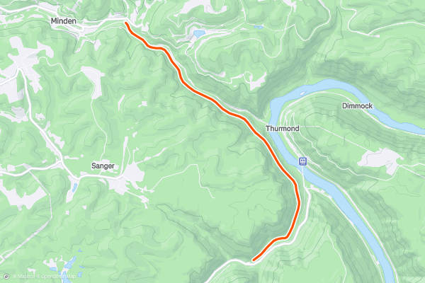
Rend Trail
The Rend Trail is one of New River's most popular hikes as it follows an old railroad grade with great "views of Dunloup Creek, the New River, and the historic community of [Thurmond](https://www....
3


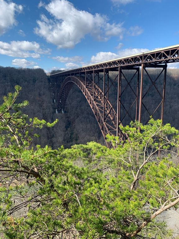
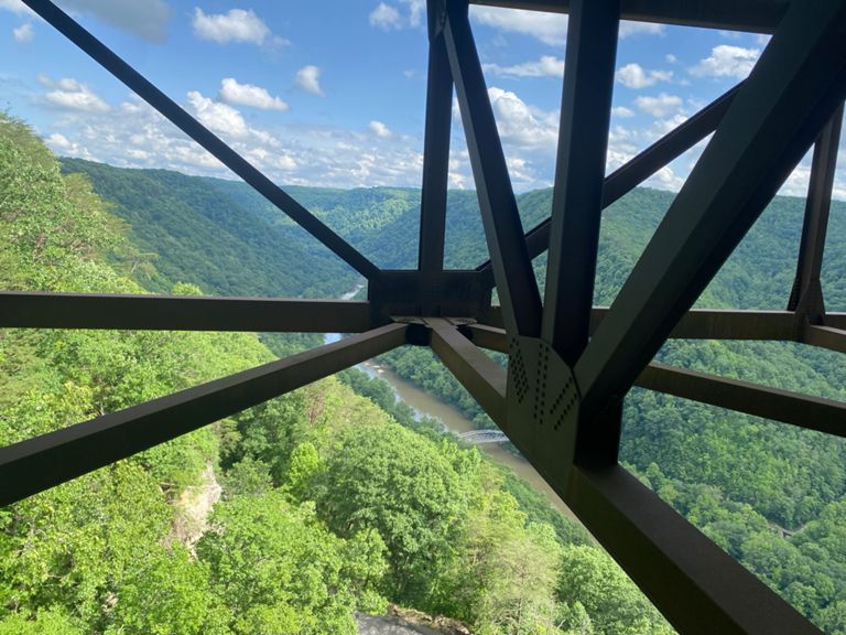

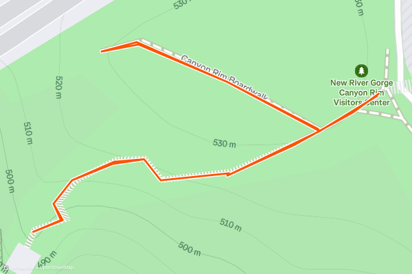
Canyon Rim Boardwalk
A centerpiece of America's 63rd national park, the New River Gorge Bridge is **the** must-see attraction for anyone planning a visit. This short walk begins at the the main park visitor center and leads to a great overlook with amazing views - a perfect option for any member of the family....
4
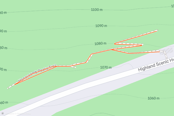
Honeycomb Rocks Trail
The Honeycomb Rocks Trail is a short interpretive path showcasing a series of unique rock formations seen in few places around the country. Often referred to as *boxwork* formations, these rocks formed along a nearby ridgeline, though weathering and aging eventually allowed them to break off and roll down the mountainside....
5
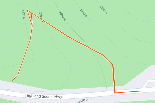
Cranberry Glades Overlook Trail
The Cranberry Glades Overlook Trail is a quick and somewhat easy hike to an impressive view of the nearby bog. Set aside about 30-minutes to complete the trek, and take a few minutes to read the sign at the overlook....
6
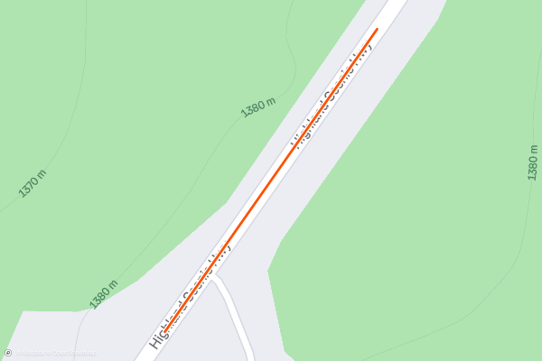
Black Mountain Fire Interpretive Trail
Whether you're visiting Snowshoe or driving the scenic road through Monongahela NF, this short hike is one of the best you will find. Well worth the 20-minute stop, an elevated boardwalk wanders through a rock field partially shrouded by large red spruce above....
7


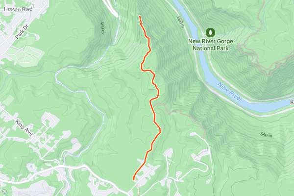
Long Point Trail
The New River Gorge Bridge is the must-see attraction for anyone visiting Fayetteville, and Long Point is one of the best ways to see it. Second only to the easier [Canyon Rim Boardwalk](https://fatmap....
8


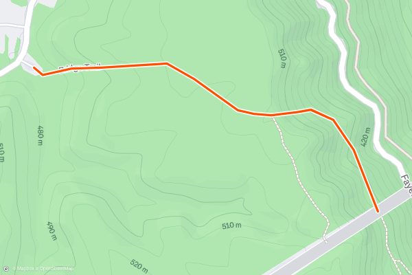
Bridge Trail
The Bridge Trail is one of the best short hikes near Fayetteville to see the iconic New River Gorge Bridge. Rocky and steep at times, the trail offers unique and intimate views of the bridge, which the park proudly considers to be "the most photographed place in West Virginia....
9


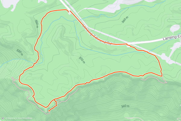
Endless Wall Trail
With its *endless* cliffside views and abundance of climbing routes, the Endless Wall is an iconic day hike for anyone visiting New River Gorge NP. Towering nearly 1000 feet above, the views of New River are absolutely incredible, and, depending on the season, "you can often hear the voices of whitewater rafters as they experience the wild rapids of the lower New," the park states....
10


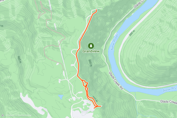
Grandview Rim Trail
The Grandview Rim Trail is one of New River's classic overlook hikes, offering spectacular views looking down on the deepest segment of the New. Enjoy a short 0.5-mile interpretive walk with views along the rim, or hike the entire trail to Turkey Spur for even more incredible views - then retrace your steps back to the trailhead....
11



Glade Creek Trail
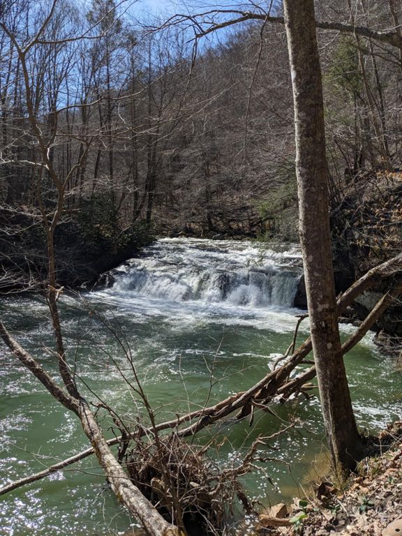
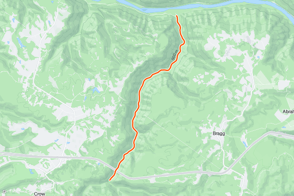
If you're searching for your own private swimming hole or a quiet riverside spot to cast a line, look no further than Glade Creek. Following an abandoned railroad bed along the river, this hike is sure to impress anyone in the family - including the dog! The abundance of unnamed cascades and small waterfalls make this one of the classic must-do hikes for anyone visiting New River Gorge....
12
Red Spruce Knob Trail
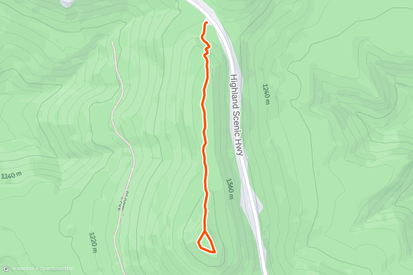
The Red Spruce Knob Trail is a short out-and-back through stunning, native evergreens on the highest peak on Highland Scenic Highway. The forest floor is blanketed in needles, unique rock formations line the trail, and summer blackberries can be found amongst the ferns....
13
Tea Creek Interpretive Trail
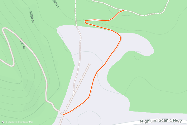
Just across the road from the [Red Spruce Knob Trail](https://fatmap.com/routeid/2808925/red-spruce-knob-trail), this easy hike wanders through a meadow with excellent views, then wanders down to a boardwalk alongside a wetland area and beaver dam....
14


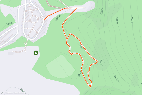
Tunnel Trail
Sitting in the New River Gorge National River area, the Tunnel Trail begins at Grandview Park, a popular recreational area known for its stunning vistas and outdoor activities. The trailhead is easily accessible from the park's main parking lot, so access is super easy....
15


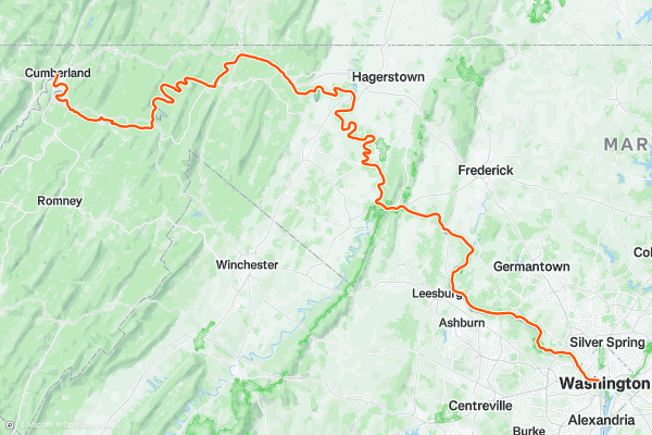
Chesapeake and Ohio Canal Trail
The C&O Canal Towpath follows the route of the historic Chesapeake and Ohio Canal, which operated from the mid-19th to the early 20th century. Listing every historical site en route would require an essay, but suffice to say that you can expect lockhouses, aqueducts, and countless other historical sites, both on the canal and close to it....
16


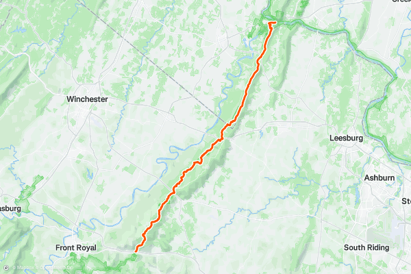
Appalachian Trail: Tucker Lane to Harpers Ferry
After leaving the high peaks of the Shenandoah National Park Area, this segments provides a nice break as it traverses through the lowlands on its way to Harpers Ferry.
Along Tucker Lane, just a few hundred feet north of Interstate 66, you'll find a parking area along the east side of the road....
17


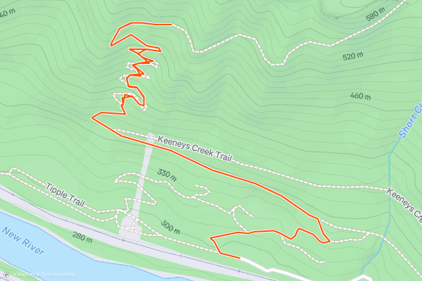
Conveyor Trail
The Conveyor Trail is a short but quad-busting trail with great views of the Nuttall coal mine and the conveyor "used to transport coal from the mine to the processing area at river level," according to the NPS....
18


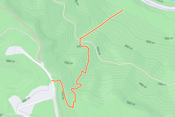
Kaymoor Miners Trail
The Kaymoor Miners Trail is a steep trail that descends into the New River Gorge via stairs and switchbacks to the historic Kaymoor coal mine. For those seeking a quick view, an overlook sits just 0....
Las regiones más populares para rutas de senderismo en Strava
- Acadia National Park
- Alabama
- Alaska
- Albuquerque
- Alyeska
- Angeles National Forest
- Arizona
- Arkansas
- Austin, TX
- Bay Area
- Bend
- Big Sky
- Blue Mountain Ski Area
- Boston
- Boulder, CO
- Brevard
- Bridger Bowl
- Buena Vista
- California
- Cape Cod
- Colorado
- Connecticut
- Dahlonega
- Downieville
- Ellijay
- Flagstaff
- Florida
- Georgia
- Glacier National Park (USA)
- Grand Teton National Park
- Great Smoky Mountains National Park, TN
- Hawaii
- Hurricane
- Hyalite
- Idaho
- Illinois
- Indiana
- Kansas
- Kentucky
- Lake Tahoe
- Las Vegas, NV
- Los Angeles, CA
- Maine
- Mammoth Mountain
- Marin County
- Maryland
- Massachusetts
- Maui, HI
- Michigan
- Minnesota
- Missouri
- Moab
- Montana
- Mount Rainier National Park
- Mt. Rainier National Park, WA
- Nederland
- Nevada
- New Hampshire
- New Jersey
- New Mexico
- New York
- New York, NY
- North Bridgers
- North Carolina
- North Dakota
- Oakridge
- Ohio
- Oklahoma
- Oregon
- Park City and Deer Valley
- Pennsylvania
- Phoenix, AZ
- Placitas
- Portland, OR
- Roanoke
- Salida
- Salt Lake City, UT
- San Diego, CA
- San Francisco, CA
- Santa Fe, NM
- Santa Monica Mountains
- Seattle, WA
- Sedona, AZ
- Sisters
- South Carolina
- South Dakota
- South Lake Tahoe, CA
- Stowe
- Sugarbush
- Sun Valley
- Taos
- Telluride
- Tennessee
- Texas
- Timberline Lodge Summer
- Utah
- Vermont
- Virginia
- Washington
- West Virginia
- Wind River Range
- Winter Park
- Wisconsin
- Wyoming
- Yellowstone National Park
- Yosemite National Park, CA
- Zion National Park, UT