
Die besten Wander-Trails in Tennessee
Wander-Trails entdeckenDie 25 Top-wander-trails in Tennessee
Page 1 of 2
1


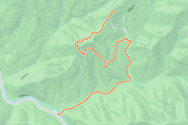
Alum Cave Trail
The Alum Cave Trail is a stunning hike with memorable geological features like a natural stone arch and, of course, a large cave. You’ll pass under Arch Rock just over a mile into the trail and then reach the cave bluffs at approximately 3 miles. This trail follows an out and back route. Because of the length and significant elevation gain, most hikers consider this a hard hike. This route is for those who wish to turn back after the Alum Cave Bluffs, but you can also continue on to the summit of Mount LeConte if you’d like to extend the hike to 10+ miles. The Alum Cave Trail is one of the most popular hikes in Great Smoky Mountains National Park.
2


Laurel Falls Trail
The Laurel Falls Trail is a welcoming and partially paved hike to a beautiful waterfall. The hike follows an out and back route. Because of the relative lack of elevation gain, most hikers consider this an easy hike. But, be prepared for slippery conditions. Due to a few steep sections in the concrete, the National Park Service does not recommend this trail to wheelchair users or those pushing strollers. Take a look at the community photos to get a sense of the waterfall that awaits you.
3
Laurel Falls
Laurel Falls is a tiered cascade of about 80 feet in height, dropping in multiple columns over glistening rocks, and surrounded by the lush greenery of mountain laurel. The laurel is what the waterfall is named for, and you'll see lots of this thick-leaved shrub plus its cousin, rhododendron, all along the trail....
4


Gatlinburg Trail
The Gatlinburg Trail runs almost two miles one-way from the outskirts of Gatlinburg to the Sugarlands Vistor Center in Great Smokey Mountains National Park.
This is a flat, easy hike that "runs through the forest alongside the West Prong of the Little Pigeon River," [according to](https://www....
5


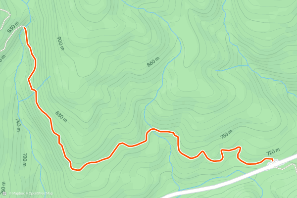
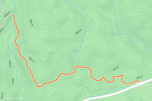
Abrams Falls Trail
The Abrams Falls Trail is a great hike along Abrams Creek to the beautiful Abrams Falls. You’ll cross a few streams and take in the peace of the forest on your way to the waterfall. The trail follows an out and back route. The Abrams Falls Trail doesn’t have significant elevation changes or steep sections, but is considered moderate because of its overall length. This is one of the most popular hikes in Great Smoky Mountains National Park.
6
Abrams Falls
Abrams Falls is a high-volume waterfall about 20 feet high that drops into a large pool with great swimming spots and a wide beach of river stones. It’s extremely popular during warm months for the swimming, but scenic at any time of year....
7


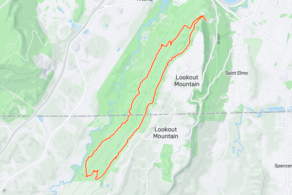
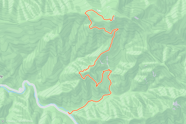
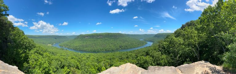
Big Daddy Loop
Whether you're a local or just visiting, this is one of the best hiking loops Chattanooga has to offer. Just a short drive from downtown, the route traverses historic Lookout Mountain into Georgia and showcases one of the best trails in the region - the Bluff Trail....
8


Hen Wallow Falls
Hen Wallow Falls is a stunning 90' waterfall that spreads from a mere 2' at its highest, to 20' at its base. It's a great hike year-round and moderate to difficult at most....
9


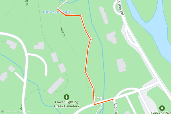
Cataract Falls
Of all the waterfall hikes within the Smokies, Cataract Falls may be one of the best options for the entire family. Though just 15 minutes from the trailhead, it includes an array of beautiful and interesting trees, and the 25' waterfall is particularly serene for being so close to the parking lot....
10


Grotto Falls
Located near Gatlinburg, Grotto Falls is a 2.6-mile round trip hike to a stunning 25' waterfall that you can walk behind! According to the [NPS](https://www.nps.gov/grsm/planyourvisit/grotto-falls.htm), "the cool, moist environment near the falls is ideal for salamanders," and it makes an excellent summer hike for the entire family!
This out-and-back hike begins at stop #5 on the Roaring Fork Motor Nature Trail....
11


Appalachian Trail to Charlie's Bunion
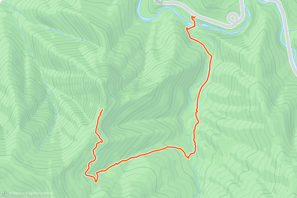
Channel your inner thru-hiker and take the Appalachian Trail to Charlie's Bunion. This is a memorable out-and-back day hike that passes several peaks before arriving at a natural rock formation called Charlie’s Bunion. You’ll summit Mount Amber and skirt the summit of Mount Kephart before arriving at The Bunion. The Appalachian Trail stretches from Georgia to Maine, so depending on the time of year, you might bump into some folks doing the whole thing! Because of its length most hikers consider this a hard hike. This is a popular hike in the park with Strava Members.
12


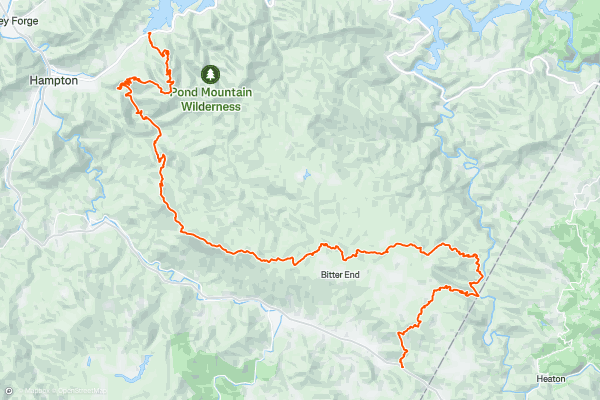
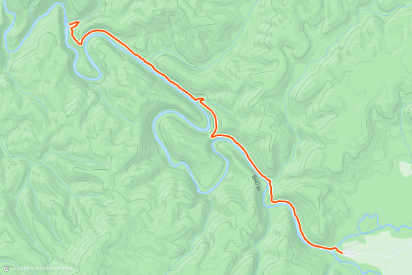
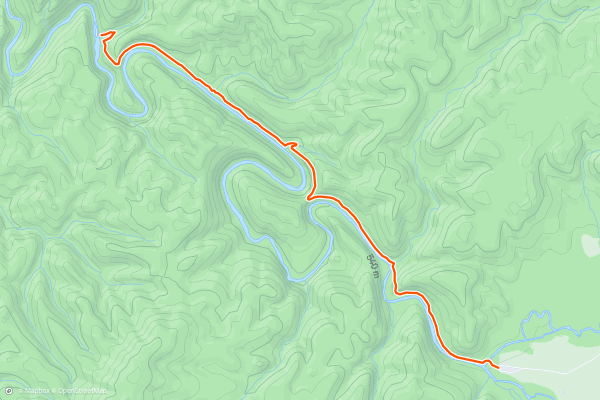
Appalachian Trail: Wilder Mine Hollow to Watauga Lake
This stretch of the Appalachian Trail is typically traversed over 2-3 days, though an experienced runner or hiker could complete it in one day.
Parking at US19E is limited, but a few gravel pull-offs allow for a shuttle opportunity for those looking for those looking to thru-hike the section....
13

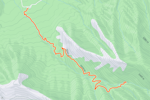
Mount LeConte via Alum Cave
This hike is considered by most people to be one of the best in the Great Smoky Mountains National Park. There are many ways to access the popular summit of Mount LeConte, but this is by far the most common....
14


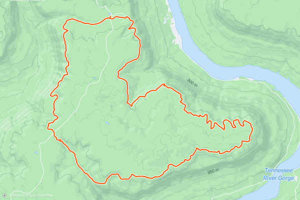
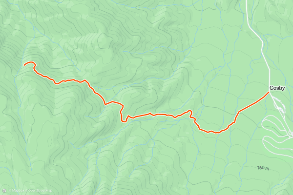
Pot Point Loop
Pot Point Loop is one of two popular hiking routes in Prentice Cooper State Forest—Mullens Cove Loop being the other. Both loops combined make up 33.8 miles of the Cumberland Trail and can be paired together for an overnight trip....
15

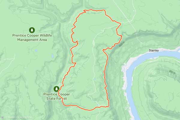
Mullens Cove Loop
Mullens Cove Loop is one of two popular hiking routes in Prentice Cooper State Forest—Pot Point Loop being the other. Both loops combined make up 33.8 miles of the Cumberland Trail and can be paired together for a longer overnight trip....
16


Chimney Tops Trail
Chimney Tops Trail is one of the most popular hikes in Great Smoky Mountains National Park, due to its easy access from Gatlinburg and relatively short distance to rewarding views. It is not easy, however, because of its steepness....
17


Rainbow Falls
Boasting the title of "Highest Single-Drop Waterfall in the Smokies," this hike to Rainbow Falls should top your bucket list during your next visit. Toppling over an 80' ledge, the mist from the waterfall produces a stunning rainbow visible on most sunny afternoons....
18


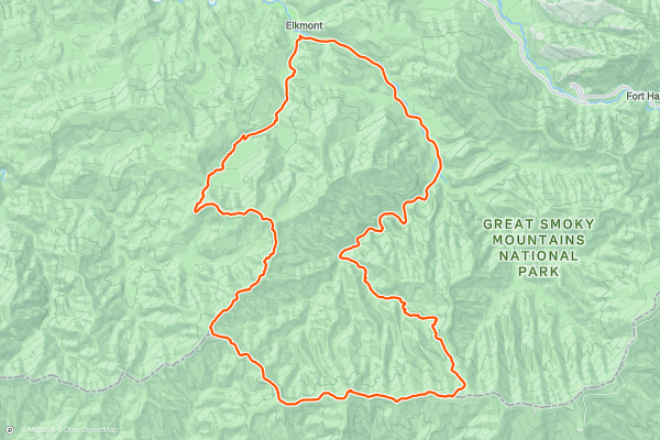
Elkmont Loop
Beginning at the Elkmont Campground, this circuit is a versatile overnight trip with beautiful rivers, waterfalls, and epic views at the higher elevations! You can hike this exact route, or add in your own unique twist with a side trip to Middle Prong Trail or even Clingmans Dome on the AT! There is plenty of history to be discovered along the way too, including remnants of logging camps or the historic Daisy Town near the campground....
19


Chimney Tops Trail
The Chimney Tops Trail is a fun and challenging hike to an overlook of the beautiful, bare rock peak of Chimney Tops, a 200 million year old mountain. The trail follows an out and back route. Because of the steep grades throughout the hike, most hikers consider this a hard trail. This is one of the popular hikes with Strava members visiting Great Smoky Mountains National Park.
20


Fiery Gizzard Loop
The Fiery Gizzard Loop is a challenging but incredibly rewarding hike. Along the way, you'll pass a series of spectacular waterfalls, such as the 60-foot-tall Foster Falls, Sycamore Falls, and more....
Page 1 of 2
Topregionen für wander-trails bei Strava
- Acadia National Park
- Alabama
- Alaska
- Albuquerque
- Alyeska
- Angeles National Forest
- Arizona
- Arkansas
- Austin, TX
- Bay Area
- Bend
- Big Sky
- Blue Mountain Ski Area
- Boston
- Boulder, CO
- Brevard
- Bridger Bowl
- Buena Vista
- California
- Cape Cod
- Colorado
- Connecticut
- Dahlonega
- Downieville
- Ellijay
- Flagstaff
- Florida
- Georgia
- Glacier National Park (USA)
- Grand Teton National Park
- Great Smoky Mountains National Park, TN
- Hawaii
- Hurricane
- Hyalite
- Idaho
- Illinois
- Indiana
- Kansas
- Kentucky
- Lake Tahoe
- Las Vegas, NV
- Los Angeles, CA
- Maine
- Mammoth Mountain
- Marin County
- Maryland
- Massachusetts
- Maui, HI
- Michigan
- Minnesota
- Missouri
- Moab
- Montana
- Mount Rainier National Park
- Mt. Rainier National Park, WA
- Nederland
- Nevada
- New Hampshire
- New Jersey
- New Mexico
- New York
- New York, NY
- North Bridgers
- North Carolina
- North Dakota
- Oakridge
- Ohio
- Oklahoma
- Oregon
- Park City and Deer Valley
- Pennsylvania
- Phoenix, AZ
- Placitas
- Portland, OR
- Roanoke
- Salida
- Salt Lake City, UT
- San Diego, CA
- San Francisco, CA
- Santa Fe, NM
- Santa Monica Mountains
- Seattle, WA
- Sedona, AZ
- Sisters
- South Carolina
- South Dakota
- South Lake Tahoe, CA
- Stowe
- Sugarbush
- Sun Valley
- Taos
- Telluride
- Tennessee
- Texas
- Timberline Lodge Summer
- Utah
- Vermont
- Virginia
- Washington
- West Virginia
- Wind River Range
- Winter Park
- Wisconsin
- Wyoming
- Yellowstone National Park
- Yosemite National Park, CA
- Zion National Park, UT