
As melhores Trilhas de caminhada neste local: New Mexico
Explorar Trilhas de caminhada68 principais trilhas de caminhada neste local: New Mexico
Page 1 of 4
1


Atalaya Mountain Trail
The Atalaya Mountain Trail is a fun hike with great views of Santa Fe and the surrounding mountains. Atalaya is Spanish for “watchtower,” which is fitting considering the views from the summit. This trail follows an out and back route. Because of its length and overall elevation change, most consider this a moderate hike. The Atalaya mountain trail is one of the most popular hikes with Strava members in Santa Fe. If you’re planning to arrive by car, there is ample parking near the trailhead at St. John’s College.
2


Sun Mountain Trail
The Sun Mountain Trail is a short but challenging hike with steep switchbacks to the summit of Sun Mountain. From the summit you’ll enjoy views of Santa Fe and the surrounding National Forest. This trail follows an out and back route. Because of the steep grades, most consider this a hard hike. This hike is one of the most popular with Strava members in Santa Fe. Take a look at the photos from the community to get a sense of the great views from the top.
3


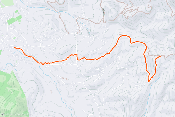
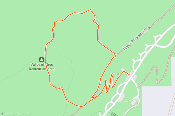
Bandelier National Monument: Main Loop
This hike should be on the top of any Bandelier National Monument hiker's list. In order to fully appreciate a National Park or Monument, it is important to understand why it was designated in the first place....
4


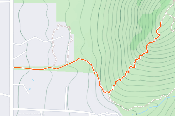
Tyuonyi Overlook
The Tyuonyi Overlook Trail is a fantastic stroll that can be done by most hikers of any age. The 2.5-mile loop is fairly flat, and the trail is non-technical, getting somewhat rocky near the end....
5
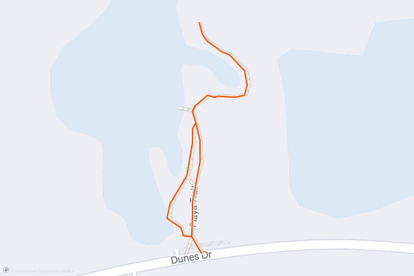
Playa Trail Overlook
The Playa Trail is the easiest hike in White Sands National Park, and it's perfect for the entire family! It explores "a shallow depression or low-lying area that fills temporarily with rainwater from storms," though it is often reminiscent of a dry lakebed....
6
Interdune Boardwalk
Fully accessible for wheelchairs and strollers, this short hike in White Sands wanders along an elevated boardwalk with expansive views of the dunefield, framed by the Sacramento Mountains to the east....
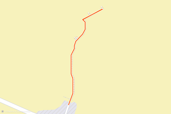
7


Chihuahuan Desert Nature Trail
The Chihuahuan Desert Nature Trail is both the shortest and easiest hike in Carlsbad Caverns NP. The path is mostly paved, completely accessible, and offers interoperative trailside signage highlighting the regional flora and fauna....
8
Walnut Canyon Vista
This short hike follows a paved path to a scenic overlook of Walnut Canyon. If you are planning a day to [explore the caverns](https://www.nps.gov/cave/planyourvisit/selfguided_tours.htm) on one of two trails, this is the perfect opportunity to stretch your legs and snag some views before arriving at the visitor center....
9
Walnut Canyon Nature Trail
Paired with the [Walnut Canyon Overlook](https://fatmap.com/routeid/2699945/walnut-canyon-vista) trail, this is one of two short hikes along the main road to Carlsbad Caverns visitor center. If you are planning a day to [explore the caverns](https://www....
10
Malpais Nature Trail
The Malpais Nature Trail is a spectacular short hike through a lava flow dating back just 5,000 years. The BLM states that "the lava flow is considered to be one of the youngest lava flows in the continental United States," and though the blackened landscape seems barren, "there are many varieties of flowers, cactus, trees, and bushes typical of the Chihuahuan desert....
11


Overlook Trail
This short, easy hike is more accessible than La Vista Verde and still provides fantastic views of the Rio Grande Gorge! You'll begin by hiking along the rim from the well-developed Rift Valley trailhead....
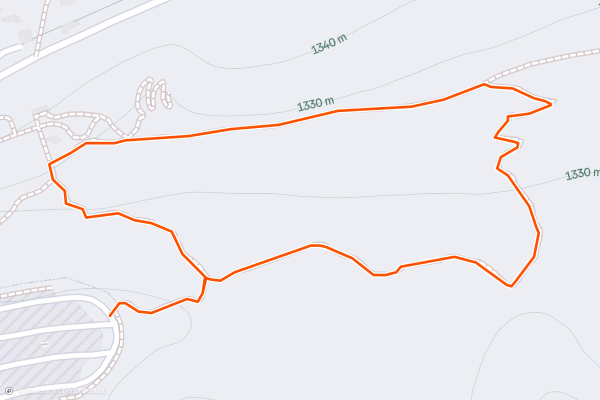
12


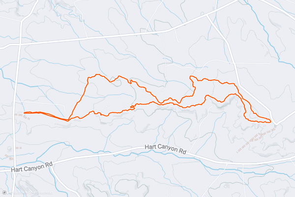
Alien Run: Short Loop
The Alien Run trails fly well below the radar, but mountain bikers in the know rave about this small trail system as one of the best in northwestern New Mexico. While these trails are most often used by two-wheeled aficionados, hikers and trail runners should also investigate this fantastic network of desert singletrack....
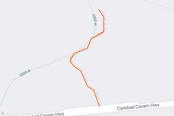
13


UFO Crash Site
The Alien Run Trail System gets its name from a UFO crash landing that happened at this site in 1948. This short, easy hike leads directly to the UFO crash site, where you're able to experience the mystery for yourself....
14


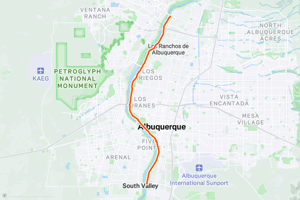
Paseo del Bosque: Point-to-Point
The Rio Grande Bosque is one of Albuquerque's true gems. Due to the Rio Grande's historic propensity to flood, the city's construction was kept well back from the waterway, leaving this incredible green space running through the heart of the city....
15
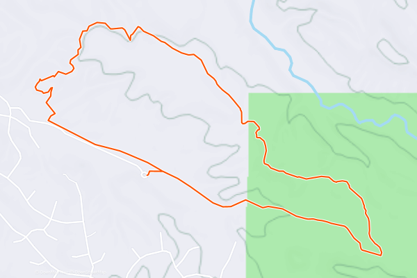
Placitas North: Sidewinder to Alta Vista Loop
When people refer to the "Placitas" trails, they're almost always talking about the trail system located directly off Highway 165, which has a perpetually crowded parking lot. But for a much more remote and isolated ride, you can also drive north through the sprawling mansions and reach *another* Placitas trail system on BLM land....
16
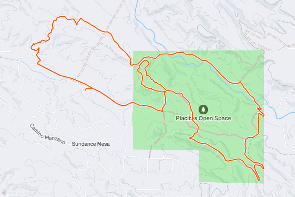
Placitas North Loop
When people refer to the "Placitas" trails, they're almost always talking about the trail system located directly off Highway 165, which has a perpetually crowded parking lot. But for a much more remote and isolated ride, you can also drive north through the sprawling mansions and reach *another* Placitas trail system on BLM land....
17


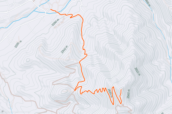
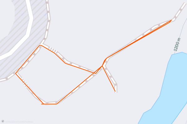
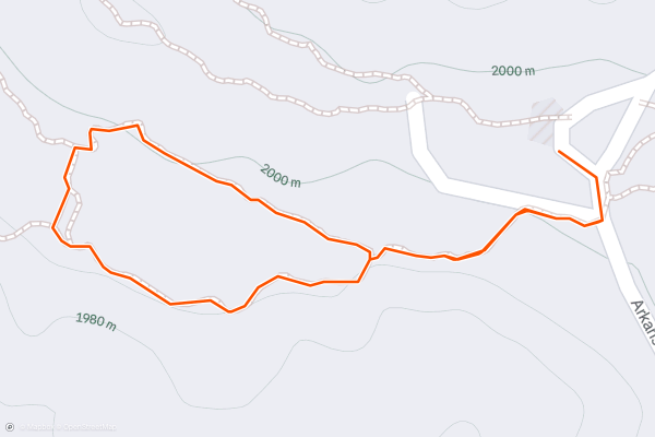
Picacho Peak Trail
The Picacho Peak Trail is a challenging hike that rewards adventurers with panoramic views of The Sangre de Cristo Mountains. The trailhead can be found just off Upper Canyon Road. Once on the trail, the hike follows an out and back route. Because of the steep grades and demanding switchbacks near the summit, most consider this a hard hike. The rewarding views and fun challenge make this one of the most popular hikes in the area with Strava members.
18


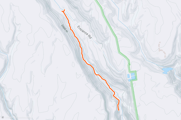
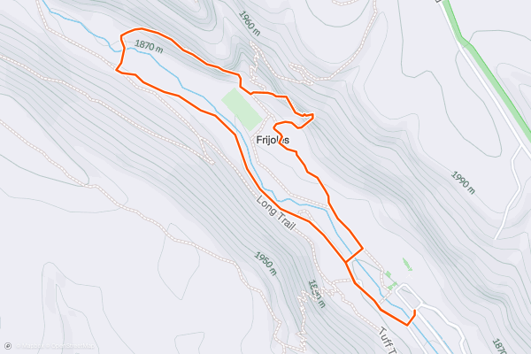
Falls Trail
This hike to the Upper Falls of Frijoles Creek is extremely popular, and for good reason. It is only 1.5 miles to the falls (3 miles roundtrip), but the route takes hikers through beautiful shaded woods, to canyon views, and they get to enjoy the frequent sound of burbling water....
19

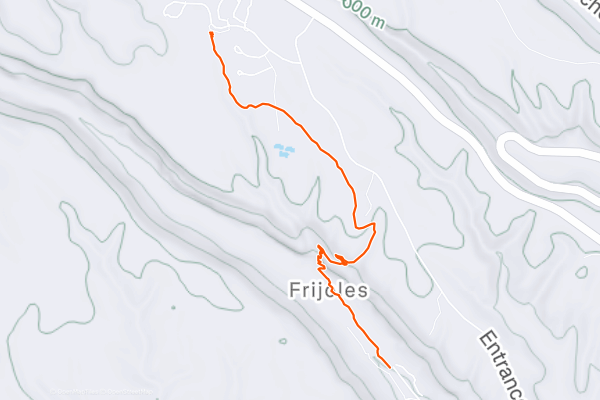
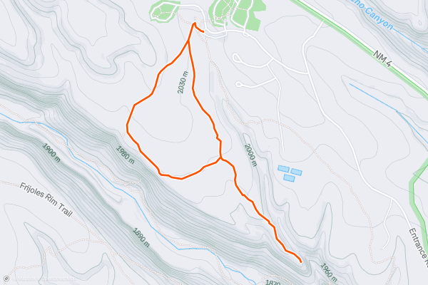
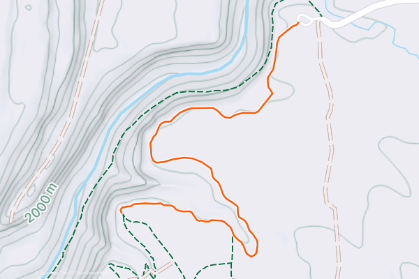
Frey Trail
This 1.5-mile trek down into Frijoles Canyon has got it all: history; dramatic, expansive canyon views; beautiful plants, including brilliant red cactus blossoms; and the opportunity to hike downhill only!
The Frey Trail, originally called the Old North trail, used to be the primary way to get from the North Rim down to the bottom of Frijoles Canyon....
20


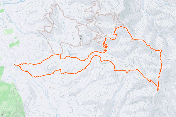
Atalaya Mountain Loop
Atalaya Mountain provides a great half-day hike of moderate strenuousness starting from the foothills close to the town of Santa Fe. The route uses the St Johns Trail nd Atalaya Trail to gain the summit, followed by the Dale Ball Trails system to return, providing a wonderful scenic loop with a different way to descend....
Page 1 of 4
Principais regiões para trilhas de caminhada no Strava
- Acadia National Park
- Alabama
- Alaska
- Albuquerque
- Alyeska
- Angeles National Forest
- Arizona
- Arkansas
- Austin, TX
- Bay Area
- Bend
- Big Sky
- Blue Mountain Ski Area
- Boston
- Boulder, CO
- Brevard
- Bridger Bowl
- Buena Vista
- California
- Cape Cod
- Colorado
- Connecticut
- Dahlonega
- Downieville
- Ellijay
- Flagstaff
- Florida
- Georgia
- Glacier National Park (USA)
- Grand Teton National Park
- Great Smoky Mountains National Park, TN
- Hawaii
- Hurricane
- Hyalite
- Idaho
- Illinois
- Indiana
- Kansas
- Kentucky
- Lake Tahoe
- Las Vegas, NV
- Los Angeles, CA
- Maine
- Mammoth Mountain
- Marin County
- Maryland
- Massachusetts
- Maui, HI
- Michigan
- Minnesota
- Missouri
- Moab
- Montana
- Mount Rainier National Park
- Mt. Rainier National Park, WA
- Nederland
- Nevada
- New Hampshire
- New Jersey
- New Mexico
- New York
- New York, NY
- North Bridgers
- North Carolina
- North Dakota
- Oakridge
- Ohio
- Oklahoma
- Oregon
- Park City and Deer Valley
- Pennsylvania
- Phoenix, AZ
- Placitas
- Portland, OR
- Roanoke
- Salida
- Salt Lake City, UT
- San Diego, CA
- San Francisco, CA
- Santa Fe, NM
- Santa Monica Mountains
- Seattle, WA
- Sedona, AZ
- Sisters
- South Carolina
- South Dakota
- South Lake Tahoe, CA
- Stowe
- Sugarbush
- Sun Valley
- Taos
- Telluride
- Tennessee
- Texas
- Timberline Lodge Summer
- Utah
- Vermont
- Virginia
- Washington
- West Virginia
- Wind River Range
- Winter Park
- Wisconsin
- Wyoming
- Yellowstone National Park
- Yosemite National Park, CA
- Zion National Park, UT