
Las Vegas, NV 中最佳的 远足路径
探索 远足路径Trail adventures not far from The Strip
When they think of Las Vegas, most folks think of the bright lights of the strip. But, locals know that Las Vegas is a great and underrated city for hiking. With Red Rock Canyon National Conservation Area to the west, Lone Mountain to the north, and Sloan Canyon to the south, there are a tremendous number of great hiking trails to choose from.
If you’re looking to go straight to the best hikes in Las Vegas, our data suggests you should head north to the Calico Tanks Trail. This hike is technical and challenging, but on the shorter side. There are easier trails as well, with First Creek Canyon being a popular, family friendly hiking option.
We use data from millions of hikes to compile the best hiking trails in Las Vegas. This up to date list will help you have a great time on the trail!
Las Vegas, NV 中 远足路径 的前 10 名
1


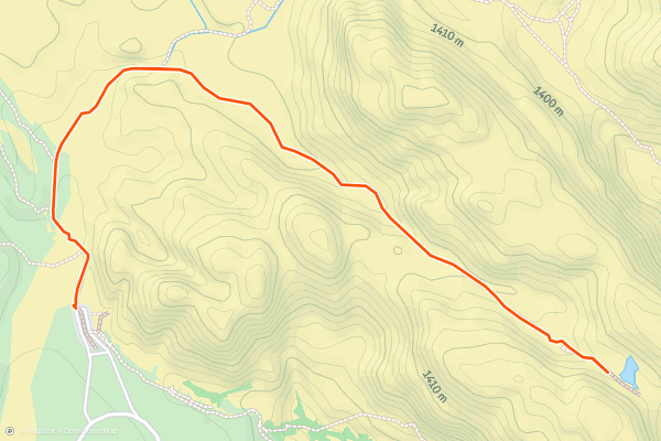
Calico Tanks Trail
The Calico Tanks Trail is a unique hike that takes you through beautiful sandstone rock formations in Red Rock Canyon National Conservation Area. As you make your way, you’ll come to a number of natural rock pools, known as “tanks,” which are filled when there’s been enough rain. This hike follows an out and back route. It is on the shorter side, but requires a good amount of scrambling and maneuvering over rocks. Despite the short length, most hikers consider this a hard trail. This is one of the most popular and photo worthy hikes in the area. During some portions of the year, access to the canyon requires a timed ticket. Check here to see you’ll need one <a href="https://www.recreation.gov/timed-entry/10075177">https://www.recreation.gov/timed-entry/10075177</a>
2


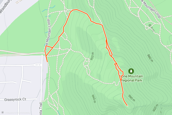
Lone Mountain Trail
The Lone Mountain Trail is a short, but steep and rewarding hike in Las Vegas. At the top you’ll enjoy views of the city to the east and Red Rock Canyon to the west. The trail follows an out and back route. It’s on the shorter side, but because of the sustained steep grade, most hikers consider this a hard route. This is one of the most popular hikes with Strava members in Las Vegas. The summit is a great place to enjoy a snack and some great views.
3


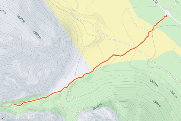
Ice Box Canyon Trail
The Ice Box Canyon Trail is a fun hike through a shady, secluded canyon in the Red Rock Canyon National Conservation Area. Depending on the time of year, there may even be water flowing and some small waterfalls to check out! The trail follows an out and back route. Much of the trail is moderate, but because of a few technical and steep sections most hikers consider this a hard trail. This is one one of the most popular hikes in the area with Strava members. During some portions of the year, access to the canyon requires a timed ticket. Check here to see you’ll need one <a href="https://www.recreation.gov/timed-entry/10075177">https://www.recreation.gov/timed-entry/10075177</a>
4


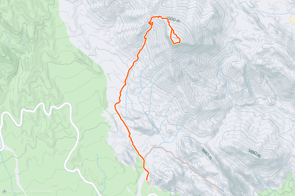
Turtlehead Peak Trail
The Turtlehead Peak Trail is a challenging and rewarding hike to the summit of Turtlehead Mountain in the La Madre Mountain Wilderness. The trail follows an out and back route. This hike has several steep sections and a large amount of overall elevation gain. Most hikers consider this a hard hike, and the views from the summit are a worthy reward. The Turtlehead peak trail is a popular hike with Strava members. Check out the photos from the community to get a sense of what you’ll see along the trail.
5


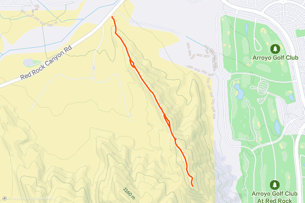
Flagpole Hike along Gunsight Ridge Trail
The Flagpole Hike along the Gunsight Ridge Trail is a welcoming hike with great views. It leads to a flagpole which can be seen for miles around. There are several hikes to choose from in this area, and this is one of the more popular easy routes. The trail follows an out and back route and ends in a short but steep climb to the flagpole. This is a popular hike with Strava members in Las Vegas. Although the trail is technically within the Red Rock Canyon National Conservation Area, you do not need a timed ticket to access this trailhead.
6


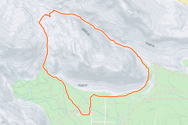
Kraft Mountain Loop
The Kraft Mountain Loop trail is a fun and challenging hike around Kraft Mountain just outside Las Vegas, Nevada. Most Strava members take the loop in the clockwise direction, but you can go either way. Due to some technical sections and areas where you’ll have to scramble over boulders, most hikers consider this a hard hike. This is a popular hike with Strava members in the Las Vegas area. Check out the photos from the community to get a sense of the beautiful red rocks and views you’ll enjoy along the way.
7


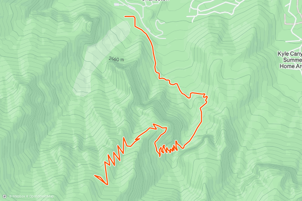
Griffith Peak via Charleston Peak Trail South
The Griffith Peak Hike along the Charleston Peak Trail South Loop is a challenging and rewarding hike with steep switchbacks to the summit of Griffith Peak. The trail follows an out and back route. Because of its length and steep overall grade, most hikers consider this a hard hike. There are several trails in this area, but this is the most popular route with Strava members. It’s a trek, but get ready for a spectacular panoramic view at the summit.
8


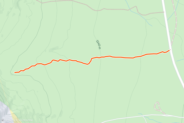
First Creek Canyon Trail
The First Creek Canyon Trail is a serene and welcoming desert hike which leads to a quaint waterfall. The trail follows an out and back route. Most consider this an easy hike. This is a popular hike for Strava members in Las Vegas, and the well maintained trail is a great option for hikers of all ability levels. Although the trail is technically within the Red Rock Canyon National Conservation Area, you do not need a timed ticket to access this trailhead.
9


Mary Jane Falls Trail
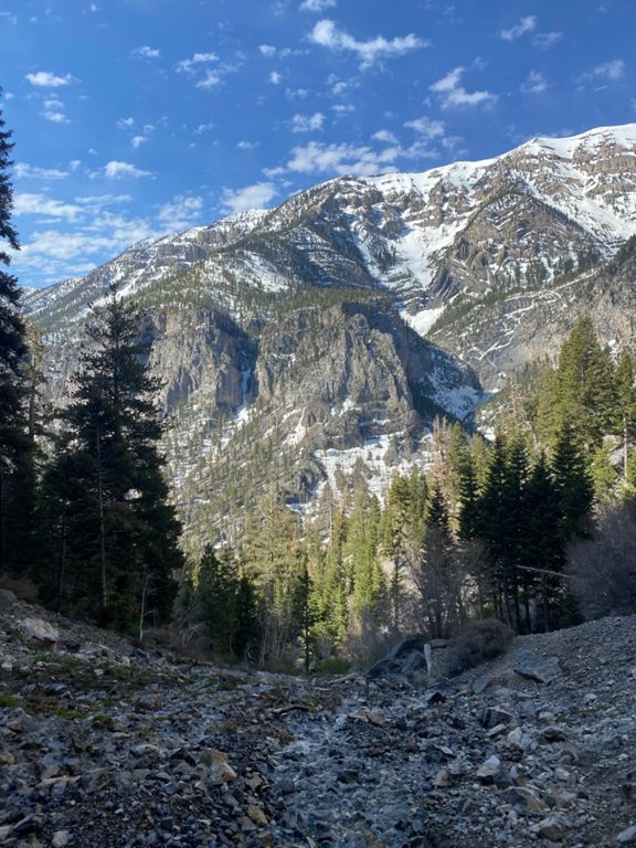
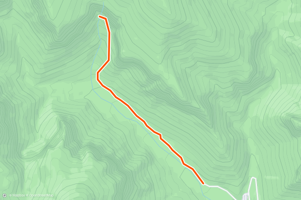
The Mary Jane Falls Trail is a fun hike to a stunning waterfall in the Mount Charleston Wilderness outside Las Vegas, Nevada. The trail follows an out and back route. Because of its sustained, steep grades, most consider this a hard hike. This is a popular hike with Strava members in the Las Vegas area. Mary Jane Falls is a great place for a snack or lunch and to take in the beauty of the protected wilderness.
10


Fletcher Canyon Trail
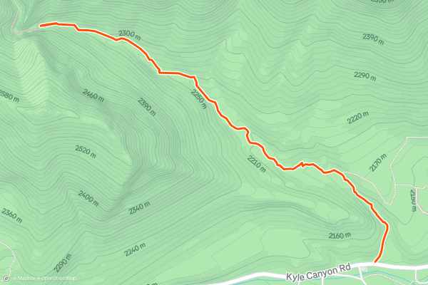
The Fletcher Canyon Trail is a beautiful hike through a serene canyon in the Mount Charleston Wilderness. The trail follows an out and back route. Most hikers consider this a moderate trail due to its length and overall elevation gain. This is a popular hike for Strava members. Check out the photos from the community to get a sense of what you’ll see along the way and don’t forget to share your adventure on Strava!
Strava 上 远足路径 的热门区域
- Acadia National Park
- Alabama
- Alaska
- Albuquerque
- Alyeska
- Angeles National Forest
- Arizona
- Arkansas
- Austin, TX
- Bay Area
- Bend
- Big Sky
- Blue Mountain Ski Area
- Boston
- Boulder, CO
- Brevard
- Bridger Bowl
- Buena Vista
- California
- Cape Cod
- Colorado
- Connecticut
- Dahlonega
- Downieville
- Ellijay
- Flagstaff
- Florida
- Georgia
- Glacier National Park (USA)
- Grand Teton National Park
- Great Smoky Mountains National Park, TN
- Hawaii
- Hurricane
- Hyalite
- Idaho
- Illinois
- Indiana
- Kansas
- Kentucky
- Lake Tahoe
- Las Vegas, NV
- Los Angeles, CA
- Maine
- Mammoth Mountain
- Marin County
- Maryland
- Massachusetts
- Maui, HI
- Michigan
- Minnesota
- Missouri
- Moab
- Montana
- Mount Rainier National Park
- Mt. Rainier National Park, WA
- Nederland
- Nevada
- New Hampshire
- New Jersey
- New Mexico
- New York
- New York, NY
- North Bridgers
- North Carolina
- North Dakota
- Oakridge
- Ohio
- Oklahoma
- Oregon
- Park City and Deer Valley
- Pennsylvania
- Phoenix, AZ
- Placitas
- Portland, OR
- Roanoke
- Salida
- Salt Lake City, UT
- San Diego, CA
- San Francisco, CA
- Santa Fe, NM
- Santa Monica Mountains
- Seattle, WA
- Sedona, AZ
- Sisters
- South Carolina
- South Dakota
- South Lake Tahoe, CA
- Stowe
- Sugarbush
- Sun Valley
- Taos
- Telluride
- Tennessee
- Texas
- Timberline Lodge Summer
- Utah
- Vermont
- Virginia
- Washington
- West Virginia
- Wind River Range
- Winter Park
- Wisconsin
- Wyoming
- Yellowstone National Park
- Yosemite National Park, CA
- Zion National Park, UT