
Lake Tahoe 中最佳的 远足路径
探索 远足路径Lake Tahoe 中 远足路径 的前 40 名
Page 1 of 2
1


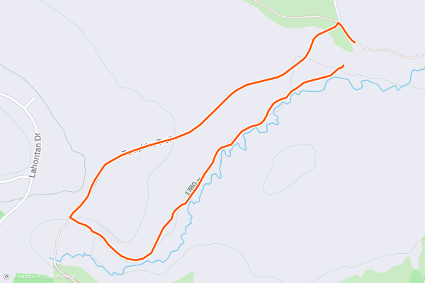
Martis Creek Trail
Martis Creek Wildlife Viewing area has about 15 miles of trails that weave around the neighborhoods and natural areas here. They are open to hikers and bikers, with the exception of Martis Creek Trail....
2


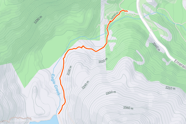
Eagle Falls Trail to Eagle Lake
Eagle Lake is an idyllic alpine lake nestled at the base of granite mountain peaks, and Eagle Falls is a beautiful cascade on the stream that rushes out of the lake....
3
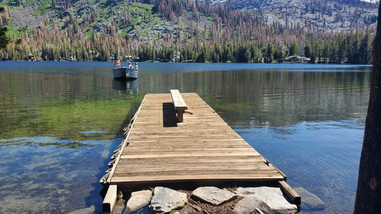


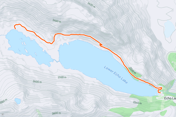
Echo Lakes Trail
The trail along Echo Lakes is a popular path shared by many types of hikers. It’s a casual afternoon stroll for some, the start of a longer journey into the wilderness for others, or merely a blip on the map for those hiking long distance on the Tahoe Rim Trail or Pacific Crest Trail....
4


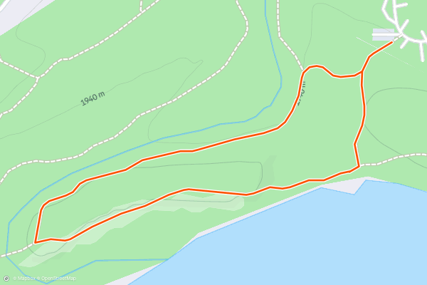
Moraine Trail
This is a super short and easy loop that begins in Fallen Leaf Campground. It leads through shady old growth forest along the bank of Taylor Creek and the shore of Fallen Leaf Lake, on the lake’s moraine....
5


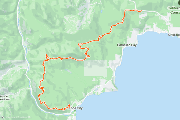
Tahoe Rim Trail: Tahoe City to Brockway Summit
The Tahoe Rim Trail encircles Lake Tahoe in a 165-mile loop. It roughly follows the crest of the mountains that drain into the lake, thereby providing a complete tour of this giant, crystal-blue water body from all angles....
6


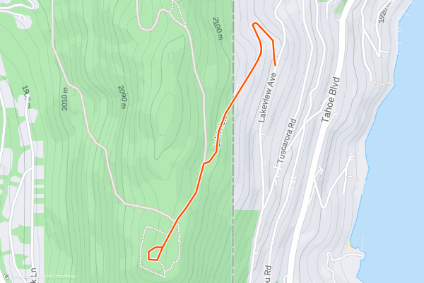
Stateline Lookout
This is an easy, family-friendly hike near Kings Beach and Crystal Bay on the North Shore of Lake Tahoe.
The Stateline Fire Lookout, so named because of its position approximately on the California-Nevada border, was originally built in 1936 for spotting wildfires....
7


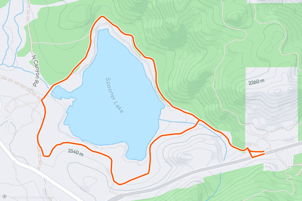
Spooner Lake Loop
Located just a short stroll from the highway at Spooner Summit is Spooner Lake, a lovely pond and marshy meadow surrounded by forest. Accessible at any time of year, it’s a place for wildflowers in the spring and summer, foliage in the fall, and snow in the winter....
8


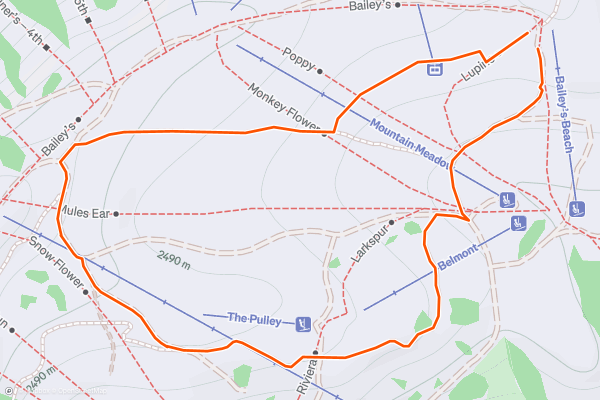
High Camp Meadow Loop
During the summer at Palisades Tahoe, High Camp is the place to be. There you’ll find dining with a view, a swimming pool and hot tub, shopping, outdoor games, and even skiing on winter’s leftover snow....
9
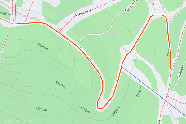
Lookout
Open both to hikers and bikers, "Lookout" lets you access some of the best views of the Pacific Crest anywhere on the mountain. It is mostly climbing but worth it at the top....
10


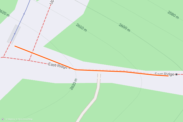
Monument
If you are looking to do some serious climbing with a reward at the end, "Monument" is for you. This is the highest point on the mountain and the trial is open to both hikers and bikers....
11

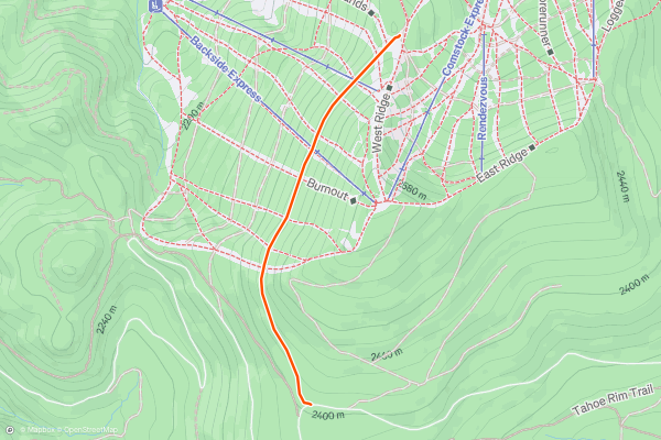
Watson Lake
"Watson Lake" trail is a dual use trail for hikers and bikers. If you are looking for a trail that really gives you a reward at the end, you'll love "Watson Lake" with a small secluded mountain lake at the end....
12


Rubicon Trail
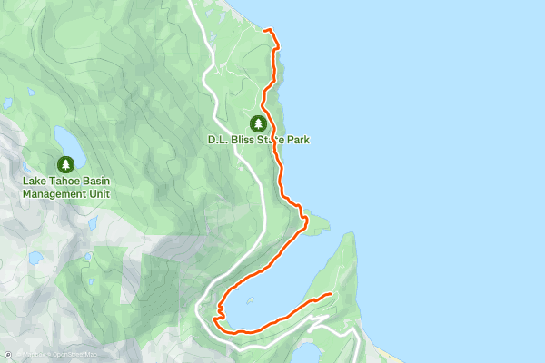
The Rubicon Trail is an eye-popping tour of Lake Tahoe’s shore, and the trail conveniently links D.L. Bliss and Emerald Bay state parks. You can hike any distance out and back along the trail, and start from any of three main trailheads, but the full-value hike is from one end to the other, doable as a one-way if you set a vehicle shuttle....
13


Glen Alpine Trail to Gilmore Lake
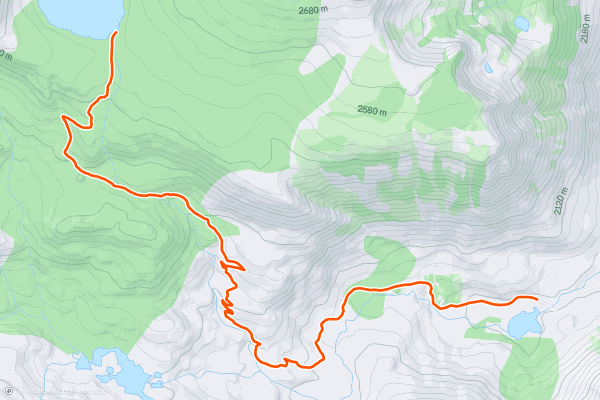
Glen Alpine Trailhead is the starting point for many rewarding hikes near South Lake Tahoe. The Glen Alpine Trail itself leads west into the Desolation Wilderness. It meets up with the Pacific Crest Trail and Tahoe Rim Trail, connecting with various spur trails to alpine lakes at the foot of rugged mountains....
14


Tunnel Creek Trail
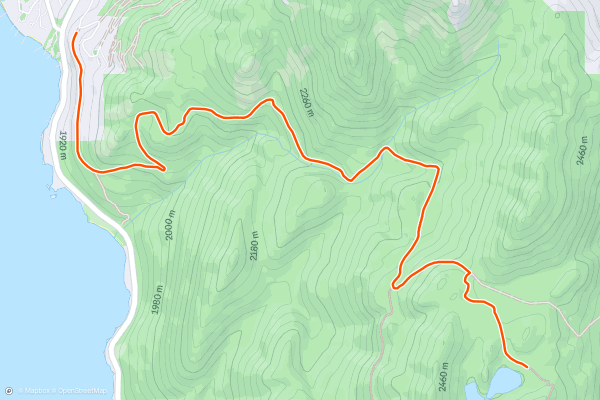
Tunnel Creek is a simple hike with big rewards in the form of views over Lake Tahoe, forest scenery, and access to other destinations higher in the mountains. Hike Tunnel Creek Trail as a destination all its own, or as part of the journey to the Flume Trail, Twin Lakes, or the Tahoe Rim Trail....
15



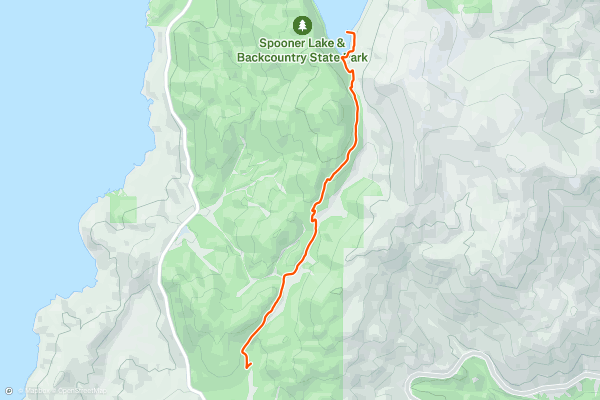
Marlette Lake Trail
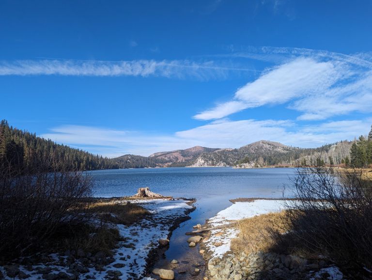
This trail leads gently upward through the greenery of North Canyon to Marlette Lake. The lake is, in fact, a reservoir where a natural pond was made bigger by an earthen dam, built to supply water to a log flume during the late 1800s....
16


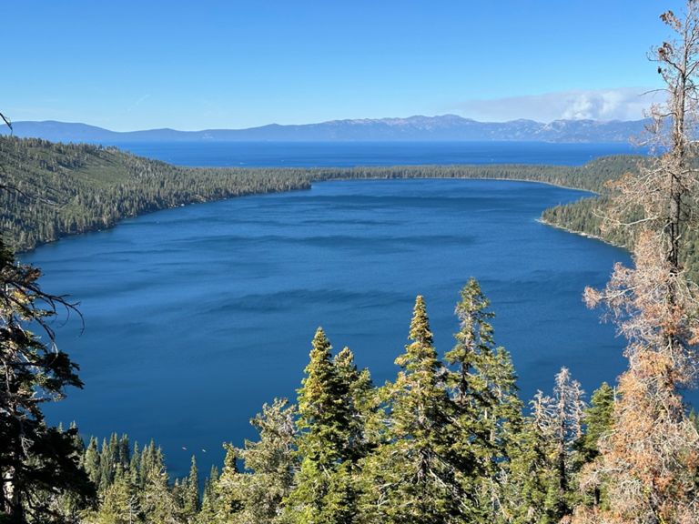

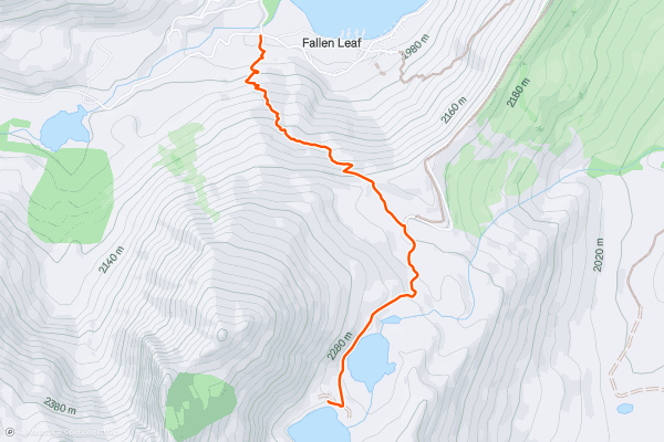
Angora Lakes Trail
The Angora Lakes are a pair of calm alpine lakes tucked at the foot of steep, craggy mountains. The Angora Lakes Resort is located here, with rustic cabins for overnight stays or amenities for a casual day trip....
17
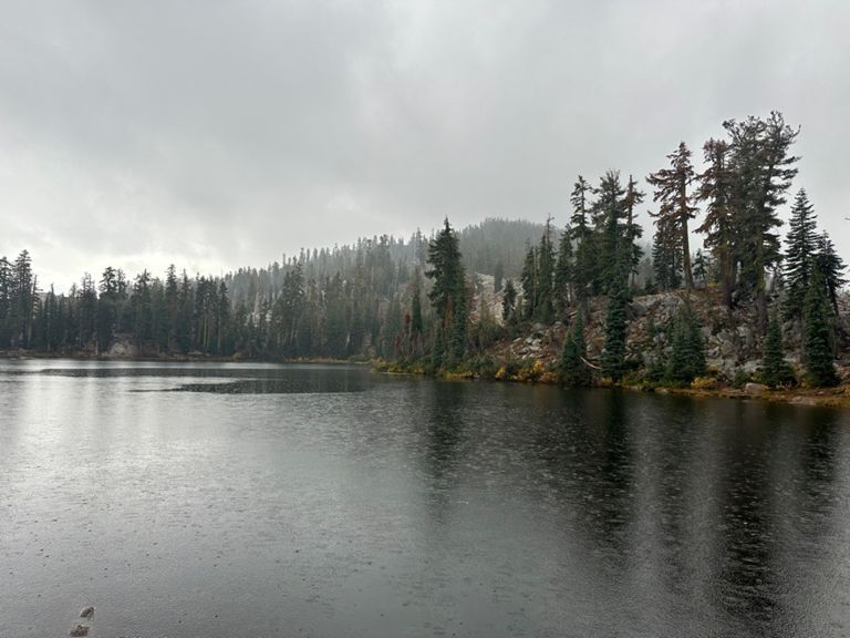


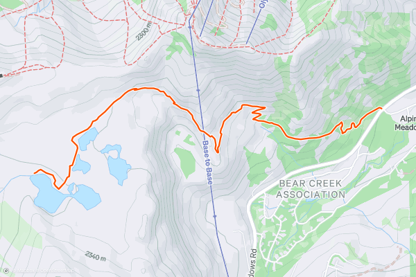
Five Lakes Trail
Many come to Alpine Meadows in the winter to ski, but in the summer another inviting destination thaws from beneath the snowpack. This is Five Lakes, a collection of pure meltwater that pools high in the mountains....
18


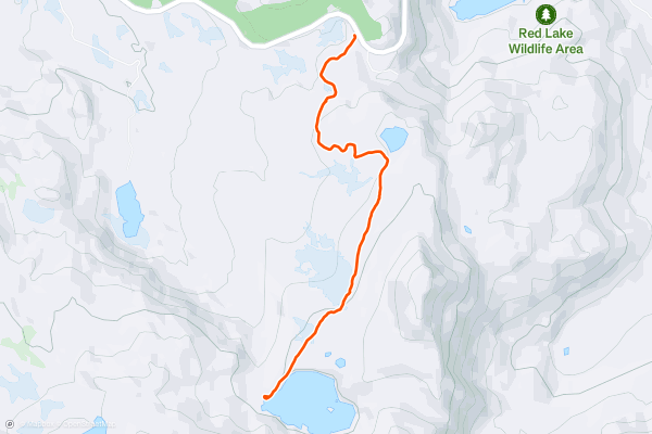
Winnemucca Lake Wildflower Hike
Winnemucca Lake is one of many alpine lakes in the Sierra Nevada around Carson Pass, and wildflowers fringe most of them as the snow melts. This one happens to have an especially brilliant display of color near its shore, however, and it can be reached by an especially scenic, moderate hike....
19
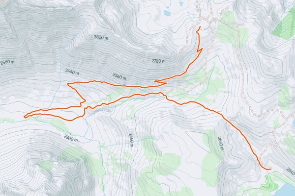
Summit City Canyon
Summit City was a boom-and-bust gold and silver mine established in the 1860s. A few families lived in the canyon now named after their town, tucked high into the mountains, and hoped to strike it rich....
20


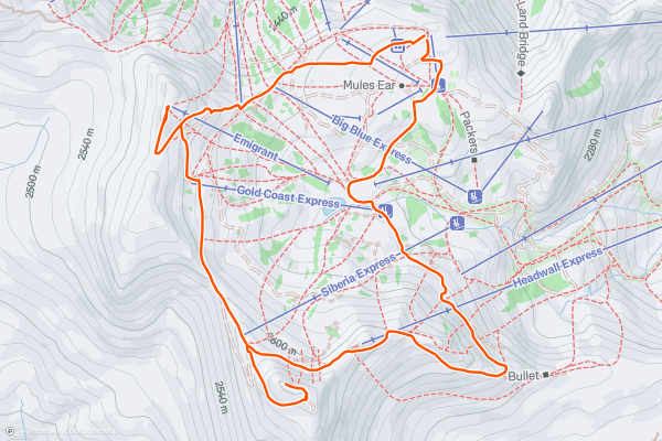
Squaw Peak and Emigrant Peak Loop
Riding the tram up to High Camp, you’ll gaze over many rocky outcrops of Palisades Tahoe, and at craggy peaks rising on every side. The tram unloads at 8,200 feet elevation, but the tallest summits remain much higher....
Page 1 of 2
Strava 上 远足路径 的热门区域
- Acadia National Park
- Alabama
- Alaska
- Albuquerque
- Alyeska
- Angeles National Forest
- Arizona
- Arkansas
- Austin, TX
- Bay Area
- Bend
- Big Sky
- Blue Mountain Ski Area
- Boston
- Boulder, CO
- Brevard
- Bridger Bowl
- Buena Vista
- California
- Cape Cod
- Colorado
- Connecticut
- Dahlonega
- Downieville
- Ellijay
- Flagstaff
- Florida
- Georgia
- Glacier National Park (USA)
- Grand Teton National Park
- Great Smoky Mountains National Park, TN
- Hawaii
- Hurricane
- Hyalite
- Idaho
- Illinois
- Indiana
- Kansas
- Kentucky
- Lake Tahoe
- Las Vegas, NV
- Los Angeles, CA
- Maine
- Mammoth Mountain
- Marin County
- Maryland
- Massachusetts
- Maui, HI
- Michigan
- Minnesota
- Missouri
- Moab
- Montana
- Mount Rainier National Park
- Mt. Rainier National Park, WA
- Nederland
- Nevada
- New Hampshire
- New Jersey
- New Mexico
- New York
- New York, NY
- North Bridgers
- North Carolina
- North Dakota
- Oakridge
- Ohio
- Oklahoma
- Oregon
- Park City and Deer Valley
- Pennsylvania
- Phoenix, AZ
- Placitas
- Portland, OR
- Roanoke
- Salida
- Salt Lake City, UT
- San Diego, CA
- San Francisco, CA
- Santa Fe, NM
- Santa Monica Mountains
- Seattle, WA
- Sedona, AZ
- Sisters
- South Carolina
- South Dakota
- South Lake Tahoe, CA
- Stowe
- Sugarbush
- Sun Valley
- Taos
- Telluride
- Tennessee
- Texas
- Timberline Lodge Summer
- Utah
- Vermont
- Virginia
- Washington
- West Virginia
- Wind River Range
- Winter Park
- Wisconsin
- Wyoming
- Yellowstone National Park
- Yosemite National Park, CA
- Zion National Park, UT