
De beste Hikingpaden in Flagstaff
Ontdek HikingpadenTop 12 hikingpaden in Flagstaff
1


Red Mountain Trail
Red Mountain is one of the best short hikes near Flagstaff and one everyone in the family can enjoy. The trail begins by gently meandering through a hard-packed wash, then snakes its way through a series of unique hoodoos and along a sheer cliff face....
2


Wupatki Pueblo Trail
The Wupatki Pueblo is one of the prime destinations to visit within the greater Wupatki National Monument. Just behind the main visitor center, you can enjoy an easy stroll to a 900-year-old ancestral site with more than 100 rooms and even a ball court....
3


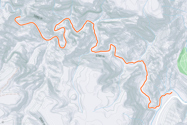
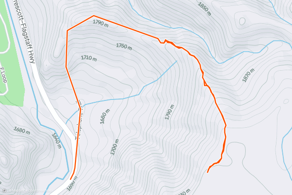
Fatman's Loop Trail
Fatman's Loop offers a relaxing walk along the base of Elden Mountain, where you will enjoy unique rock formations, diverse plant life, and panoramic views of Flagstaff and the surrounding suburbs....
4


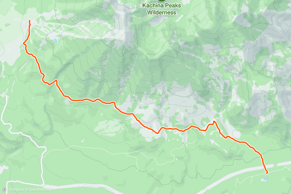
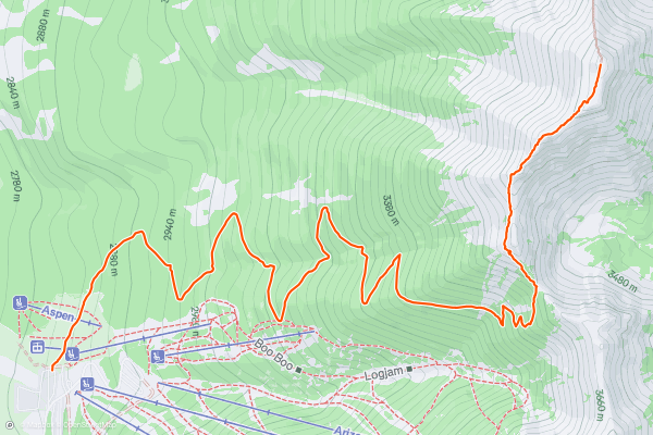
Kachina Trail
Considered one of the more popular trails near Flagstaff according to the USFS, the Kachina Trail tours aspen groves, dramatic cliffs, rolling meadows, and even offers impressive views of Flagstaff to the south....
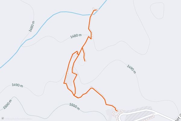
5
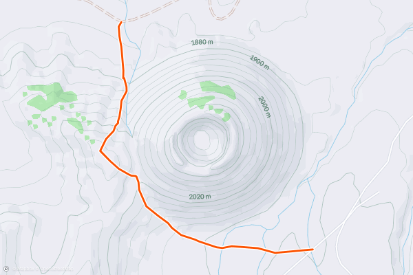
S P Crater
S P Crater is one of the more unique and recognizable volcanic cinder cones in northern Arizona. Described by [this source](https://en.wikipedia.org/wiki/S_P_Crater) as "a striking feature on the local landscape with a well-defined lava flow that extends for 4....
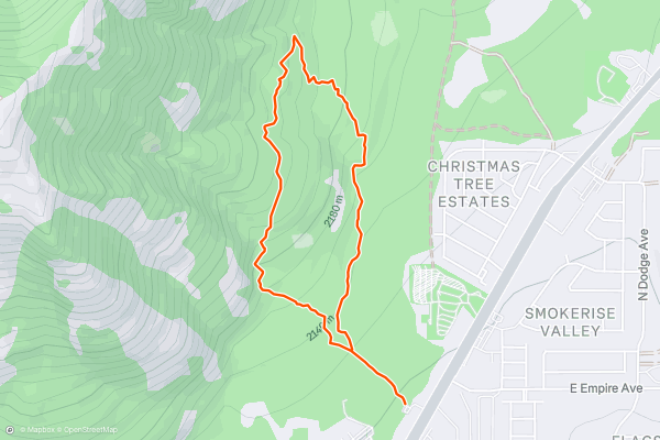
6


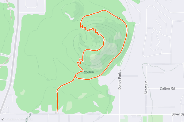
Old Caves Crater
Part of the greater-San Francisco volcanic field, the Old Caves Crater Trail wanders along the base of an ancient cinder cone volcano just moments north of Flagstaff. It's an excellent option to explore the region's unique geology, and the trail has something to offer for everyone....
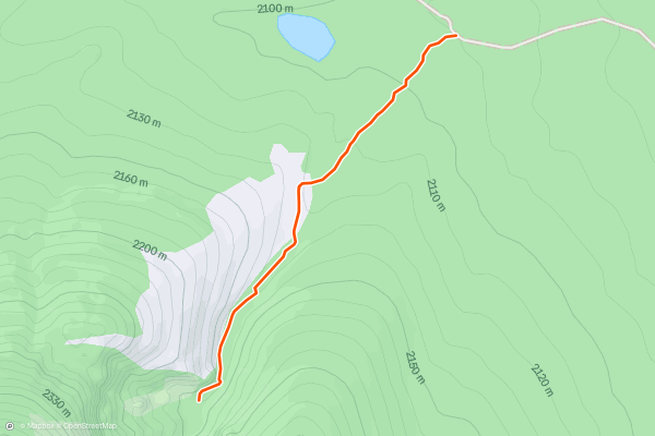
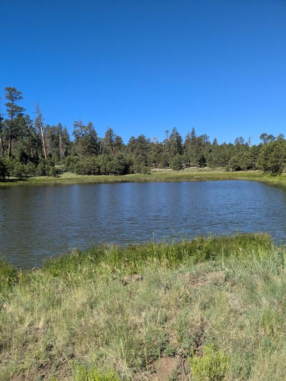
7


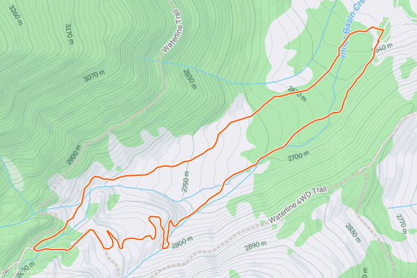
Lockett Meadow: Inner Basin Loop
The Inner Basin Loop is a prime family-friendly hike from Lockett Meadow Campground that showcases the area's volcanic origins and "cataclysmic heritage," the USFS notes. Just over 3.5-miles, this circuit tours a shadowy forest and a unique ecosystem dominated by pine and aspen, which is especially beautiful as the aspens transition to gold in the early fall....
8


West Fork Trail of Oak Creek
The West Fork Trail of Oak Creek is well-removed from the city center of Sedona, yet many people still regard it as one of the best hikes and trail runs in the region!
This route follows the path of the creek, which "flows through a deep, forested canyon, quite narrow in places, with many pretty eroded rock formations and plentiful wildlife," according to [AmerianSouthwest....
9


Humphreys Peak
Humphreys Peak is the highest point on a mountain called the San Francisco Peaks in Northern Arizona. This ancient volcano makes the highpoint of the state, rising to 12,637 feet above sea level....
10


Kendrick Peak
As the 11th or 12th highest peak in Arizona (depending on the source), this route to the summit of Kendrick Peak awards epic views, opportunities to see elk and mule deer, and a fire lookout tower atop the 10,400-foot summit....
11


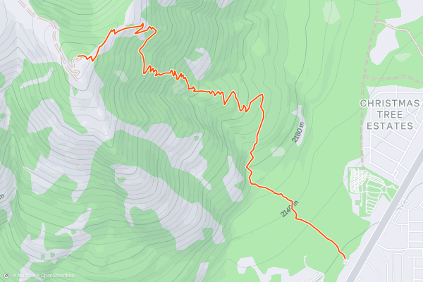
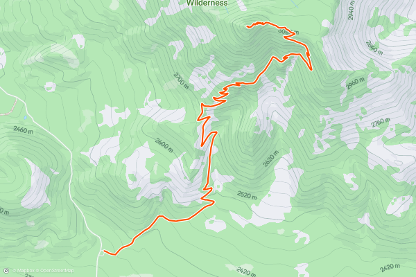
Mount Elden Lookout Trail
Towering 2,300 feet above Flagstaff, Mount Elden is one of the classic day hikes near town to enjoy epic mountaintop views. What starts as an easy stroll from the trailhead quickly transitions into rocky, steep slopes and countless switchbacks that lead to the 9,300-foot summit....
12

Telephone Trail
The first indication that this is a different sort of Sedona hike is the complete lack of a trailhead. The access to the trail is about 500 feet north of a wide spot along the east side of Oak Creek Canyon road, which is where to park....
Topregio's voor hikingpaden op Strava
- Acadia National Park
- Alabama
- Alaska
- Albuquerque
- Alyeska
- Angeles National Forest
- Arizona
- Arkansas
- Austin, TX
- Bay Area
- Bend
- Big Sky
- Blue Mountain Ski Area
- Boston
- Boulder, CO
- Brevard
- Bridger Bowl
- Buena Vista
- California
- Cape Cod
- Colorado
- Connecticut
- Dahlonega
- Downieville
- Ellijay
- Flagstaff
- Florida
- Georgia
- Glacier National Park (USA)
- Grand Teton National Park
- Great Smoky Mountains National Park, TN
- Hawaii
- Hurricane
- Hyalite
- Idaho
- Illinois
- Indiana
- Kansas
- Kentucky
- Lake Tahoe
- Las Vegas, NV
- Los Angeles, CA
- Maine
- Mammoth Mountain
- Marin County
- Maryland
- Massachusetts
- Maui, HI
- Michigan
- Minnesota
- Missouri
- Moab
- Montana
- Mount Rainier National Park
- Mt. Rainier National Park, WA
- Nederland
- Nevada
- New Hampshire
- New Jersey
- New Mexico
- New York
- New York, NY
- North Bridgers
- North Carolina
- North Dakota
- Oakridge
- Ohio
- Oklahoma
- Oregon
- Park City and Deer Valley
- Pennsylvania
- Phoenix, AZ
- Placitas
- Portland, OR
- Roanoke
- Salida
- Salt Lake City, UT
- San Diego, CA
- San Francisco, CA
- Santa Fe, NM
- Santa Monica Mountains
- Seattle, WA
- Sedona, AZ
- Sisters
- South Carolina
- South Dakota
- South Lake Tahoe, CA
- Stowe
- Sugarbush
- Sun Valley
- Taos
- Telluride
- Tennessee
- Texas
- Timberline Lodge Summer
- Utah
- Vermont
- Virginia
- Washington
- West Virginia
- Wind River Range
- Winter Park
- Wisconsin
- Wyoming
- Yellowstone National Park
- Yosemite National Park, CA
- Zion National Park, UT