Les meilleurs Chemins de randonnée à Saas Fee
Explorer les Chemins de randonnéeWith pistes ranging up to 3,600m you can be sure of snow. Lower slopes are covered in snow right up until the end of the season. There is great off piste opportunities here in the Saas Valley, with high altitude glacial routes to lower tree runs with some great powder.
3 meilleurs chemins de randonnée à Saas Fee
Page 1 of 1
1


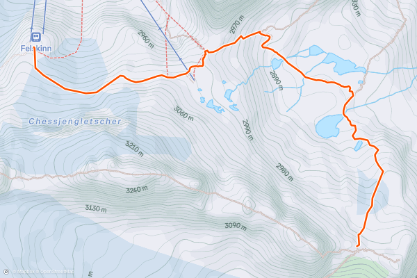
Approach to the Britannia Hut
This is a very short hut approach and can easily be done by taking the final lift of the day up to the Felskinn station from Saas Fee. Even if you only leave Felskinn at 4pm, you'll have plenty of time to make it to the hut, check in and be ready for dinner....
2


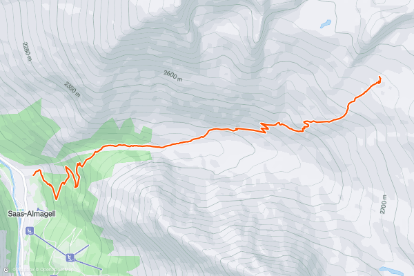
Approach to the Almageller Hut
Although it takes in about 1200 metres of virtual ascent, this hike never feels too strenuous - it's generally quite mellow in angle and enjoys fabulous views throughout which serve as a good distraction from your exertions....
3


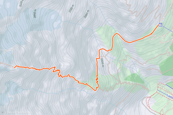
Approach to the Mischabel Hut
This is a very steep approach to a large hut, set high on the E ridge of the Lenzspitze. It is a comfortable hut and has great views to the Weissmies, the Lagginhorn and Fletschhorn....
Page 1 of 1
Meilleures régions pour les chemins de randonnée sur Strava
- Adelboden - Lenk
- Arosa and Lenzerheide
- Balme
- Bern
- Bernese Oberland
- Engelberg
- Genève
- Glarus
- Graubünden
- Grindelwald, Wengen and Mürren
- Kleine Scheidegg/Männlichen
- Meiringen-Hasliberg
- Mont Noble
- Mythenregion
- Obwalden
- Portes du Soleil
- Saas Fee
- Sankt Gallen
- Schwyz
- The Mischabel Range
- Ticino
- Uri
- Valais
- Vaud
- Verbier
- Zermatt - Breuil-Cervinia
- Zürich