
The Best Hiking Trails in Valais
Explore Hiking TrailsTop 40 hiking trails in Valais
Page 1 of 2
1


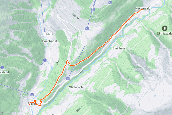
Niederwald to Fiesch
Hike from Niederwald train station up through a series of alpine meadows and a pretty woodland. The path runs along the Fiesch valley, taking you past the St. Anna chapel in the village of Fürgangen before heading on to Fiesch....
2

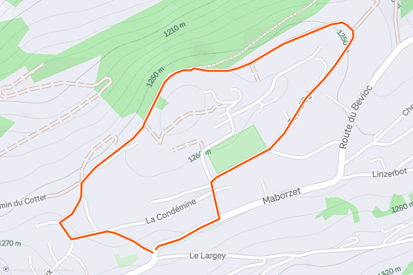
Tour d'Ogier
An easy walk, starting at the church, through the old part of the village and then around the outside of the village on a quiet and wide track that has excellent views of the valley below....
3

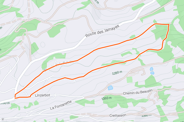
Chemin des Plans Praz
More of a short stroll than a hike. This is a great option for hot days or families with young children (pushchair friendly). The path is quiet and picturesque through the forest, past old farm houses and with plenty of wild strawberries and blueberries to pick along the way (July - September)....
4


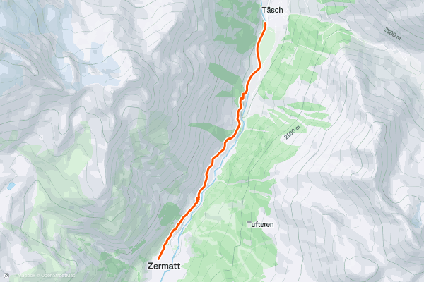
Bahnweg Täsch - Zermatt
A gentle walk up from the village just north of Zermatt; Täsch. The walk meanders a little, with nothing too steep, through the forest to the right of the train line as it heads up to Zermatt, and pops out onto the local sheep and goat pasture land affording the first views of Zermatt....
5


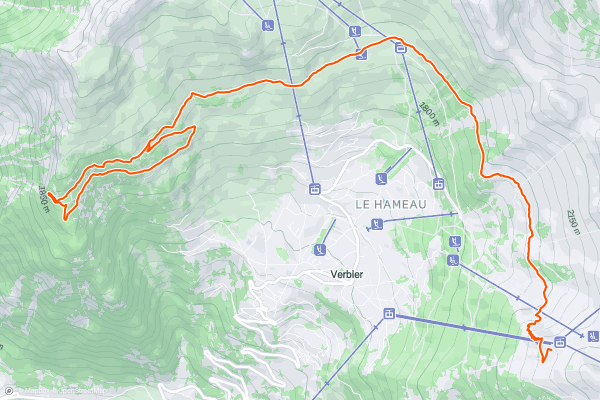
Bisse du Levron
When arriving at the mid lift station of Ruinettes walk down to the right on the road, past the Ice Cube cafe and you will see the start of the route on your right hand side....
6


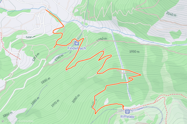
Riffelalp - Zermatt (Arvenweg)
With a seemingly unending number of bends in the path, and a couple of scrambles, this is a beautiful walk, although watch where you are going; there are many deer and chamois that roam here....
7


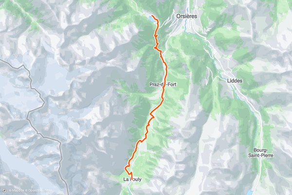
Tour du Mont Blanc: La Fouly to Champex
From La Fouly, follow a good path north as it runs parallel to the river which runs down the heart of the valley. The path passes back and forth from one side of the river to another and passes through a series of charming villages en route....
8


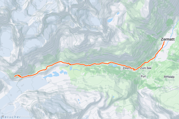
Haute Route Glacier Trek Day 8 - Schönbiel Hut to Zermatt
After all that's gone before it, today feels very easy, but it's still over 10 kilometres and entails just over 1000 metres of descent so don't leave it too late to get away from the Schönbiel hut....
9


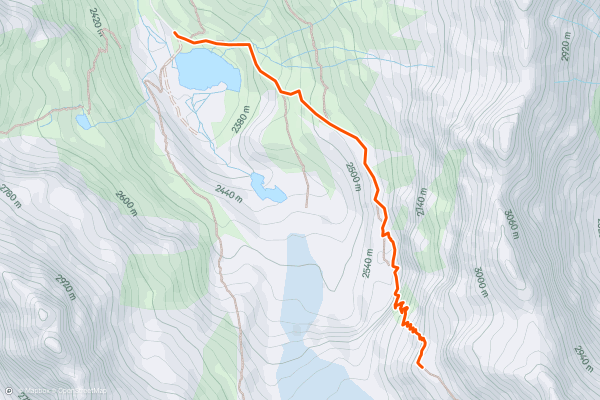
Approach to the Cabane de Moiry
In a strong field, the Cabane de Moiry might just be the best hut in Switzerland for passing a lazy afternoon. It is beautifully situated and in 2008 the hut owners made the most of its location by adding a huge, glass-fronted extension to the hut....
10


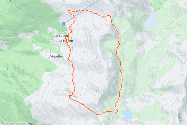
Le Lac du Louche
Drive up and park you car at the La Louere Alpage. You can also walk from the village if you want to make the route longer or leave your car at home....
11


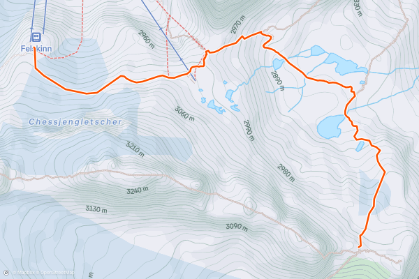
Approach to the Britannia Hut
This is a very short hut approach and can easily be done by taking the final lift of the day up to the Felskinn station from Saas Fee. Even if you only leave Felskinn at 4pm, you'll have plenty of time to make it to the hut, check in and be ready for dinner....
12


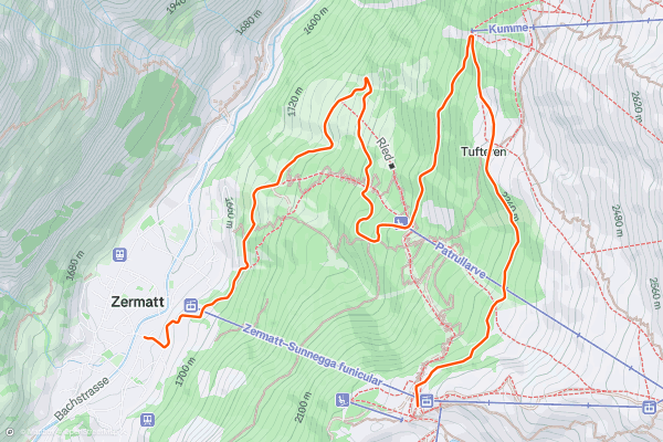
Sunnegga - Tuftern - Zermatt (Waldweg)
The start of the walk you will probably be sharing with a few farm vehicles and downhill bikers but for that the route is easy underfoot and a lovely way to spend a relaxed day without too much routefinding....
13


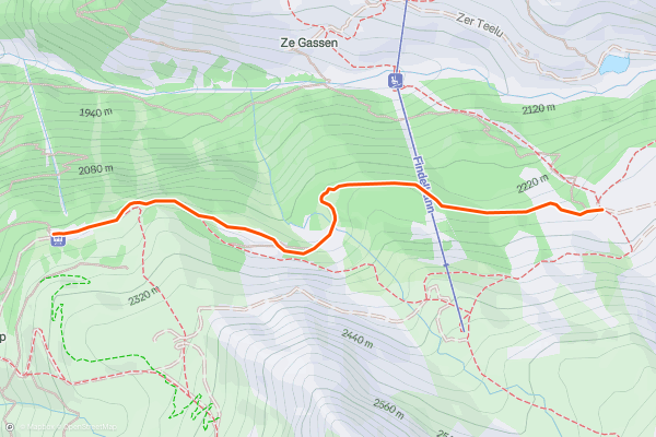
Riffelalp - Sunnegga (Naturweg)
A walk that takes in lakes, restaurants and valleys. Plan in enough stops so you can take in Leisee, and Grünsee on the other side of the valley, and slightly to the right....
14


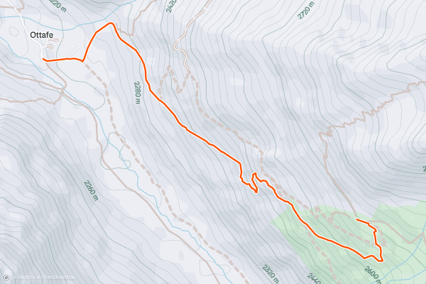
Approach to Täsch Hut
If you can afford to stay in the hut, then you may well be able to afford the taxi from Täsch to Täschalp, to the summer hamlet of Ottafe at 2190m....
15


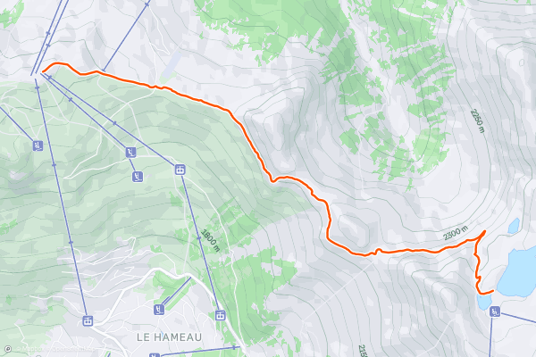
Savoleyeres - Lac des Vaux - Savoleyeres
When leaving the lift station at Savoleyers you have a spectacular view over to the sion valley and over to Verbier. The path then descends 180 meters to the restaurant of Croix de coeur, from here on out you start to gain in elevation and walk just below the ridgeline of Tete des Etablons, High among the avalanche barriers you continue to Col des mines....
16


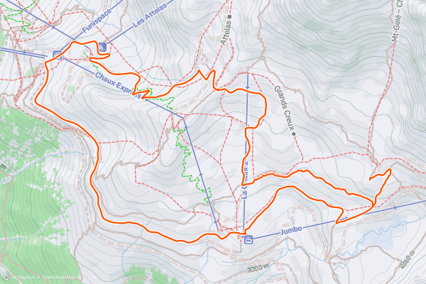
Ruinettes-La Chaux-Cabane Mont Fort-Ruinettes
This easy walk from Runinettes to Cabin Mont Fort and back takes you across the winter ski slopes of La Chaux with great views of the Petit Combin, Grand Combin, Bec Des Rosses, and Mont Fort....
17


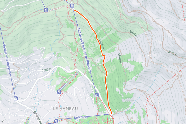
Carrefour - Ruinettes
An enjoyable walk ascending almost 500 metres, but the majority of the walk is flat. Taking in the views of Verbier from Carrefour you take the road (which is only drivable in summer) towards Les Plannards and the restaurant Le Marmotte....
18


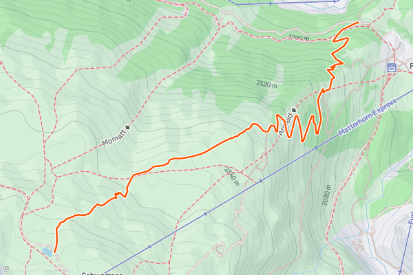
Furi - Schwarzsee (Larch Walk)
19


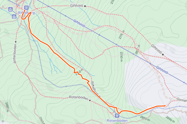
Riffelberg - Gornergrat (Sonnenweg)
Many pictures of the Matterhorn have been taken from the Riffelsee lake, especially at sunrise, and it is worth stopping here for the view. The scree-style rock on some of the hills on the way up can be a little loose, especially when damp....
20


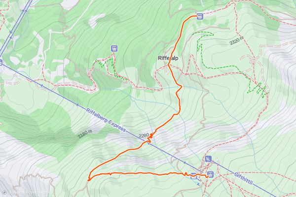
Riffelberg - Riffelalp (Mark Twain)
This route can be a little wet underfoot depending on how wide the streams are when you are crossing, so make sure you have sturdy footwear. Mark Twain was very fond of this walk and spent some time at Riffelberg admiring the views....
Page 1 of 2
Top regions for hiking trails on Strava
- Adelboden - Lenk
- Arosa and Lenzerheide
- Balme
- Bern
- Bernese Oberland
- Engelberg
- Genève
- Glarus
- Graubünden
- Grindelwald, Wengen and Mürren
- Kleine Scheidegg/Männlichen
- Meiringen-Hasliberg
- Mont Noble
- Mythenregion
- Obwalden
- Portes du Soleil
- Saas Fee
- Sankt Gallen
- Schwyz
- The Mischabel Range
- Ticino
- Uri
- Valais
- Vaud
- Verbier
- Zermatt - Breuil-Cervinia
- Zürich