Jackson Hole で一番のトレイルランニングのルート
トレイルランニングのルートを探索Americas foremost resort!
Jackson Hole Mountain Resort is notorious for steep terrain and gorgeous scenery, the perfect stomping grounds to many of the world’s best freeskiers. Located in Teton Village, Wyoming, just south of the Grand Teton National Park, Jackson Hole is home to some of the most hair-raising slopes in America where steep fiends go to play. The ski area receives an average of 450 inches of snowfall each year and boasts a vertical of more than 4,000 feet. The resort may be known for having extreme terrain, but there are plenty of options for beginners and intermediates. Jackson Hole also has spectacular views of the Tetons and the surrounding valley and is consistently ranked as one of the best ski resorts in North America.
Jackson Hole における上位4件のトレイルランニングのルート
Page 1 of 1
1


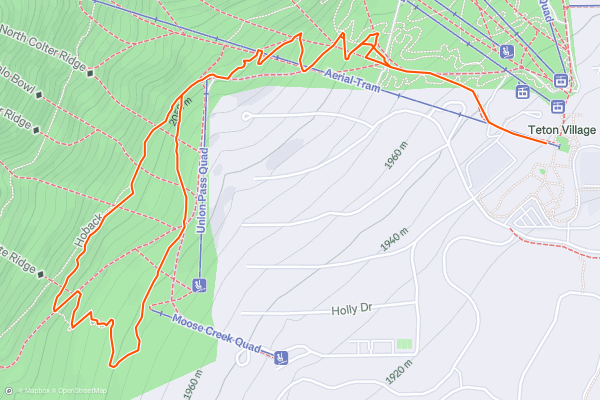
Lower Faces Loop
Jackson Hole Mountain Resort describes the Lower Faces Trail as a "quick and easy hike at lower elevation," one that is also quite popular among trail runners. With countless ways to access the loop, this is one of the best short trail runs around, especially if you're short on time....
2


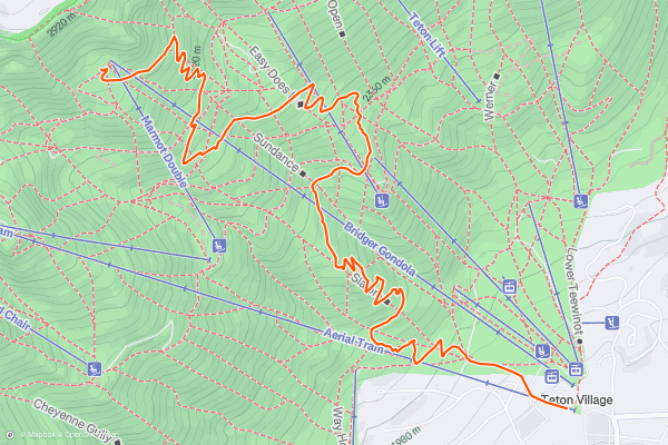
Wildflower Trail
A crowd favorite, the Wildflower Trail is a singletrack route to the top of Bridger Gondola that starts similar to the [Lower Faces](https://fatmap.com/routeid/434129/Lower_Faces_Loop/@47.6448579,-23.3126364,5639568.5062015,-90,0,0,normal) trail run. Enjoy incredible views of the valley plus an abundance of wildflowers that blanket the mountainside during the summer....
3


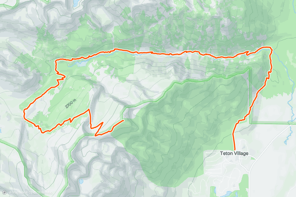
Granite Canyon via Rendezvous Mountain
While the [Lower Faces](https://fatmap.com/routeid/434129/Lower_Faces_Loop/@43.7335676,-110.8856855,11452.4443383,-90,0,2741.5326578,normal) loop should top the list if you're looking for a quick trail run, this may be the most epic route to begin and end in Jackson Hole Mountain Resort....
4


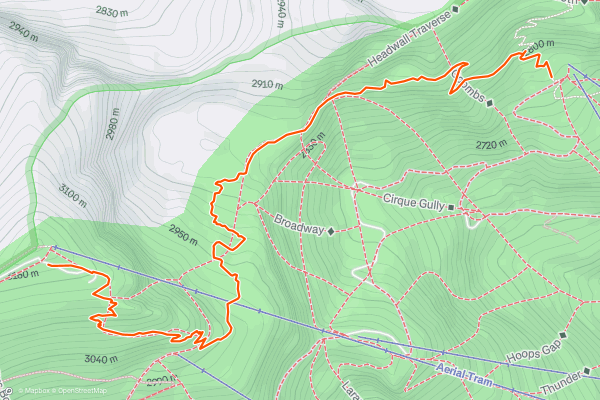
Cirque Trail
The Cirque Trail is the missing link between the [Wildflower Trail](https://fatmap.com/routeid/446124/Wildflower_Trail/@43.5953666,-110.8710362,36708.0247180,-89.3517805,-0.7048362,3033.4749793,normal) and the [Granite Canyon Tram Route](https://fatmap.com/routeid/446185/Granite_Canyon_via_Rendezvous_Mountain/@43.5865370,-110.8719119,11451.6824791,-58.6715501,-34.0647403,2703.4401977,normal). The trail connects the top of Bridger Gondola to the top of the Aerial Tram at the summit of Rendezvous Mountain and is runnable by itself, or great as a part of a larger loop....
Page 1 of 1
Stravaにおけるトレイルランニングのルートの人気地域
- Alaska
- Albuquerque
- Arizona
- Arkansas
- Bay Area
- Bend
- Big Sky
- Boston
- Brevard
- California
- Cape Cod
- Colorado
- Connecticut
- Dahlonega
- Downieville
- Ellijay
- Flagstaff
- Florida
- Georgia
- Grand Targhee
- Grand Teton National Park
- Hawaii
- Hyalite
- Idaho
- Jackson Hole
- Los Angeles, CA
- Maine
- Marin County
- Maryland
- Massachusetts
- Michigan
- Missouri
- Moab
- Montana
- Mount Rainier National Park
- Nevada
- New Hampshire
- New Mexico
- New York
- North Bridgers
- North Carolina
- Oakridge
- Ohio
- Oregon
- Park City and Deer Valley
- Pennsylvania
- Placitas
- Roanoke
- Salida
- Salt Lake City, UT
- San Francisco, CA
- Santa Monica Mountains
- Sedona, AZ
- South Carolina
- Sun Valley
- Taos
- Telluride
- Tennessee
- Teton Pass
- Texas
- Timberline Lodge Summer
- Utah
- Vermont
- Virginia
- Washington
- Wisconsin
- Wyoming
- Yellowstone National Park
- Yosemite National Park, CA