
Les meilleurs Itinéraires de trail à Colorado
Explorer les Itinéraires de trail116 meilleurs itinéraires de trail à Colorado
Page 1 of 6
1


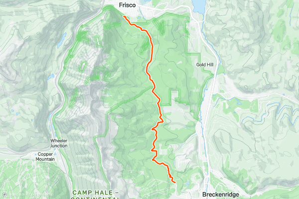
Peaks Trail
The Peaks Trail runs for 8 miles one-way between the towns of Breckenridge and Frisco. The trail "follows an old mining road from the 1800’s and has a section that runs alongside an aqueduct that was built by miners to funnel and sift water containing precious gold and silver,” according to Mark Grattan on BestOfBreck....
2


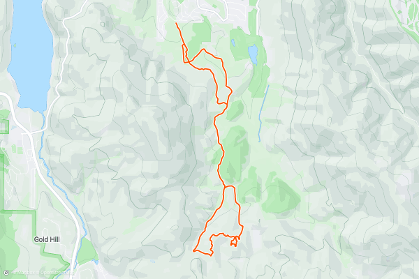
Soda Creek / Blair Witch Loop
If you want to head out on a trail run and take in the beautiful Summit County scenery, but you don’t want to run on any of the trails that quickly wrack up thousands of feet of elevation gain, then check out the Soda Creek area....
3


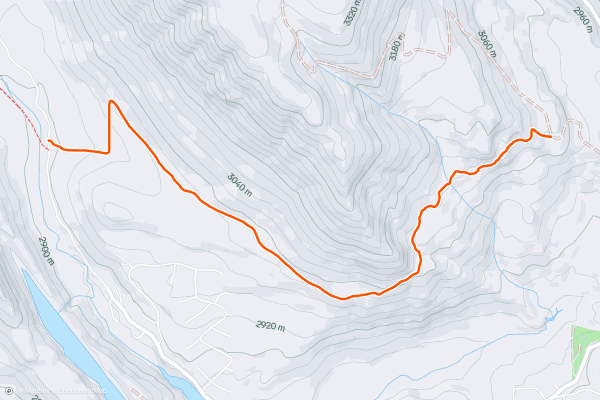
Snodgrass
This classic local route offers up smooth black dirt singletrack winding through a gorgeous aspen grove on the flanks of Snodgrass Mountain. Where the trail passes through meadows, gorgeous wildflowers provide a colorful carpet....
4


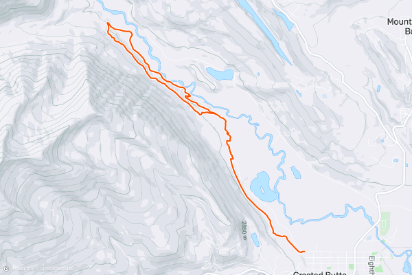
Lower Loop
Hanging out in Crested Butte and hankering for a quick trail run? Thanks to the convenient access to the Lower Loop trail, you can run directly from idyllic downtown Crested Butte directly onto beautiful, mostly flat singletrack....
5


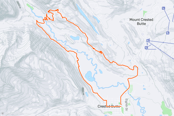
Lupine Loop
A quick run up the pavement from downtown Crested Butte brings you to the beginning of the Lupine Trail: a flowy, scenic singletrack benched high into a hillside overlooking the Slate River Valley and the town of Crested Butte....
6


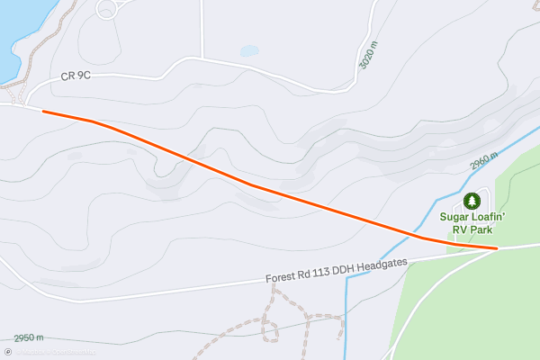
Leadville Trail 100 Private Property Bypass
This short section of road can be used to bypass around a section of private property used in the Leadville Trail 100 race course. The only time that the nearby section of private property can be accessed is during race day, so if you're running the course (or a part of the course) outside of race day, use this bypass instead....
7
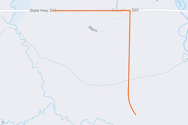
Leadville Trail 100 Private Property Bypass 2
This short section of road can be used to bypass around a section of private property used in the Leadville Trail 100 race course. The only time that the nearby section of private property can be accessed is during race day, so if you're running the course (or a part of the course) outside of race day, use this bypass instead....
8


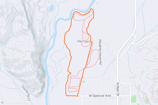
Van Tuyl Loop
The Van Tuyl Loop is one of the most easily-accessible greenspaces adjacent to the town of Gunnison. This wide gravel path creates a gorgeous 3-mile loop around Van Tuyl Ranch. The trail can be accessed from the marked trailhead or via several points on the southern edge of the loop....
9
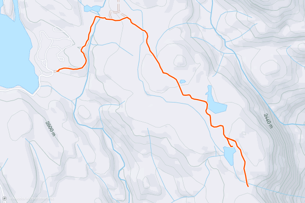
Forebay Lake
The run begins from the trailhead parking lot just outside of the Haviland Lake Campground. Instead of following the singletrack trails into the main Haviland Lake trail system, head around the gate and follow the gated dirt road to the east....
10


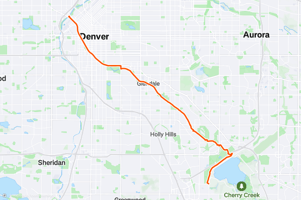
Cherry Creek Trail: Confluence Park to Cherry Creek State Park
Denver is centered around the confluence of two streams, Cherry Creek and the South Platte River. The urban trail along Cherry Creek makes a unique way to experience the city, by biking, walking, or running a corridor of greenery near many downtown highlights....
11


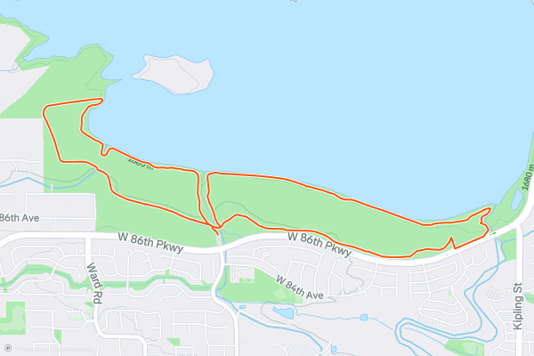
Standley Lake South Shore Trails
While Standley Lake isn't a well-known hotspot for hiking or trail running in the Denver Metro area, the network of singletrack along the lake's south shore still provides a fantastic outing in nature....
12


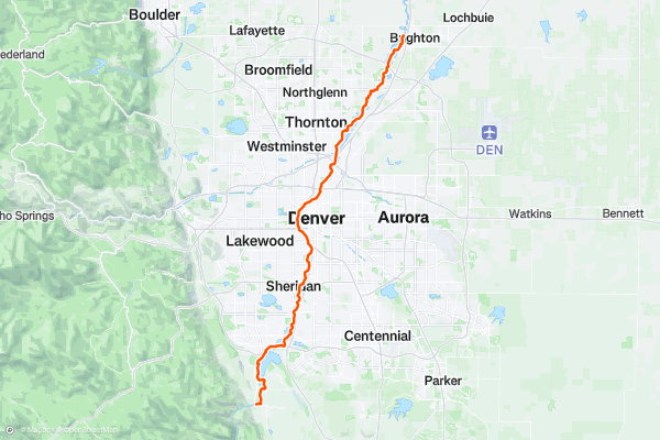
South Platte River Greenway
The South Platte River Greenway is one of the longest greenway paths in the Denver Metro Area. This 48-mile trail begins far to the north of the metro area and follows the South Platte River through the very heart of downtown Denver....
13


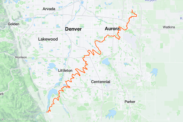
High Line Canal Trail
The High Line Canal was originally built in 1883 for agricultural irrigation, but in recent decades, one of the best recreation trails in Denver has been built along the banks of the canal....
14


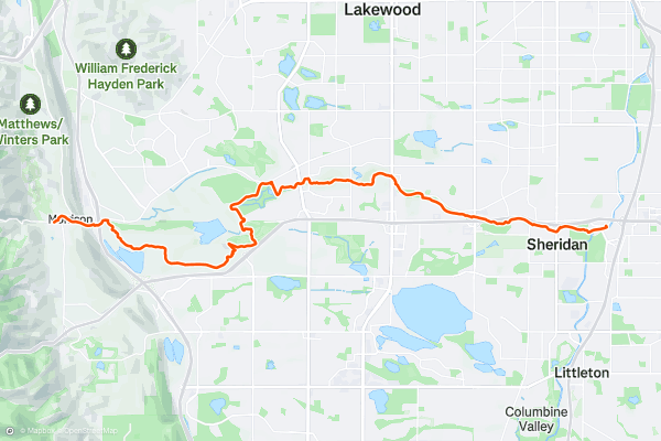
Bear Creek Trail
The Bear Creek Lake Park and Bear Creek Greenway is a pristine natural area located on the outskirts of Lakewood, butting up against the small hamlet of Morrison. This gorgeous nature preserve is home to the eponymous lake, along with some easy hiking trails and a beautiful greenway path....
15


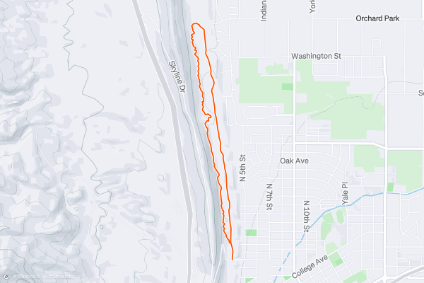
Graneros -> Greenhorn Loop
This short loop on the Graneros and Greenhorn Trails is quite easy and non-technical, but it still provides beautiful views and scenery from the lower Hogbacks area while being accessible directly from downtown Canon City!
The run, as mapped, begins from the Greenhorn trailhead on the south end of the loop, but there are multiple trailheads located along the western edge of Canon City that provide easy access to this loop....
16


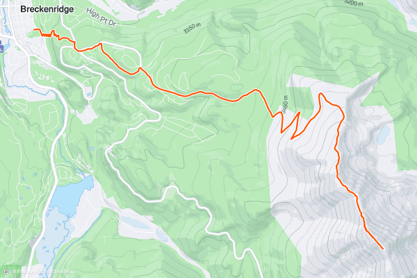
Bald Mountain Summit
Bald Mountain soars to an elevation of 13,690 feet, towering over the town of Breckenridge. The monolith provides an obvious objective for hikers and trail runners alike.
Most of the climb up the mountainside follows a gnarly 4WD road, which makes for quick forward progress while running....
17


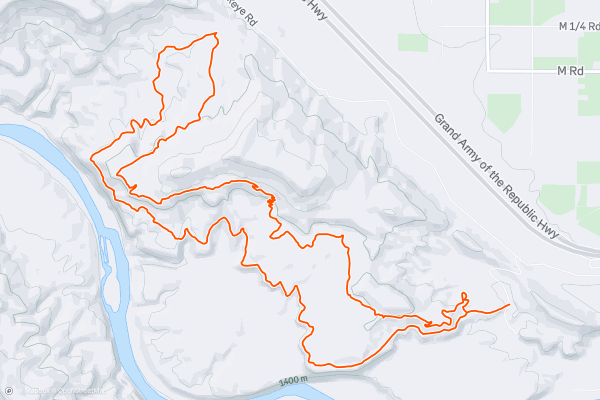
Mary's -> Wrangler's Loop
The Kokopelli Loops have long been popular with mountain bikers, with most of the trails having been built by mountain bikers, for mountain bikers. But as the popularity of trail running continues to increase, runners have begun flocking to these gorgeous singletrack trails—especially in the springtime, when the Rocky Mountains are still buried in snow....
18


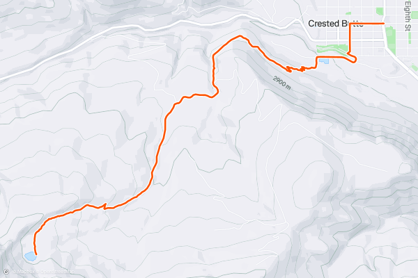
Green Lake Out-and-Back
Green Lake is one of two trails that’s directly accessible from downtown Crested Butte. But unlike the very mild [Lower Loop Trail](https://fatmap.com/routeid/211944/Lower_Loop/), this route is a relatively steep climb that requires fitness and preparation to complete....
19


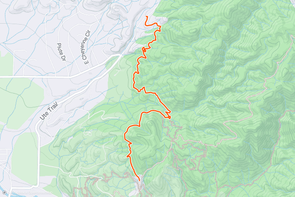
North Backbone
With a trailhead easily accessible off of CR 175, North Backbone offers a pleasant change of pace for trail runners in the Arkansas Hills. Instead of beginning from town and climbing up the front side of the hills like on every other run, you can start higher up the mountainside, accessing the trail system via a beautiful, rocky contour trail....
20


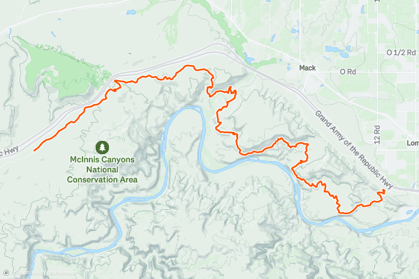
Desert RATS: Stage 1
Presented by [Gemini Adventures](https://geminiadventures.com/), the Desert RATS Kokopelli 150 is possibly the most epic adventure race in the west. As the longest-running stage race in North America, this week-long adventure is designed to test both mental and physical limits of even the most seasoned athletes....
Page 1 of 6
Meilleures régions pour les itinéraires de trail sur Strava
- Alaska
- Albuquerque
- Arizona
- Arkansas
- Bay Area
- Bend
- Big Sky
- Boston
- Brevard
- California
- Cape Cod
- Colorado
- Connecticut
- Dahlonega
- Downieville
- Ellijay
- Flagstaff
- Florida
- Georgia
- Grand Targhee
- Grand Teton National Park
- Hawaii
- Hyalite
- Idaho
- Jackson Hole
- Los Angeles, CA
- Maine
- Marin County
- Maryland
- Massachusetts
- Michigan
- Missouri
- Moab
- Montana
- Mount Rainier National Park
- Nevada
- New Hampshire
- New Mexico
- New York
- North Bridgers
- North Carolina
- Oakridge
- Ohio
- Oregon
- Park City and Deer Valley
- Pennsylvania
- Placitas
- Roanoke
- Salida
- Salt Lake City, UT
- San Francisco, CA
- Santa Monica Mountains
- Sedona, AZ
- South Carolina
- Sun Valley
- Taos
- Telluride
- Tennessee
- Teton Pass
- Texas
- Timberline Lodge Summer
- Utah
- Vermont
- Virginia
- Washington
- Wisconsin
- Wyoming
- Yellowstone National Park
- Yosemite National Park, CA