
Californiaで一番のトレイルランニングのルート
トレイルランニングのルートを探索Californiaにおける上位51件のトレイルランニングのルート
Page 1 of 3
1


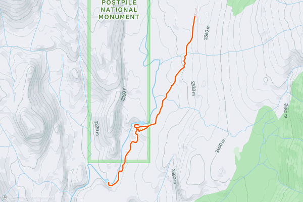
Devils Postpile to Upper and Lower Rainbow Falls
The route to Rainbow Falls follows a wide, extremely popular sandy trail. Despite being located in the John Muir Wilderness Area, this short trail is an ultra-popular tourist jaunt. When you reach the overlook for Upper Rainbow Falls, you’ll see why: Rainbow Falls is a stunning 101-foot-tall cascade in a rugged rock canyon....
2


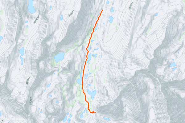
Little Lakes Valley Trail to Morgan Pass
"A hike of Little Lakes Valley via Mosquito Flat makes for a quintessential Eastern Sierra outdoor experience,” writes Drew Robinson [on TrailToPeak.com](https://trailtopeak.com/2018/11/13/hiking-little-lakes-valley-trail-gem-lakes-via-mosquito-flat-bishop-ca/). In addition to hiking, the mellow grade and stunning scenery makes this trail ideal for an easy, scenic trail run too!
This out-and-back route passes a plethora of alpine lakes with numerous options for additional side options to even _more_ lakes....
3


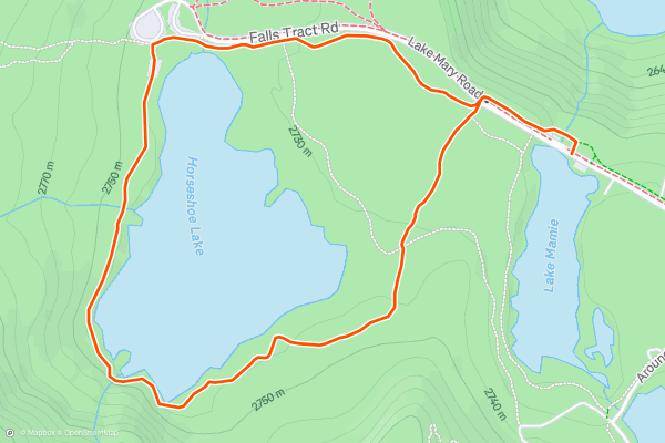
Horseshoe Lake Loop
The short loop run around Horseshoe Lake is one of the easiest and most-accessible trail runs in the Mammoth Lakes area. The Lakes Basin area, anchored by Lake Mary, is extremely popular with tourists, meaning that this easy trail is likely to be crowded....
4


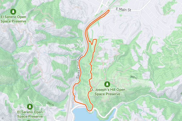
Jones Trail -> Los Gatos Creek Trail Loop
The Los Gatos Creek Trail is a lengthy paved greenway trail running through the San Jose metro area. However, the route shown here forms a more adventurous loop route by utilizing the Jones Trail....
5


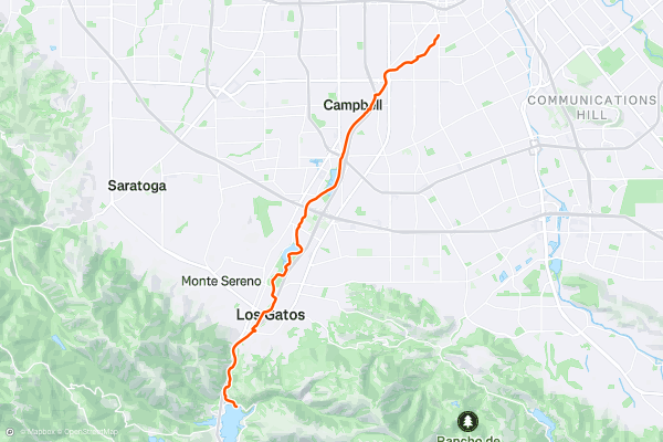
Los Gatos Creek Trail: Point-to-Point
The Los Gatos Creek Trail is a lengthy paved greenway trail running through the San Jose metro area. This trail is extremely popular with road cyclists (both recreationally and for commuting), but walkers/hikers, runners, skaters, and more all use this trail....
6


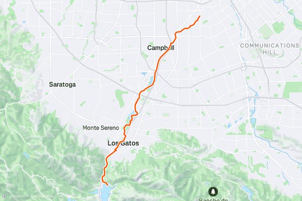
Los Gatos Creek Trail: Out-and-Back
The Los Gatos Creek Trail is a lengthy paved greenway trail running through the San Jose metro area. This trail is extremely popular with road cyclists (both recreationally and for commuting), but walkers/hikers, runners, skaters, and more all use this trail....
7


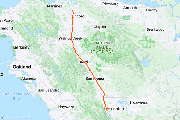
Iron Horse Trail
The Iron Horse Trail is a long-distance rails-to-trails route running from Mountain View to Pleasanton, California. This trail is extremely popular with road cyclists (both recreationally and for commuting), but walkers/hikers, runners, skaters, and more all use this trail....
8


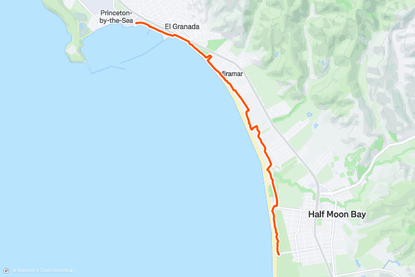
California Coastal Trail: Half Moon Bay State Beach
The California Coastal Trail is a stunning adventure that spans over 1200 miles along the Pacific coast. One of the most scenic sections of the trail is in Half Moon Bay State Beach, a four-mile stretch of protected beaches that offer diverse scenery and experiences for visitors of all ages and abilities....
9


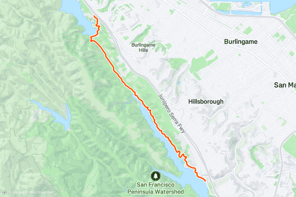
Sawyer Camp Trail
The Sawyer Camp Trail is a scenic and easy trail that follows the shoreline of Lower Crystal Springs Reservoir and San Andreas Lake in San Mateo County. This 6-mile paved trail is part of the Crystal Springs Regional Trail, and is popular for walking, running, biking, and birdwatching....
10


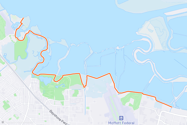
San Francisco Bay Trail: Sunnyvale to Sand Point
If you are looking for a long and flat hike, bike ride, or run with views of the bay and the mountains, the San Francisco Bay Trail: Sunnyvale to Sand Point is a great option....
11


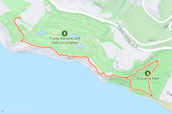
Ocean Trails Reserve
Ocean Trails Reserve is one of the most scenic places to trail run on the coast near LA. Its location in between Long Beach and Redondo Beach is convenient for afternoon exercise, and the natural scenery is hard to beat anywhere else in this area....
12


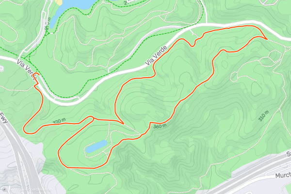
Middlecrest Trail Loop
Frank G. Bonelli Regional Park is an easily-accessible park that provides a variety of activities. You’ll find grassy picnic areas with sun and shade, playgrounds, a lake with a swim beach and kayak rentals, a campground, and hiking trails....
13


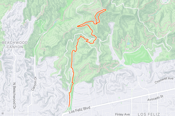
Ferndell Trail to the Mount Hollywood Summit
The flanks of Mount Hollywood are riddled with trails and old road grades, providing innumerable options for reaching the summit. The route shown here is one of the easiest and most direct paths to the top of the mountain....
14


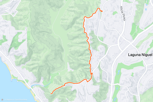
Aliso Summit Trail
The Aliso Summit Trail traverses an elevated ridgeline, providing stunning views of Orange County and the Pacific Ocean. The route culminates at Aliso Peak, which towers over the crashing surf and blue waters of the Pacific....
15
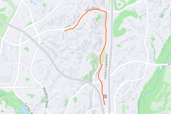
Oso Creek Trail: Out-and-Back
If you are looking for a pleasant and accessible trail in Laguna Niguel, California, you might want to check out the Oso Creek Multi-Use Trail. The trail is designed for multiple uses, such as hiking, biking, and equestrian....
16


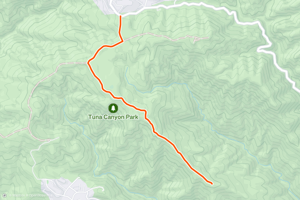
Tuna Canyon Budwood Motorway
For a dose of nature and a breath of fresh air in the hills above the Pacific Coast Highway, make the scenic side trip to Tuna Canyon Park. Its handful of trails roll along ridges that tumble down to the sea along the quiet stretch of coast between Santa Monica and Malibu....
17


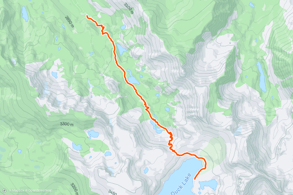
Duck Pass and Duck Lake
Running out-and-back to the top of Duck Pass, or choosing to carry on over the top to Duck Lake, is an ambitious route beginning in the popular Mary Lake area.
The run begins with a steep climb, “but don't let that stop you,” [says Becky from Riverside, CA](https://www....
18


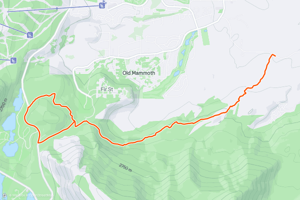
Mammoth Rock -> Panorama Lollipop
Mammoth Rock is one of the best trail runs that you can access directly from downtown Mammoth Lakes. While this trail might not look like much when arrive at the trailhead, after running through some dry sagebrush, the singletrack quickly begins climbing up the nearby mountainside....
19


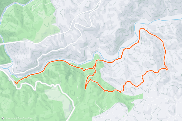
Quarry Trail Lollipop
The Quarry Trail Lollipop is a popular hike and trail run in the Auburn State Recreation Area that combines an old road grade with some singletrack trails. The old road grade roughly parallels the Middle Fork American River, providing beautiful views of the water and valley....
20


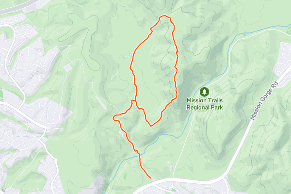
South Fortuna Mountain
The South Fortuna Mountain Trail is a 5.3-mile trail run in Mission Trails Regional Park that takes you to the summit of South Fortuna Mountain, one of the five peaks in the park....
Page 1 of 3
Stravaにおけるトレイルランニングのルートの人気地域
- Alaska
- Albuquerque
- Arizona
- Arkansas
- Bay Area
- Bend
- Big Sky
- Boston
- Brevard
- California
- Cape Cod
- Colorado
- Connecticut
- Dahlonega
- Downieville
- Ellijay
- Flagstaff
- Florida
- Georgia
- Grand Targhee
- Grand Teton National Park
- Hawaii
- Hyalite
- Idaho
- Jackson Hole
- Los Angeles, CA
- Maine
- Marin County
- Maryland
- Massachusetts
- Michigan
- Missouri
- Moab
- Montana
- Mount Rainier National Park
- Nevada
- New Hampshire
- New Mexico
- New York
- North Bridgers
- North Carolina
- Oakridge
- Ohio
- Oregon
- Park City and Deer Valley
- Pennsylvania
- Placitas
- Roanoke
- Salida
- Salt Lake City, UT
- San Francisco, CA
- Santa Monica Mountains
- Sedona, AZ
- South Carolina
- Sun Valley
- Taos
- Telluride
- Tennessee
- Teton Pass
- Texas
- Timberline Lodge Summer
- Utah
- Vermont
- Virginia
- Washington
- Wisconsin
- Wyoming
- Yellowstone National Park
- Yosemite National Park, CA