
As melhores Rotas de trail run neste local: Bay Area
Explorar Rotas de trail run11 principais rotas de trail run neste local: Bay Area
Page 1 of 1
1


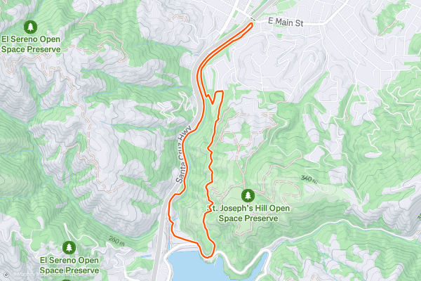
Jones Trail -> Los Gatos Creek Trail Loop
The Los Gatos Creek Trail is a lengthy paved greenway trail running through the San Jose metro area. However, the route shown here forms a more adventurous loop route by utilizing the Jones Trail....
2


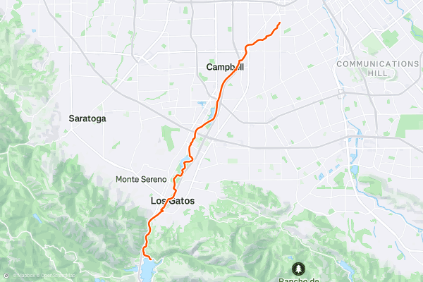
Los Gatos Creek Trail: Point-to-Point
The Los Gatos Creek Trail is a lengthy paved greenway trail running through the San Jose metro area. This trail is extremely popular with road cyclists (both recreationally and for commuting), but walkers/hikers, runners, skaters, and more all use this trail....
3


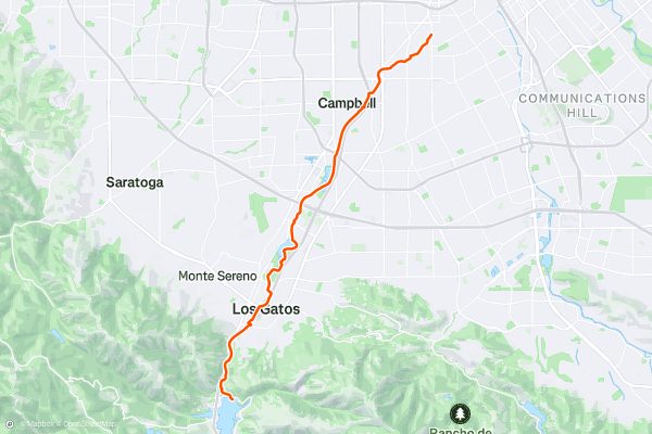
Los Gatos Creek Trail: Out-and-Back
The Los Gatos Creek Trail is a lengthy paved greenway trail running through the San Jose metro area. This trail is extremely popular with road cyclists (both recreationally and for commuting), but walkers/hikers, runners, skaters, and more all use this trail....
4


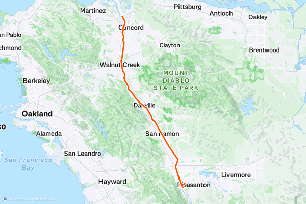
Iron Horse Trail
The Iron Horse Trail is a long-distance rails-to-trails route running from Mountain View to Pleasanton, California. This trail is extremely popular with road cyclists (both recreationally and for commuting), but walkers/hikers, runners, skaters, and more all use this trail....
5


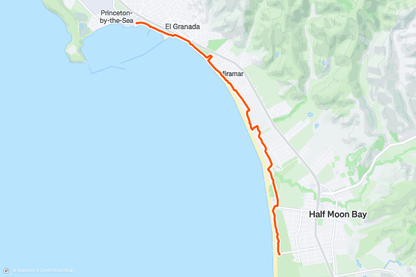
California Coastal Trail: Half Moon Bay State Beach
The California Coastal Trail is a stunning adventure that spans over 1200 miles along the Pacific coast. One of the most scenic sections of the trail is in Half Moon Bay State Beach, a four-mile stretch of protected beaches that offer diverse scenery and experiences for visitors of all ages and abilities....
6


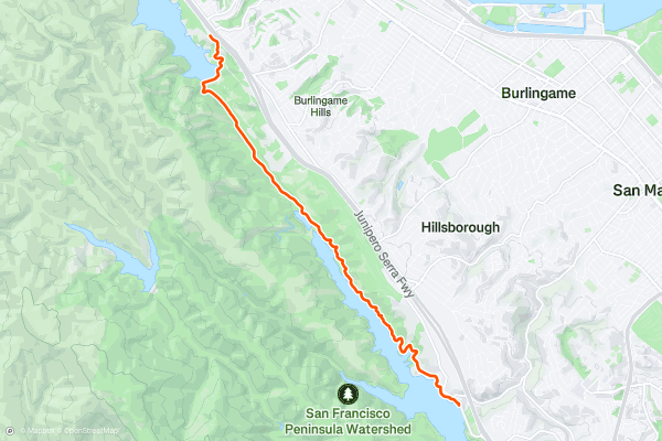
Sawyer Camp Trail
The Sawyer Camp Trail is a scenic and easy trail that follows the shoreline of Lower Crystal Springs Reservoir and San Andreas Lake in San Mateo County. This 6-mile paved trail is part of the Crystal Springs Regional Trail, and is popular for walking, running, biking, and birdwatching....
7


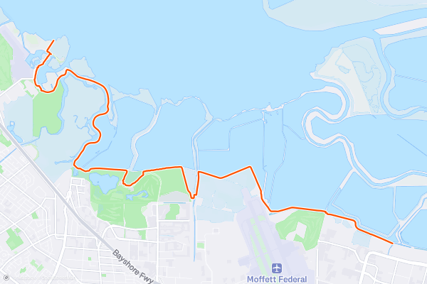
San Francisco Bay Trail: Sunnyvale to Sand Point
If you are looking for a long and flat hike, bike ride, or run with views of the bay and the mountains, the San Francisco Bay Trail: Sunnyvale to Sand Point is a great option....
8


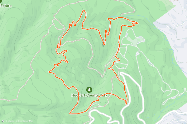
Huddart Park 4-Mile Loop
Huddart Park is a great place to run at any time of year, but particularly in summer when other places can get too hot. This loop is completely shaded by dense canopy as it weaves in and out of damp, leafy canyons....
9


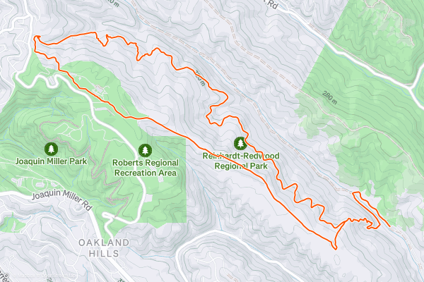
French Trail and West Ridge Loop
The redwood forests of the East Bay are some of the prettiest in the region, and they’re practically within the metro area. Redwood Regional is one of a few interconnected parks that show off second-growth redwoods and a mix of other forest types....
10


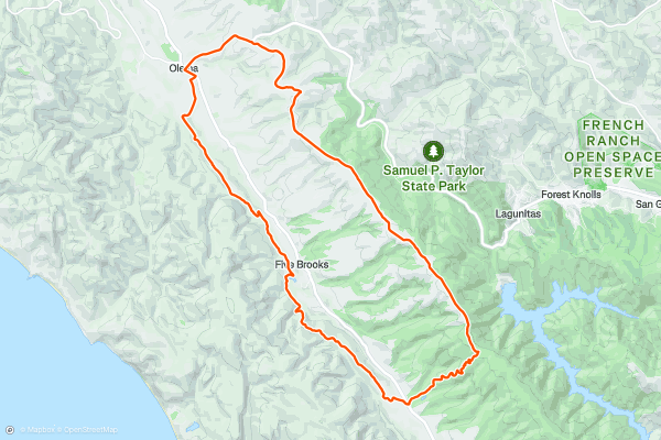
Bolinas Ridge and Olema Valley Loop
This long, hilly loop is great for distance training, and for exploring the geography surrounding one of California’s most famous features—the San Andreas Fault. Olema Valley is actually a rift zone, while Bolinas Ridge to the east and Inverness Ridge to the west are the uplifts on either side of the fault....
11


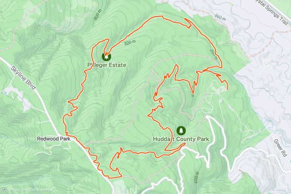
Huddart Park 9-Mile Loop
Huddart Park is a very popular family destination near Woodside and Emerald City. As such, the main trailheads and picnic areas get quite busy, but most visitors do not venture very far down any trail....
Page 1 of 1
Principais regiões para rotas de trail run no Strava
- Alaska
- Albuquerque
- Arizona
- Arkansas
- Bay Area
- Bend
- Big Sky
- Boston
- Brevard
- California
- Cape Cod
- Colorado
- Connecticut
- Dahlonega
- Downieville
- Ellijay
- Flagstaff
- Florida
- Georgia
- Grand Targhee
- Grand Teton National Park
- Hawaii
- Hyalite
- Idaho
- Jackson Hole
- Los Angeles, CA
- Maine
- Marin County
- Maryland
- Massachusetts
- Michigan
- Missouri
- Moab
- Montana
- Mount Rainier National Park
- Nevada
- New Hampshire
- New Mexico
- New York
- North Bridgers
- North Carolina
- Oakridge
- Ohio
- Oregon
- Park City and Deer Valley
- Pennsylvania
- Placitas
- Roanoke
- Salida
- Salt Lake City, UT
- San Francisco, CA
- Santa Monica Mountains
- Sedona, AZ
- South Carolina
- Sun Valley
- Taos
- Telluride
- Tennessee
- Teton Pass
- Texas
- Timberline Lodge Summer
- Utah
- Vermont
- Virginia
- Washington
- Wisconsin
- Wyoming
- Yellowstone National Park
- Yosemite National Park, CA