
Los mejores Senderos para bicicleta de montaña en Oregon
Explorar Senderos para bicicleta de montañaLos 90 senderos para bicicleta de montaña más populares en Oregon
Page 1 of 5
1
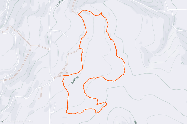
MERA: Red Apple and Soggy Bottom Loop
Red Apple and Soggy Bottom form a delightful beginner singletrack loop close to the Owsley Trailhead in the Mount Emily Recreation Area (MERA). This flowy, largely nontechnical singletrack loop meanders up and down the mellow hills and through the deep forest near the trailhead, without ever getting too far from the car....
2
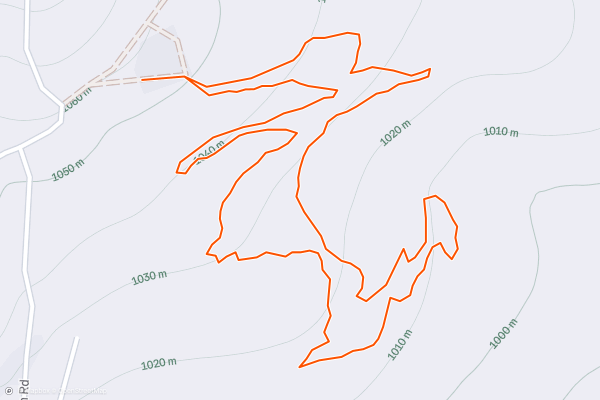
MERA: Parent Trap -> Honor Roll
This quick loop on Parent Trap and Honor Roll is the perfect beginner mountain bike trail for kids and adults alike.
This loop is feature-rich with small jumps, low berms, and plenty of rollers to provide a kinesthetically entertaining mountain bike experience....
3


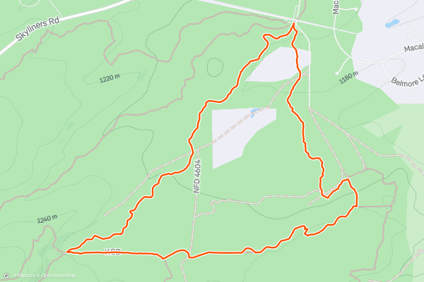
Marvin's -> KGB -> Phil's Loop
The loop consisting of Marvin’s to KGB to Phil’s is one of the top-recommended beginner rides in the Phil’s trail network. This short loop only measures 5 miles in length and climbs just 340 vertical feet, making it a flat, attainable mountain bike ride, while still providing a high quality singletrack experience....
4


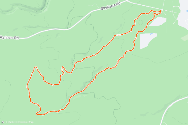
Kent's -> Phil's Loop
Kent’s to Phil’s is an iconic cross country loop that anchors the famous Phil’s Trail Network.
To begin this ride, pedal up the Kent’s trail from the primary Phil’s Trailhead. Kent’s is a mellow climbing trail that is still technically open for downhill traffic....
5


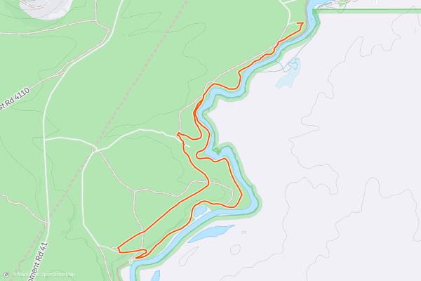
Deschutes River Trail Lollipop
The Deschutes River Trail in its entirety stretches over 13 miles one-way along the banks of the river. This multi-use trail can easily be broken into shorter segments for a delightful, easy ride, hike, or run....
6


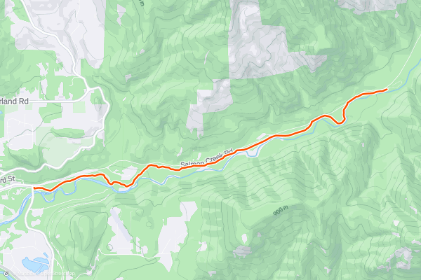
Salmon Creek Out-and-Back
While most of the mountain bike trails in Oakridge are steep and demanding, this diverse destination does offer a delightful beginner pedal: the Salmon Creek Trail.
Salmon Creek can be combined with a few other trails in the area, but for the best beginner ride, simply pedal an out-and-back from the trailhead marked here....
7

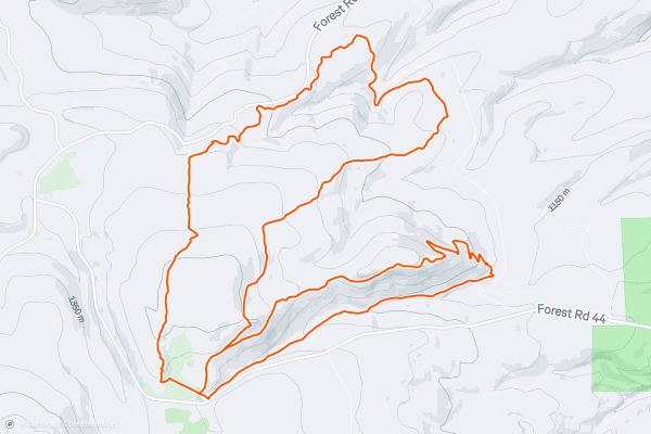
Knebal Springs -> 8-Mile
This double loop ride could easily be broken into two rides of shorter lengths, but when pedaled together, the Knebal Springs and 8-Mile trails combine into a respectable 15-mile mountain bike ride with a little over 2,800 feet of climbing....
8
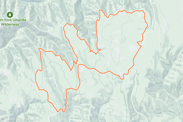
Umatilla Rim Loop
Serpentine strips of dark, black dirt run through the deep woods of the Umatilla National Forest, breaking out into wildflower-filled mountain top meadows that afford stunning views of the deep gorge formed by the Umatilla River....
9
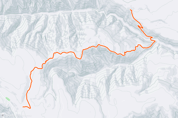
Eagle Ridge Out-and-Back
The Eagle Ridge Trail runs through the Umatilla National Forest near Tollgate. However, there's no great way to loop the entire trail with nearby roads, which leaves you with the opportunity to do a short out-and-back, ride the entire trail as an out-and-back, or find a way to shuttle it....
10


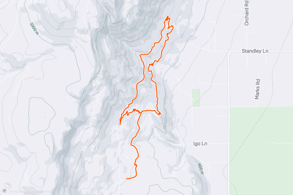
The MERA Loop
The eponymous MERA Loop anchors the greater trail system, providing a spine that all of the other trails connect to in some way. In addition to connecting the entire network together, this trail epitomizes the style of mountain biking that’s most popular here at MERA....
11


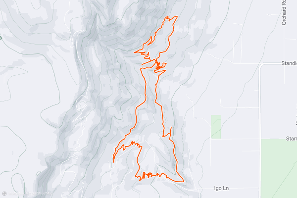
MERA: Sasquatch Figure-8
This figure-8 route is essentially a variant of [the MERA Loop](https://fatmap.com/routeid/2039871/The_MERA_Loop) with a bit more climbing and descending, and a few more challenging, feature-rich trails.
Begin your ride from the Igo Trailhead, climbing up the steep Lower Hotshots trail to access the MERA Loop....
12
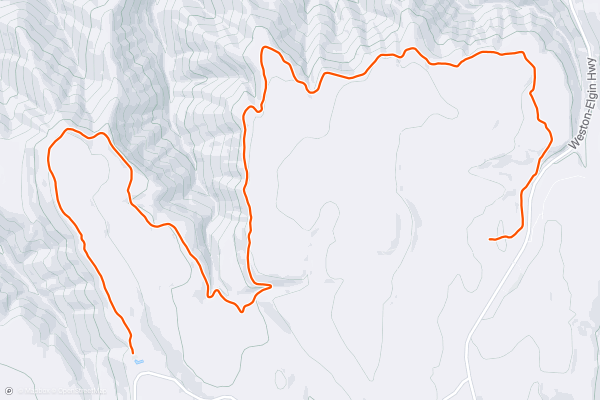
Umatilla Rim Out-and-Back
Serpentine strips of dark, black dirt run through the deep woods of the Umatilla National Forest, breaking out into wildflower-filled mountain top meadows that afford stunning views of the deep gorge formed by the Umatilla River....
13


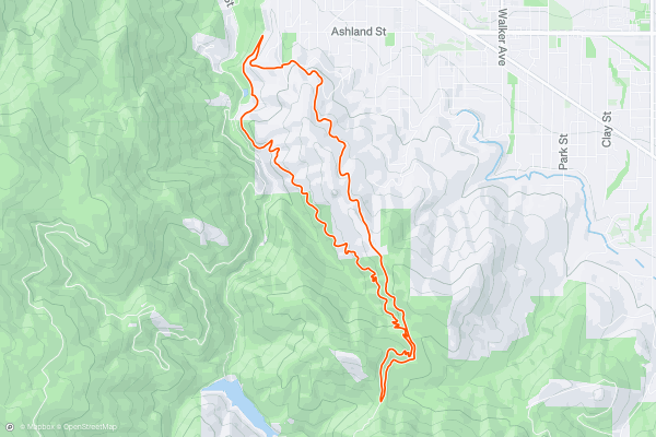
Jabberwocky Loop
Even when the snows shut down the upper trails and stop the shuttles from running, Mt. Ashland offers great mountain biking, even through the winter. The lower trails on the mountain receive very little snow, and one of them—Jabberwocky—is a perennial favorite of locals and tourists alike....
14


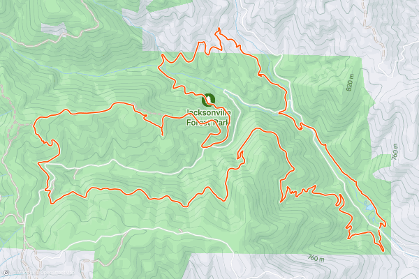
Forest Park: Jackson Ridge and Atsahu Loop
When you look at it on a map, Jacksonville's Forest Park seems like an attractive place to ride a mountain bike. Even though some of the trails are off-limits to bikes, the dozens of remaining bike legal trails run up and down the steep-sided mountains, contour along the creek valleys, and collectively form a seemingly endless variety of loop options....
15


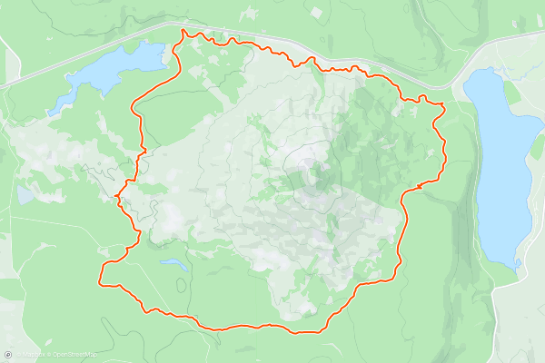
Brown Mountain Loop
This circumnavigation of Brown Mountain provides a type of backcountry mountain biking experience that seems to be growing rarer and rare in the USA today. Immediately after leaving the trailhead, you'll find yourself completely engrossed in the deep forest of Southern Oregon, pedaling down sinuous singletrack beneath towering Douglas fir trees....
16


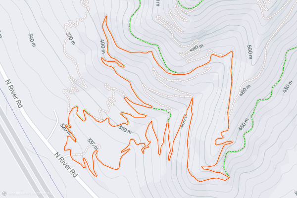
Mountain of the Rogue: Pay Dirt Loop
Riders will find a compact, beautifully-built mountain bike-specific trail system basking in the sun on the flanks of the Mountain of the Rogue. With a little something for everyone, this stacked loop trail system has been artfully designed to appeal to a broad swath of mountain bikers....
17


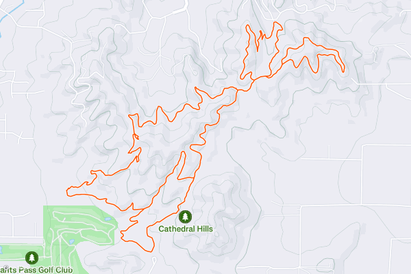
Cathedral Hills
Grants Pass's in-town trail system offers tightly-wound singletrack with a variety of options. While most of these trails are decidedly multi-use, a few of the descents have definitely been optimized for mountain bikes!
The ride begins from one of the most accessible Cathedral Hills trailheads, close to Grants Pass....
18


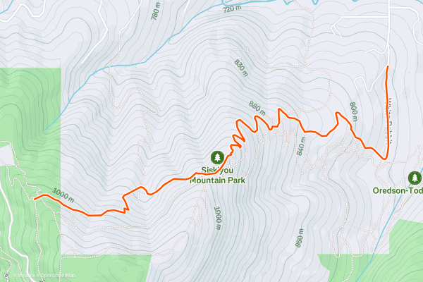
White Rabbit Descent
White Rabbit is one of the few bi-directional multi-use trails in the Mt. Ashland watershed. Most of the other trails in the region are designated for either mountain bikers or hikers, and most of the mountain bike trails are downhill-only....
19


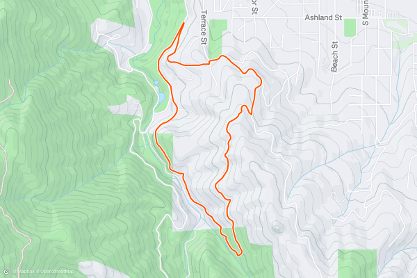
Snark Loop
The Snark Trail is one of the only multi-use multi-directional trails in the Mt. Ashland Watershed. Most of the other trails in the region are designated for either mountain bikers or hikers, and most of the mountain bike trails are downhill-only....
20


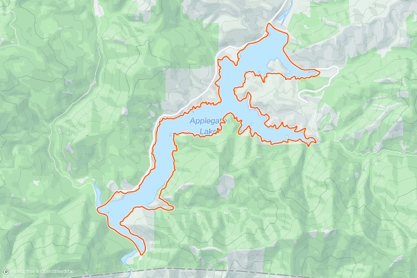
Applegate Lake Loop
While most of the mountain bike trails in Oregon seem to be either straight up or straight down, circumnavigating Applegate Lake is a beautiful cross country mountain bike ride the defies the convention....
Page 1 of 5
Las regiones más populares para senderos para bicicleta de montaña en Strava
- Alaska
- Albuquerque
- Angel Fire
- Angeles National Forest
- Arizona
- Arkansas
- Bay Area
- Bend
- Big Sky
- Brevard
- California
- Colorado
- Dahlonega
- Downieville
- Eagle
- Ellijay
- Flagstaff
- Florida
- Fruita
- Georgia
- Grand Targhee
- Hawaii
- Hurricane
- Hyalite
- Idaho
- Kansas
- Killington
- Lake Tahoe
- Los Angeles, CA
- Mammoth Mountain
- Marin County
- Michigan
- Minnesota
- Missouri
- Moab
- Montana
- Nevada
- New Jersey
- New Mexico
- New York
- New York, NY
- North Bridgers
- North Carolina
- Oakridge
- Oklahoma
- Oregon
- Park City and Deer Valley
- Pennsylvania
- Placitas
- Purgatory
- Roanoke
- Salida
- Salt Lake City, UT
- Sedona, AZ
- Sisters
- South Bridgers
- South Carolina
- Sun Valley
- Taos
- Telluride
- Teton Pass
- Texas
- Tijeras
- Timberline Lodge Summer
- Utah
- Vermont
- Virginia
- Washington
- Winter Park
- Wisconsin
- Wyoming