
Oakridge 中最佳的 山地自行车路径
探索 山地自行车路径Oakridge 中 山地自行车路径 的前 12 名
Page 1 of 1
1


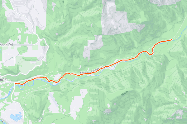
Salmon Creek Out-and-Back
While most of the mountain bike trails in Oakridge are steep and demanding, this diverse destination does offer a delightful beginner pedal: the Salmon Creek Trail.
Salmon Creek can be combined with a few other trails in the area, but for the best beginner ride, simply pedal an out-and-back from the trailhead marked here....
2


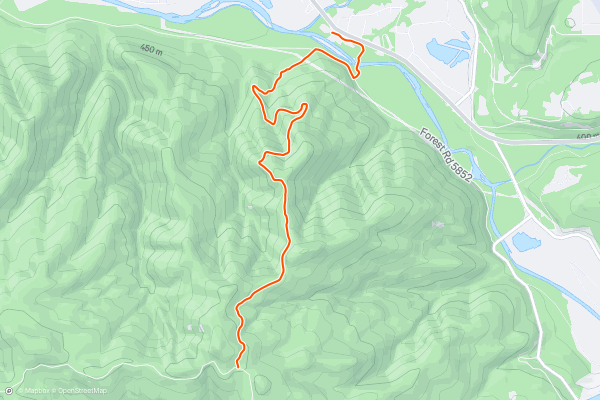
Larison Rock Shuttle
Larison Rock is one of the few singletrack trails that ends right in the town of Oakridge. Thanks to a direct and largely traffic-free road to the top, Larison is a fast and easy shuttle to run, whether on the commercial shuttle with [Cog Wild](https://www....
3


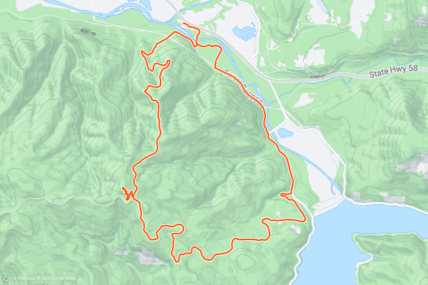
Larison Rock Loop
Larison Rock is one of the few singletrack trails that ends right in the town of Oakridge. Thanks to a direct and largely traffic-free road to the top, Larison provides one of the best loop ride options from downtown....
4


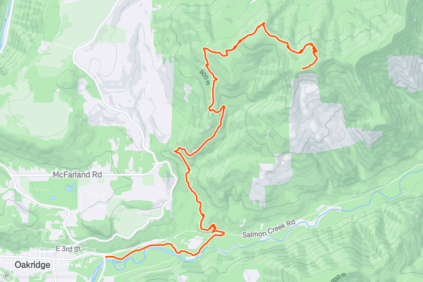
Dead Mountain Shuttle
The shuttle runs in Oakridge range in difficulty from intermediate to expert, and Dead Mountain holds down the easy end of the spectrum. While advanced riders can definitely pick up some serious speed on Dead Mountain, the smooth, well-built trail is enticing to intermediate riders that are still honing their skills....
5


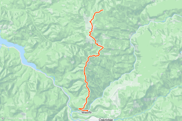
Alpine Trail
While "Alpine Trail" may sound like a generic name, once you begin associating that name with this epic point-to-point enduro-style shuttle route outside of Oakridge, Oregon, it becomes anything but ordinary!
The route begins high in the mountains above Oakridge after a long shuttle up a dirt road....
6
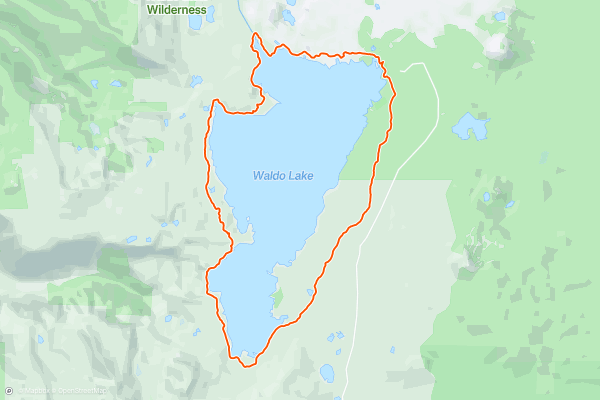
Waldo Lake Loop
Waldo Lake is the second largest lake in Oregon, covering over 10 square miles. "One of the clearest and purest lakes in the world, you can see to depths of over 100 feet on a calm day,” writes [BendTrails....
7


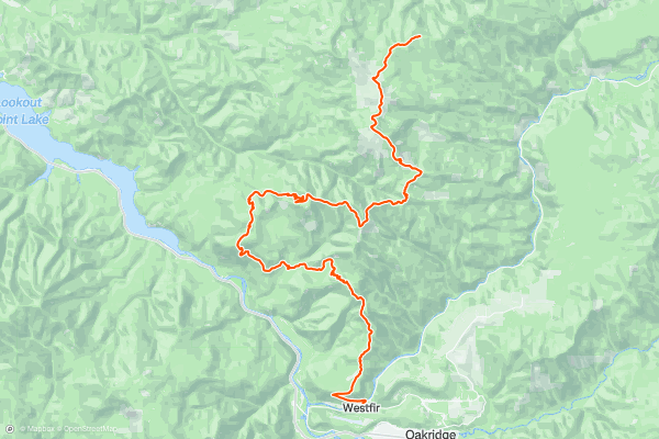
ATCA Shuttle
The ATCA ride serves up a longer, more arduous variant of the classic Alpine Trail shuttle. If Alpine just isn't enough to satisfy your appetite for singletrack, try on the ATCA for size!
The route begins high in the mountains above Oakridge after a long shuttle up a dirt road....
8


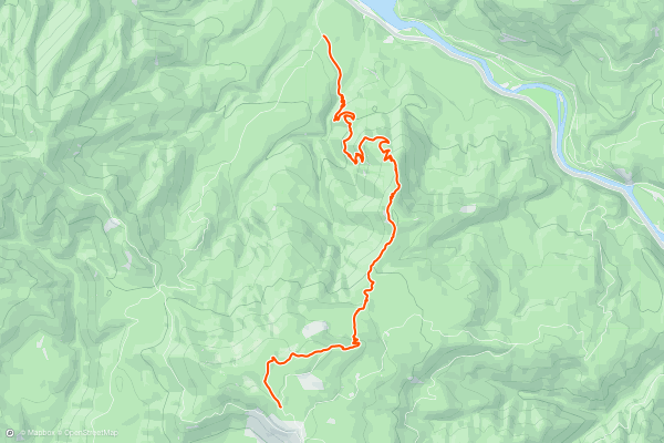
Lawler Shuttle
If you want to get deep and dark in Oakridge, head to the Patterson Mountain zone. While some other parts of the forest have seen select cuts in recent years or the trees are generally just a little more open, allowing more sunlight to filter through the canopy....
9


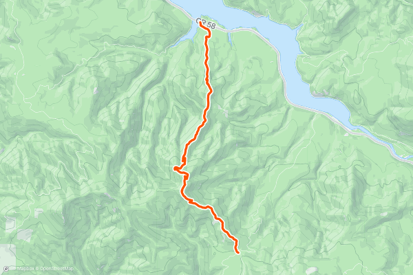
Hardesty Mountain Shuttle
Hardesty Mountain is one of the more remote and lesser-ridden shuttle runs in the Oakridge trail network. With the lower trailhead located 15 miles from downtown Oakridge, you'll have to contact [Cog Wild](https://www....
10


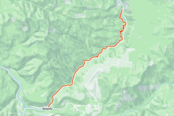
North Fork
The North Fork Trail runs along the banks of North Fork of the Willamette River through a narrow river valley. You'll enjoy stunning river views along the entire length of this route!
The trail starts off easy and smooth, but after about 3 miles it gets quite a bit rougher, more technical, and more challenge....
11


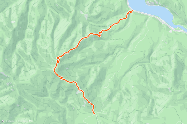
Eula Ridge Shuttle
Even though Eula Ridge is located between Hardesty and Lawler, Cog Wild doesn't technically support a commercial shuttle for Eula. But however you coordinate your shuttle, even if you have to team up with a few buddies, Eula Ridge is definitely worth the effort to reach it!
Eula Ridge reigns as the steepest descent in the Oakridge area....
12


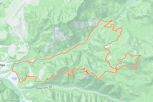
Heckletooth Loop
The Heckletooth Trail isn't on the radar of most mountain bikers that visit Oakridge. Instead, this is a local's loop ride that most riders choose to pedal from town. But with 4,600 feet of climbing in a 24-mile loop, you'd better be prepared for a beat down!
After climbing thousands of feet of little-used forest roads, you'll drop into the Lower Bunchgrass trail....
Page 1 of 1
Strava 上 山地自行车路径 的热门区域
- Alaska
- Albuquerque
- Angel Fire
- Angeles National Forest
- Arizona
- Arkansas
- Bay Area
- Bend
- Big Sky
- Brevard
- California
- Colorado
- Dahlonega
- Downieville
- Eagle
- Ellijay
- Flagstaff
- Florida
- Fruita
- Georgia
- Grand Targhee
- Hawaii
- Hurricane
- Hyalite
- Idaho
- Kansas
- Killington
- Lake Tahoe
- Los Angeles, CA
- Mammoth Mountain
- Marin County
- Michigan
- Minnesota
- Missouri
- Moab
- Montana
- Nevada
- New Jersey
- New Mexico
- New York
- New York, NY
- North Bridgers
- North Carolina
- Oakridge
- Oklahoma
- Oregon
- Park City and Deer Valley
- Pennsylvania
- Placitas
- Purgatory
- Roanoke
- Salida
- Salt Lake City, UT
- Sedona, AZ
- Sisters
- South Bridgers
- South Carolina
- Sun Valley
- Taos
- Telluride
- Teton Pass
- Texas
- Tijeras
- Timberline Lodge Summer
- Utah
- Vermont
- Virginia
- Washington
- Winter Park
- Wisconsin
- Wyoming