
Die besten Mountainbike-Trails in Lake Tahoe
Mountainbike-Trails entdeckenDie 29 Top-mountainbike-trails in Lake Tahoe
Page 1 of 2
1
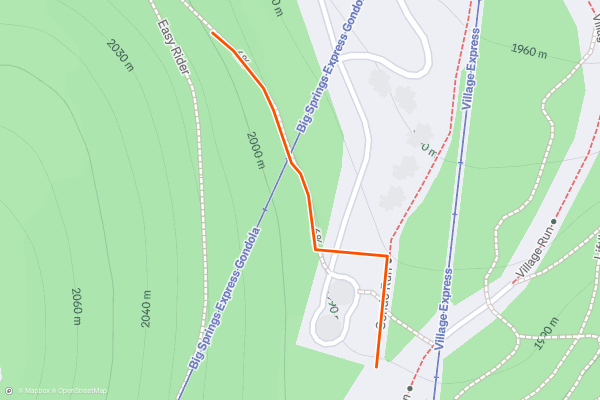
6%
Besides the "Bumps & Bends" zone "6%" is one of the best trails on the mountain to practice your jumping and turning on berms. In order to access, you must ride "Easy Rider" or "Mineshaft" first and you will see the trail head about halfway down "Village Run" which is a hike-only trail....
2


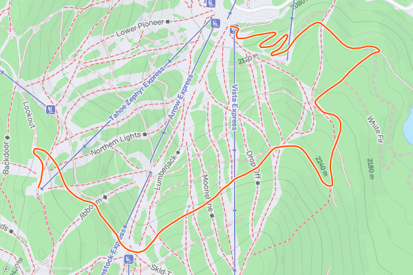
Tryumph
"Tryumph" doubles as a fire/access road for the bike park so it's wide enough for maintenance vehicles to drive on. When you start, be aware that "Livewire" crosses just over "Tryumph" about 200 feet from the beginning of the trail....
3


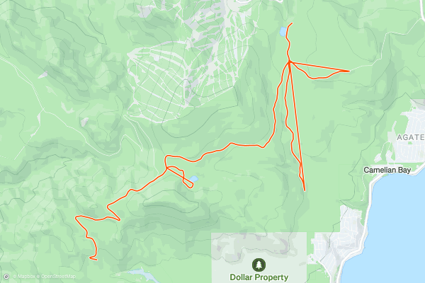
Fibreboard Freeway (Bike)
1) Fibreboard free is unique in that it is a xc loop that starts at the Northstar Bike Park but you can actually ride it to the top of Brockway Summit (Highway 267) and down into the Lake Basin ending up in Carnelian Bay....
4


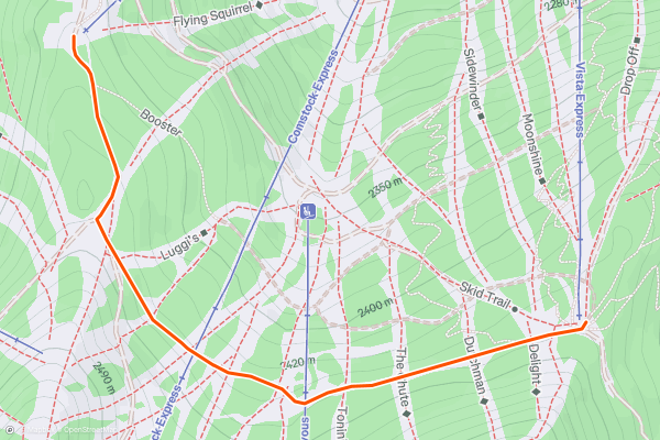
Crossover
"Crossover" is a great trail for xc riders to enjoy on the upper mountain or DH riders to warm up their legs on before tackling the gravity trails. "Crossover" starts. If accessed by the "Tahoe Zephyr Express" side, you will start with a mellow climb, then even out to a level fire road ride then end with an easy descent back down into the top of the "Vista Express" zone....
5


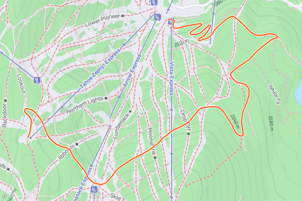
Tryumph
"Tryumph" doubles as a fire/access road for the bike park do it's wide enough for maintenance vehicles to drive on. When you start, be sure to aware that "Livewire" crosses just over "Tryumph" about 200 feet from the beginning of the trail....
6


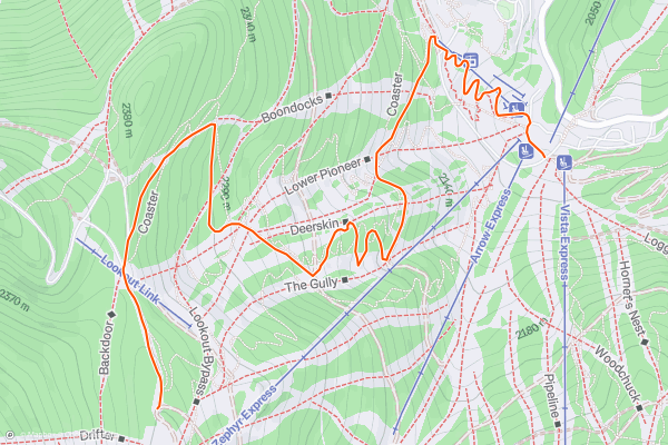
Coaster
One of the best blue trails on the mountain, "Coaster" will test your jumping and berm skills as well as mix in wood features. The first third of the trail is a mixture of small rocks drops, jumps, berms, and a few wooden ladders....
7
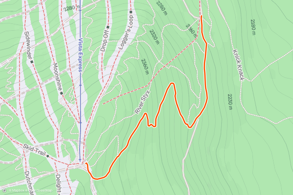
Big Trees
Looking for rollers, jumps mixed with a little bit of technical riding? "Big Trees" starts like that straight away with multiple rollers ending with small/medium sized jumps. There is a set of 4 of these rhythm sections and then the trails become more rocky and technical mixing in berms to switch back and forth with the contour of the mountain....
8


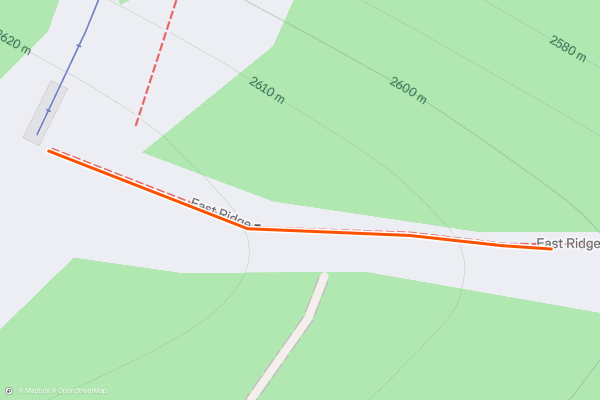
Monument (Bike)
If you are looking to do some serious climbing with a reward at the end, "Monument" is for you. This is the highest point on the mountain and the trial is open to both hikers and bikers....
9

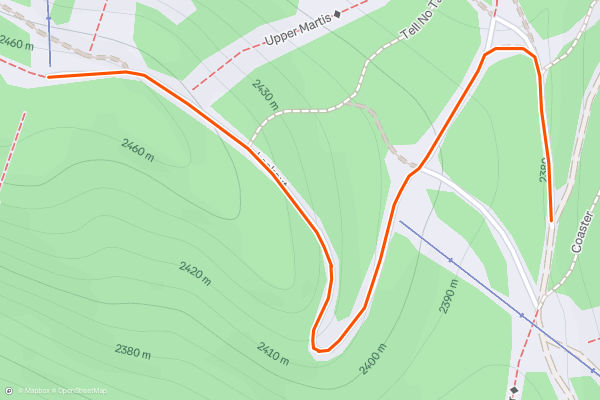
Lookout (Bike)
Open both to hikers and bikers, "Lookout" lets you access some of the best views of the Pacific Crest anywhere on the mountain. It is mostly climbing but worth it at the top....
10


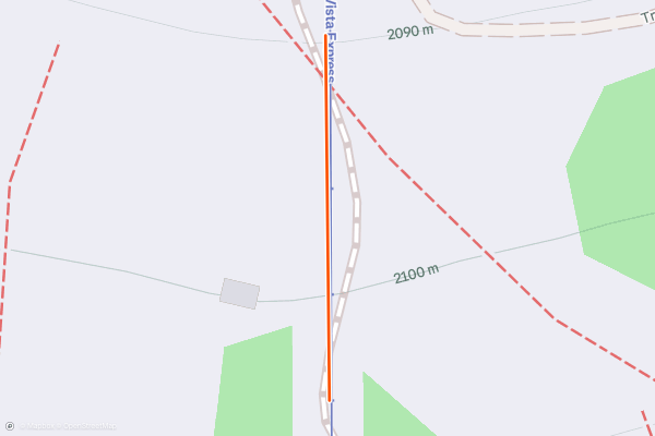
Coyote
After riding "Dog Bone", "Karpiel", "Sticks & Stones" or "Pho Dog" you can either continue on the black trail that all 4 trails merge into known as the "Daytona Berms" area or you can take "Coyote" as an alternative route to avoid the large berm area and jumps....
11
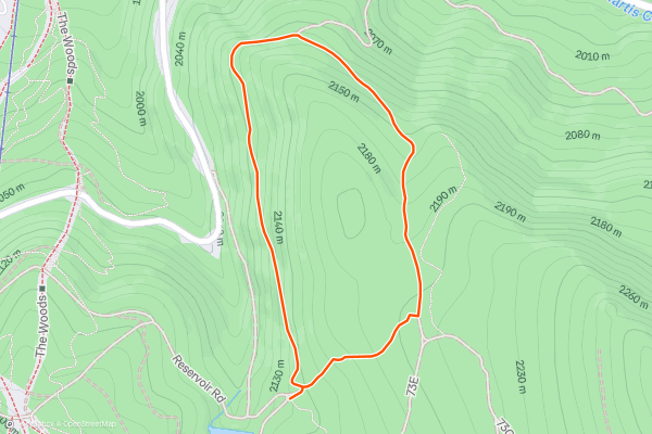
Outland Loop
If you are looking for an XC Loop that is removed from the rest of the bike park providing seclusion and connection with the forest, "Outland Loop" is for you. Depending on which route oyu take to access the trail you will be doing a long climb or access via other downhill trails via "Vista Express"....
12


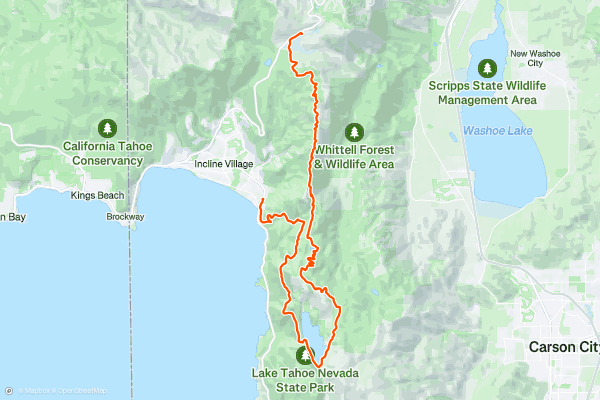
Tahoe Rim Trail -> Flume Trail
The Flume Trail began life as the grade for a water flume that delivered lumber from high in the mountains above Lake Tahoe to the towns far below. Nowadays, the remnants of the Flume are still visible, but the old flume bed is instead utilized by mountain bikers and hikers....
13


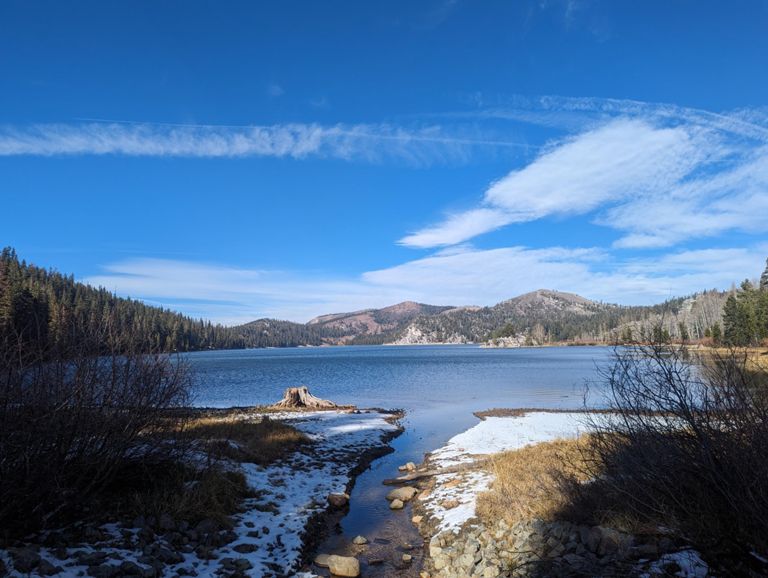
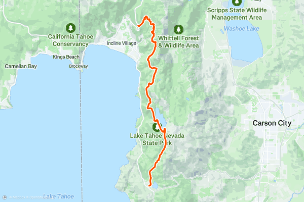
The Flume Trail
The Flume Trail began life as the grade for a water flume that delivered lumber from high in the mountains above Lake Tahoe to the towns far below. Nowadays, the remnants of the Flume are still visible, but the old flume bed is instead utilized by mountain bikers and hikers....
14


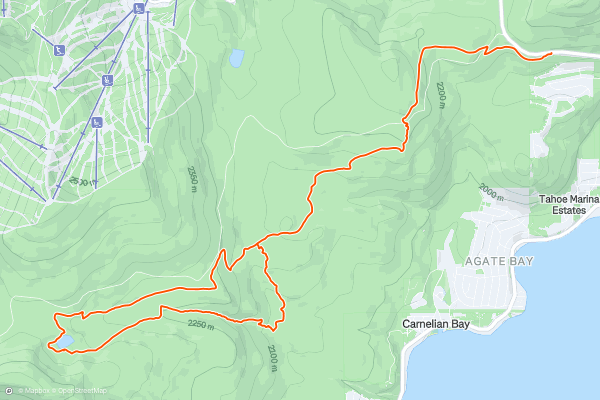
Tahoe Rim Trail: Brockway to Watson Lake
The Brockway Summit Trailhead may be the most accessible entry point to the Tahoe Rim Trail (TRT) as it sits right on highway 267 just a few miles south of I-80 and Truckee, CA....
15


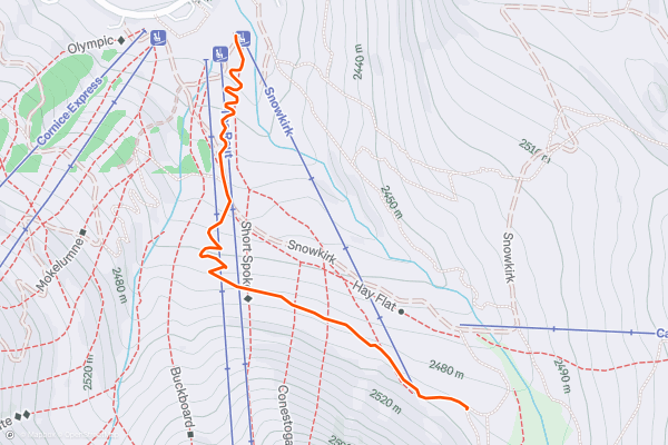
Scout's Route
Scout's route is an intermediate singletrack descending down from the Snowkirk Lift. Technically, it runs directly into the Girl Scouts trail, a beginner-level singletrack, to complete the descent to the bottom of the mountain....
16


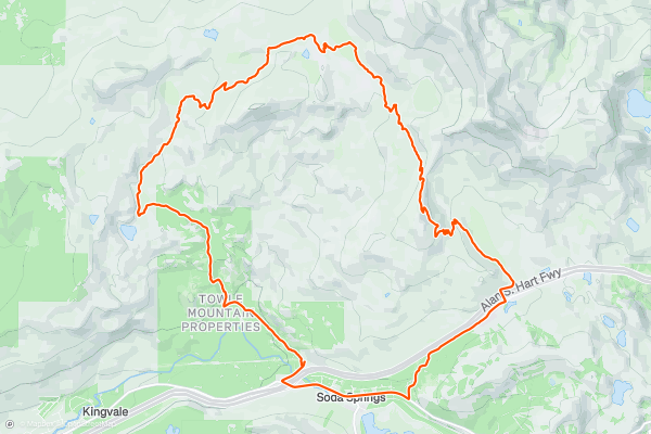
Hole in the Ground
If you want one ride that will throw a little of everything at you, all in highly-entertaining fashion, then head for Truckee, California and ride the joyful Hole in the Ground trail....
17


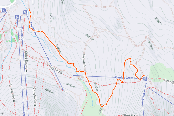
Vista -> Lower Corral -> Red Cliffs
The Kirkwood Bike Park is home to 12 different downhill trails, and the run mapped here serves as the primary black-diamond descent down the bike park. This run drops down Vista, and then funnels into the blue Lower Corral trail to finish the descent....
18


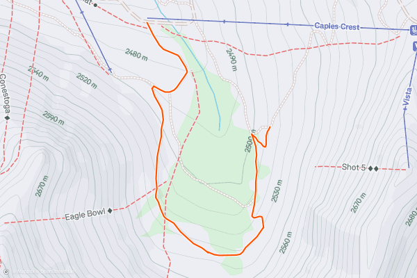
Upper Corral
The Upper Corral trail is a black-diamond alternative finish to the top-to-bottom descent through the Kirkwood Bike Park, primarily utilizing the Vista Trail. However, unlike finishing on a brief section of Lower Corral, Upper Corral swoops out across the hillside, making for a not-so-steep finish to the ride down....
19


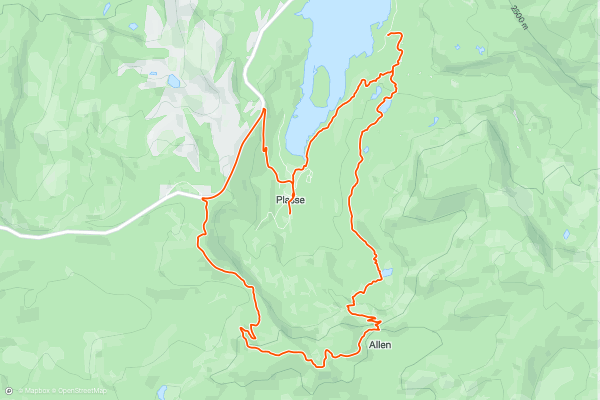
Silver Lake / Hidden Lake Trail
This loop serves up a classic XC-style mountain bike ride in the greater Silver Lake area.
Begin with a long jeep road climb to access the top of the ridge and the beginning of the Hidden Lake Trail....
20


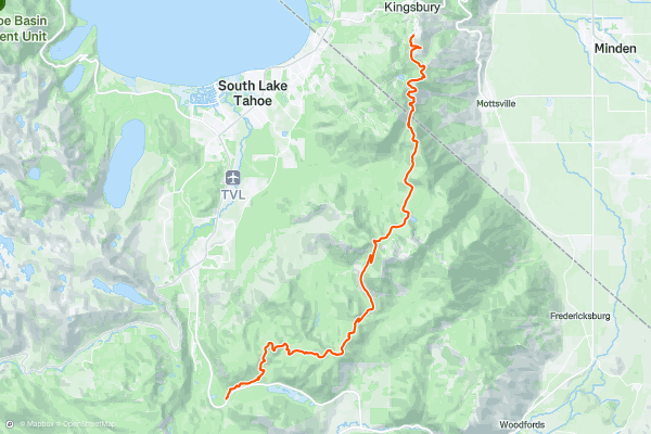
Tahoe Rim Trail: Heavenly Mountain to Big Meadow
From the base of the ski runs near Kingsbury, the trail climbs steadily among impressively-large old-growth firs and pines, traversing the east aspect of Monument Peak. It crosses a few more ski runs, but they are barely noticeable when covered by shrubs and wildflowers instead of snow....
Page 1 of 2
Topregionen für mountainbike-trails bei Strava
- Alaska
- Albuquerque
- Angel Fire
- Angeles National Forest
- Arizona
- Arkansas
- Bay Area
- Bend
- Big Sky
- Brevard
- California
- Colorado
- Dahlonega
- Downieville
- Eagle
- Ellijay
- Flagstaff
- Florida
- Fruita
- Georgia
- Grand Targhee
- Hawaii
- Hurricane
- Hyalite
- Idaho
- Kansas
- Killington
- Lake Tahoe
- Los Angeles, CA
- Mammoth Mountain
- Marin County
- Michigan
- Minnesota
- Missouri
- Moab
- Montana
- Nevada
- New Jersey
- New Mexico
- New York
- New York, NY
- North Bridgers
- North Carolina
- Oakridge
- Oklahoma
- Oregon
- Park City and Deer Valley
- Pennsylvania
- Placitas
- Purgatory
- Roanoke
- Salida
- Salt Lake City, UT
- Sedona, AZ
- Sisters
- South Bridgers
- South Carolina
- Sun Valley
- Taos
- Telluride
- Teton Pass
- Texas
- Tijeras
- Timberline Lodge Summer
- Utah
- Vermont
- Virginia
- Washington
- Winter Park
- Wisconsin
- Wyoming