
Arizonaで一番のマウンテンバイクトレイル
マウンテンバイクトレイルを探索Arizonaにおける上位93件のマウンテンバイクトレイル
Page 1 of 5
1


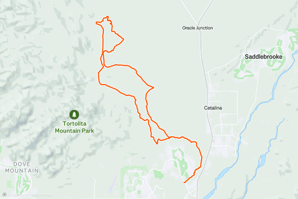
Honeybee-X Trails
The Honeybee Canyon Trail is a classic, scenic mountain bike ride that beginners will enjoy for its lack of hardcore technical features and the more experienced cyclists will find enjoyable for the sheer speed it encourages....
2


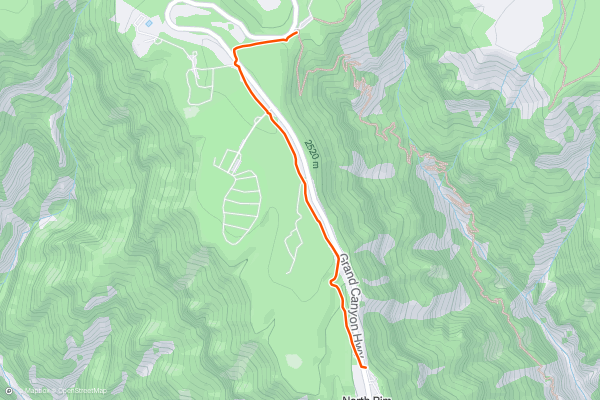
Bridle Path
Most trails in Grand Canyon National Park do not allow bicycles or pets, but this one does, allowing the whole family to get exercise while camping at the North Rim. It runs close to the road but is somewhat shrouded among conifer and aspen forest....
3


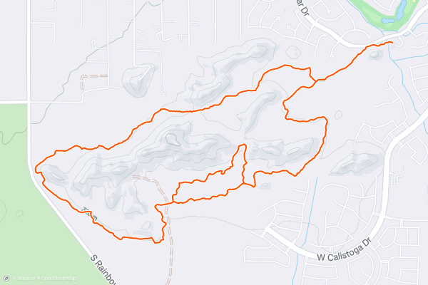
FINS XC Ride
The "FINS" name—standing for "Fantasy Island North Singletrack"—harkens to the renowned [Fantasy Island](https://fatmap.com/routeid/1203137/Fantasy_Island/@34.8171200,-111.7202465,65768.7228866,-90,720,1618.3244448,normal) trail outside the city of Tucson, to the south. This northern trail was originally a renegade trail system built on private land without the authorization of the owner and land developer....
4


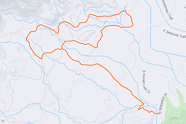
The Corona Loop
If you’re looking for the perfect trail in Phoenix to introduce someone to the sport of mountain biking, be sure to check out the Corona Loop!
This lollipop-style ride begins from a modest trailhead on the south side of South Mountain....
5


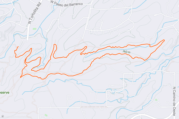
Desperado Loop
Sweetwater Preserve protects an 880-acre parcel of the Sonoran Desert that’s filled to bursting with towering saguaro cacti. This open space area is located just half a mile from Saguaro National Park “and a biological research preserve owned by the University of Arizona,” according to [PIMA....
6


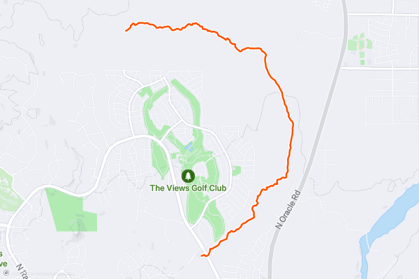
Big Wash Trail
If you’re looking for a mellow, flat beginner ride lined with beautiful cacti, look no further than the Big Wash Trail. This ultra-smooth singletrack crisscrosses the eponymous “Big Wash” for miles....
7
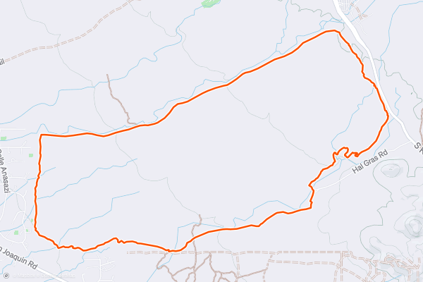
Ironwood Loop
As you get further and further from downtown Tucson, the trail crowds continue to thin out. This loop on the opposite side of the Tucson Mountains from downtown, anchored by the Ironwood Trail, sees some trail traffic, but not nearly as much as trails closer to town....
8


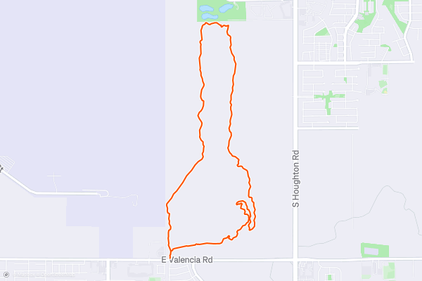
Bunny Loop
The Bunny Loop occupies the southern end of the Fantasy Island Trail System. While part of the original Bunny Trail has been destroyed by a new housing development, a new reroute has since re-connected Bunny with the Cactus Cup Loop to the north....
9
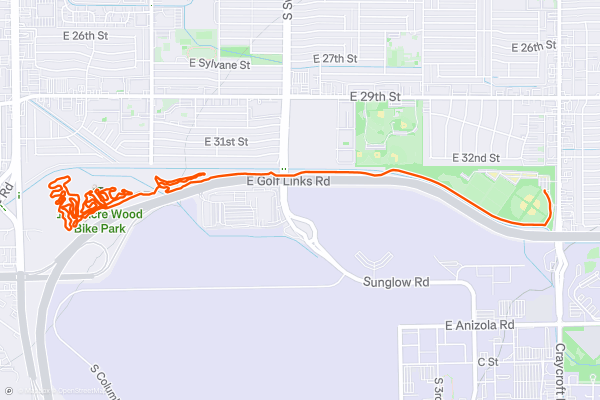
100-Acre Wood Bike Park
Phase 1 of the 100-Acre Wood Bike Park was completed in 2019, but presumably, due to the Covid-19 pandemic, the project was put on hold. At the time of this writing in the spring of 2021, reports indicate that SDMB is gearing back up to resume trail maintenance and building projects, so hopefully the 100-Acre Wood sees completion soon!
However, at the time of this writing, only a small amount of building has been completed here....
10


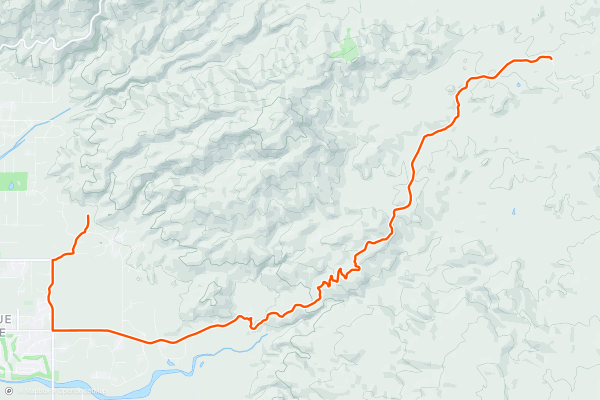
Redington Pass
Redington Pass rises directly from the outskirts of Tucson, quickly transitioning from a paved road to a winding, switchbacked dirt road climbing high into the Rincon Mountains above the city. This delightfully accessible stretch of dirt boasts some considerable elevation gain, making it a go-to training ride for cyclists of all stripes in the city....
11


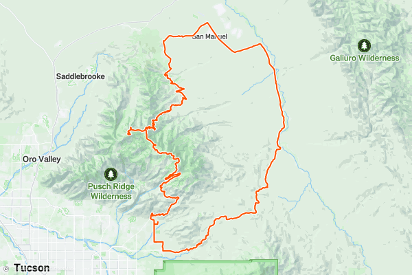
Dirty Lemmon Loop
Cycling up the Mount Lemmon Highway is an epic challenge "that will rival some of the best climbs across the country," according to [ArizonaBikeRides.com](https://www.arizonabikerides.com/rides/220/mt-lemmon-bike-ride-tucson-arizona/). Hundreds of road cyclists pedal this highway every week!
But what if you want a bigger—and decidedly dirtier—challenge?
Enter the Dirty Lemmon Loop
This route creates a massive loop around the east side of the mountain with a short spur to the top of Mount Lemmon....
12


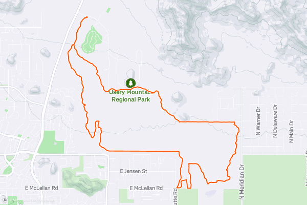
Usery Mountain Park: Easy Loop
Usery Mountain Regional Park forms part of the green space barrier that hems in the northeastern corner of the Phoenix Metro Area. Despite being located right next to the popular mountain bike trails in the Hawes Trail System, Usery often gets overlooked by many mountain bikers....
13


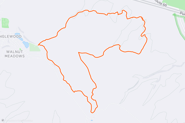
Campbell Mesa
If you're looking for a classic mountain bike ride near Flagstaff, Campbell Mesa should top the list along with the [Soldier Trail](https://fatmap.com/routeid/2886135/soldier-trail/) and [Kelly Pocket](https://fatmap.com/routeid/2886131/kelly-pocket). While all three are relatively easy rides compared to many of the backcountry trails north of town, Campbell Mesa tours the frontcountry through stands of massive ponderosa pine and oak, and offers views of Mount Elden and other nearby areas....
14
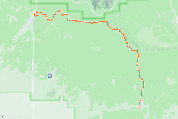
Arizona Trail: Flagstaff to Grand Canyon, Day 3
Follow the historic stagecoach line from Flagstaff to Grand Canyon during this 100-mile adventure. Over four days you’ll see terrain as diverse as anywhere in northern Arizona, from the fern and aspen groves of the San Francisco Peaks, to the big sky country across the Babbitt Ranch, and through pinon-juniper forests that lead right up to the South Rim of Grand Canyon....
15


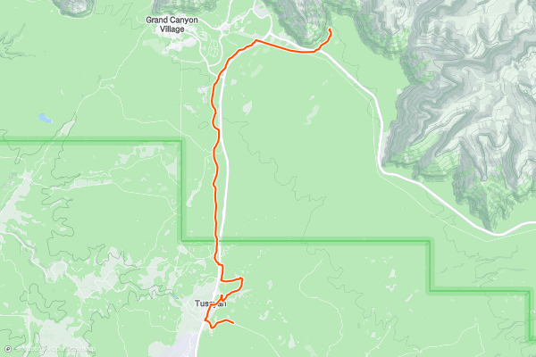
Arizona Trail: Flagstaff to Grand Canyon, Day 4
Follow the historic stagecoach line from Flagstaff to Grand Canyon during this 100-mile adventure. Over four days you’ll see terrain as diverse as anywhere in northern Arizona, from the fern and aspen groves of the San Francisco Peaks, to the big sky country across the Babbitt Ranch, and through pinon-juniper forests that lead right up to the South Rim of Grand Canyon....
16


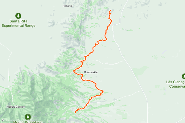
Arizona Trail: Santa Ritas to Saguaro NP, Day 1
This diverse and exciting three-day adventure features 60 miles of flowing singletrack through oak and juniper forests, across golden grasslands and finishing among stands of giant saguaro cacti. While technical challenges will be encountered each day, the majority of the route is ideal for beginner and intermediate riders who want to experience the Arizona Trail near Tucson....
17


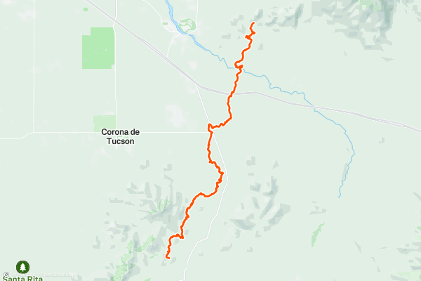
Arizona Trail: Santa Ritas to Saguaro NP, Day 2
This diverse and exciting three-day adventure features 60 miles of flowing singletrack through oak and juniper forests, across golden grasslands and finishing among stands of giant saguaro cacti. While technical challenges will be encountered each day, the majority of the route is ideal for beginner and intermediate riders who want to experience the Arizona Trail near Tucson....
18


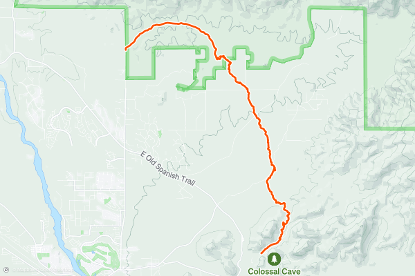
Arizona Trail: Santa Ritas to Saguaro NP, Day 3
This diverse and exciting three-day adventure features 60 miles of flowing singletrack through oak and juniper forests, across golden grasslands and finishing among stands of giant saguaro cacti. While technical challenges will be encountered each day, the majority of the route is ideal for beginner and intermediate riders who want to experience the Arizona Trail near Tucson....
19


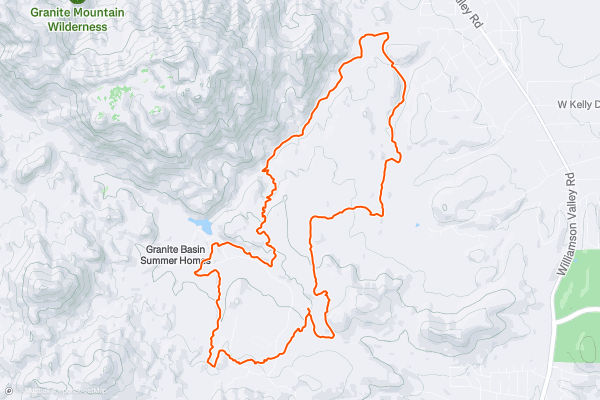
Granite Basin Loop
The Granite Basin area lies between the city of Prescott, Arizona, and Granite Mountain, which lies in the Granite Mountain Wilderness Area. This in between area contains a delightful network of singletrack trails with options to expand rides to adjoining networks....
20


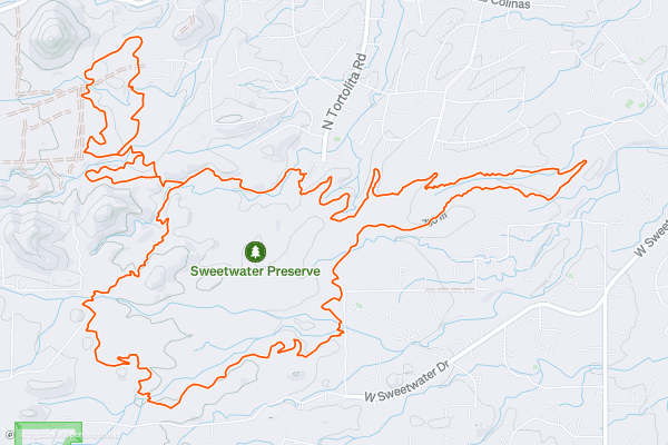
Sweetwater Preserve Trail System
The Sweetwater Trail System is a classic, scenic desert singletrack, with a mix of smooth, fast, sandy stretches and techie, rocky, challenging sections.
These trails can be ridden either direction from the parking lot, but I prefer the counter-clockwise direction....
Page 1 of 5
Stravaにおけるマウンテンバイクトレイルの人気地域
- Alaska
- Albuquerque
- Angel Fire
- Angeles National Forest
- Arizona
- Arkansas
- Bay Area
- Bend
- Big Sky
- Brevard
- California
- Colorado
- Dahlonega
- Downieville
- Eagle
- Ellijay
- Flagstaff
- Florida
- Fruita
- Georgia
- Grand Targhee
- Hawaii
- Hurricane
- Hyalite
- Idaho
- Kansas
- Killington
- Lake Tahoe
- Los Angeles, CA
- Mammoth Mountain
- Marin County
- Michigan
- Minnesota
- Missouri
- Moab
- Montana
- Nevada
- New Jersey
- New Mexico
- New York
- New York, NY
- North Bridgers
- North Carolina
- Oakridge
- Oklahoma
- Oregon
- Park City and Deer Valley
- Pennsylvania
- Placitas
- Purgatory
- Roanoke
- Salida
- Salt Lake City, UT
- Sedona, AZ
- Sisters
- South Bridgers
- South Carolina
- Sun Valley
- Taos
- Telluride
- Teton Pass
- Texas
- Tijeras
- Timberline Lodge Summer
- Utah
- Vermont
- Virginia
- Washington
- Winter Park
- Wisconsin
- Wyoming