
Les meilleurs Chemins de randonnée à Picos de Europa
Explorer les Chemins de randonnéeNot the highest mountains in spain but are very popular walking, hiking and climbing spots known for is mix of peaks and gorges.
7 meilleurs chemins de randonnée à Picos de Europa
Page 1 of 1
1


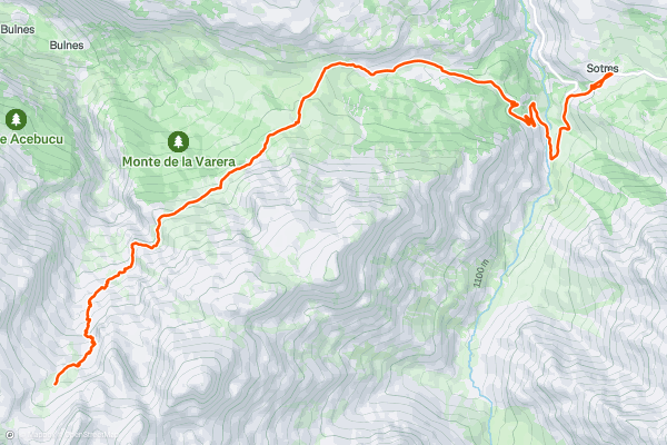
Sotres to Uriello Refuge via Pandebano
A lovely walk with a long continual climb to the largest refuge in the Picos de Europa; the Refugio de Vega Uriello. Nestled underneath the emblematic mountain Naranjo de Bulnes and with the sparse Uriello meadow close by, the refuge is in an amazing setting....
2


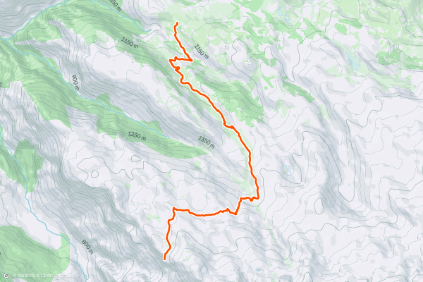
Pan de Carmen– Mirador de Ordiales – Pan de Carmen
Starting at Pan de Carmen close to Lake Enol this is one of the classic walks in the Picos de Europa, and gives an excellent feel of the higher mountains landscape as well as magnificent views most of the way....
3


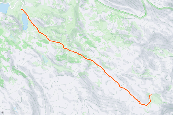
Vega Ario
This is one of the classic walks in the Picos de Europa. It starts at the Lake Ercina, and goes up to the Ario meadow, dramatically situated in front of the western massif high above the Cares gorge....
4


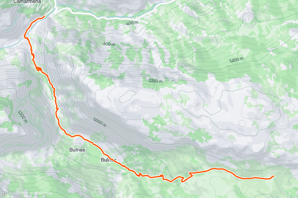
Poncebos - Bulnes - Pandebano
Starting at Poncebos this route follows a small stream along a narrow path climbing up to Bulnes (there are some fairly steep drops on the way.) Bulnes was the last inhabited village in Asturias without road access but its isolation has been broken by the construction of the funicular railway which brings lots of tourist in the summer....
5


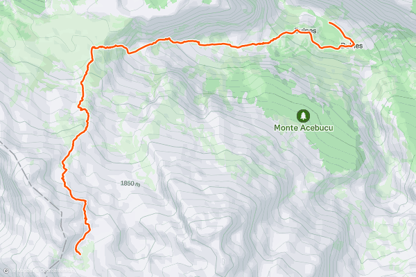
Bulnes to Jou de Cabrones and the Cabrones refuge
Starting at Bulnes this route goes through farmland before climbing up the steep canal de Amuesa with its impressive vertical walls. You come to some amazing summer pastures with their stone huts before a continual climb up an ever increasingly rocky track....
6


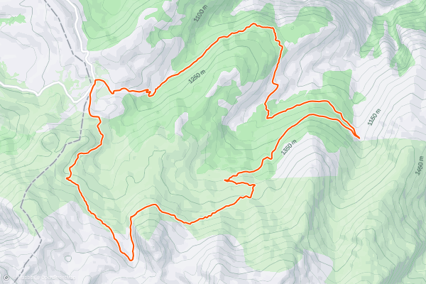
Circular walk in the Andará Massif
This very spectacular circular walk in the Eastern massif of the Picos starts at the Jito de Escarandi 4 kilometres from Sotres. The scenery is varied going through farming land, beech forests, mountain slopes and it also passes by the Andará refuge where refreshments are available (in high season)....
7


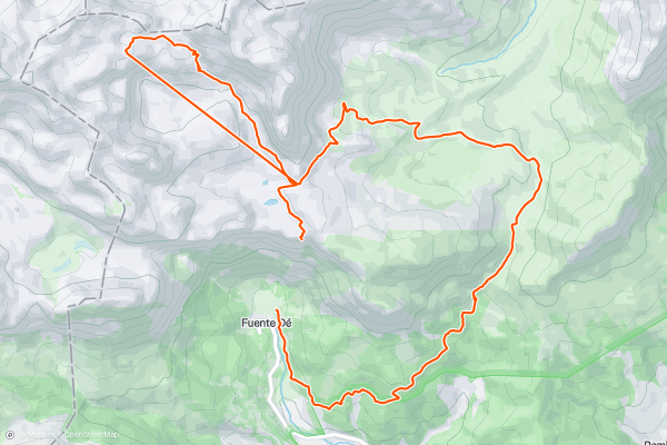
Fuente Dé - Mirador El Cable - Puertos de Aliva - Fuente Dé
The cable car at Fuente Dé shoots you up over 1000 metres to amazing lunar scenery high in the Picos. You can take a detour up to the highest refuge in the Picos through the rocky landscape to the Cabaña Veronica or just follow the winding tracks through the verdant and extensive Avila pastures before following paths through oak forests back down to Fuente Dé....
Page 1 of 1