
Les meilleurs Chemins de randonnée à Queenstown
Explorer les Chemins de randonnéeQueenstown, New Zealand
Queenstown, New Zealand
5 meilleurs chemins de randonnée à Queenstown
Page 1 of 1
1


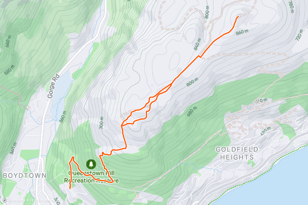
Queenstown Hill Trail
One of the most popular hikes in Queenstown, the hike up to Queenstown Hill is accessible throughout the year to most levels of hikers, and boasts some fabulous views of Queenstown, Lake Wakatipu and the Remarkables....
2


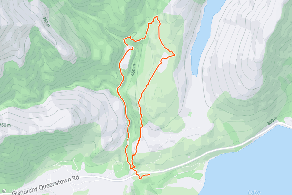
Mount Crichton Loop Track
A local favourite, the Mount Crichton loop offers a good day hike for walkers of all ages. Starting at the car park some 12km from Glenorchy-Queenstown Road, this well-marked trail follows Twelve Mile Creek before climbing up through red beech gullies, before climbing through a range of local flora....
3


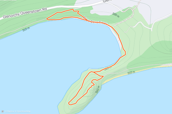
Bob's Cove Track
An easy hike for the walkers of all ages, the Bob's Cove Track starts from the car park just after 14km on the Glenorchy–Queenstown Road.
Dropping down through native bushland, Bob's Cove Track follows the shoreline of Lake Wakatipu towards Bob's Cove....
4


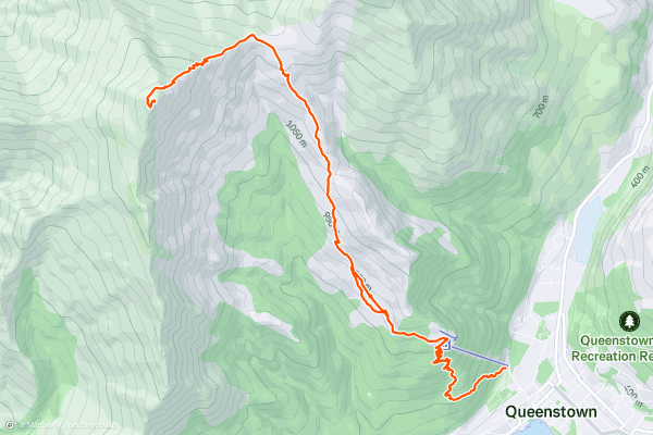
Ben Lomond Track
The Ben Lomond Track is a challenging, but rewarding hike that takes you into the heart of the Southern Alps. Climbing up above Queenstown, the trail boasts some of the most spectacular views in the area - including a stunning 360 degree vista of the Southern Alps, Lake Wakatipu and Queenstown itself....
5


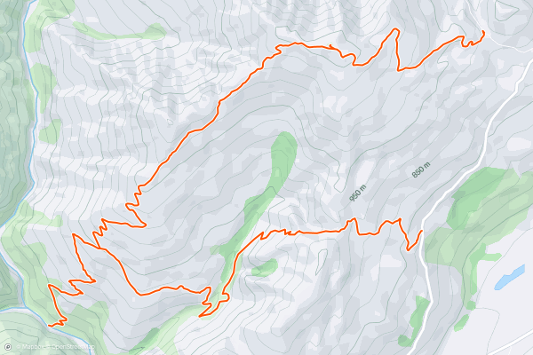
Devils Creek Track (with Shotover River detour)
For some it's a hiking trail, for others a mountain bike track, but whichever your preference, the Devils Creek Track is a challenging circuit with plenty to offer. The track can be completed in either direction, but starting out from Skippers Saddle (with a direct hike up to Mount Dewar) is arguably easier....
Page 1 of 1