
Os melhores Trilhos de caminhada em Tignes and Val d'Isère
Explorar Trilhos de caminhadaTignes & Val d'Isere combine to create one of the world's truly great ski areas, but they each offer different and unique experiences.
Principais 13 trilhos de caminhada em Tignes and Val d'Isère
Page 1 of 1
1


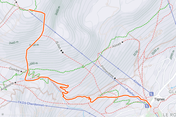
Palafour Lift Hike
Instead of riding the Palafour Chairlift to access the Aiguille Percée route, follow this hike from the base area (near the Office de Tourisme) up to the top of the Palafour Lift....
2


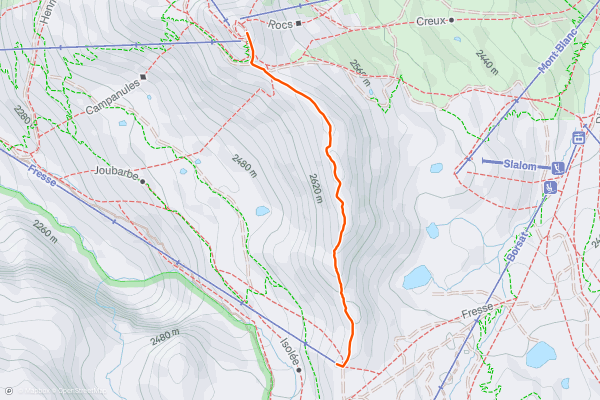
Pointe de Fresse / Ice Tignes
The French Alps are famed for offering a spectacular landscape in a mountainous environment—a truly magical and stunning place to hike. This route offers a true alpine experience with high exposure along the Tovière ridge....
3


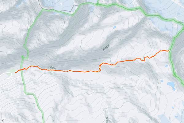
Le Vallon du Prariond
Escape into the realm of ibex, chamois, and marmots where the peace and tranquility will leave you wanting to stay the night at the nearby refuge.
The route starts near the bridge at the first hairpin of the Col de l'Iseran, after Val d'Isere....
4


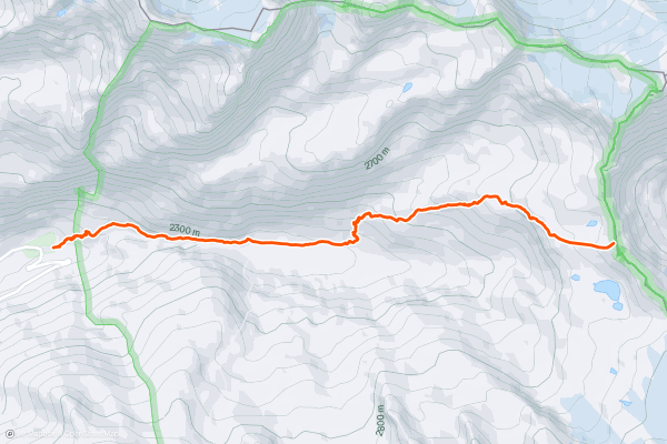
Col de la Galise
Escape into the realm of ibex, chamois, and marmots where the peace and tranquility will leave you wanting to stay the night at the nearby refuge.
The route starts near the bridge at the first hairpin of the Col de l'Iseran, after Val d'Isere....
5


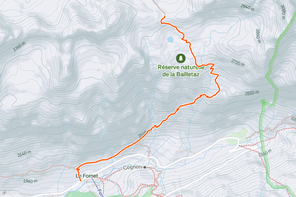
Col de la Bailletta from le Fornet
This excellent hike allows you to visit the National Nature Reserve of Baillettaz. With a little luck and a keen sense of observation, the hiker will have the opportunity to approach (but not disturb) the king of the mountains, the Alpine Ibex!
From the Fornet cable car departure station, go back down the RD 902 for about 150m....
6


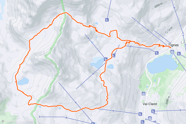
Tour of the Pointe du Chardonnet
This easy loop route around the Pointe du Chardonnet is easily-accessed from the Tignes resort. This route takes place over two different faces of the mountain—one which is natural, and the other which is equipped with amenities....
7


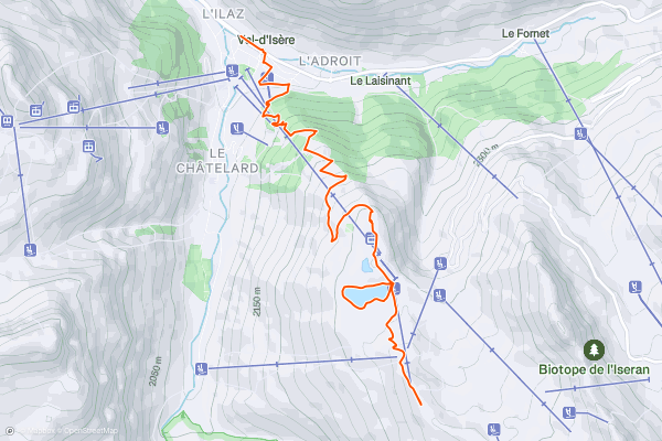
Col de la Madeleine and Lac d'Ouillette
This out and back route runs straight from street level of the Val d'Isere resort to the remote, barren Col de la Madeleine via the hidden gem of Lac d'Ouillette.
Start at the Office du Tourisme and weave through the streets until you reach the open area around the lifts....
8


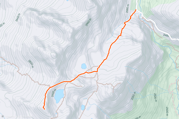
Pointe des Fours from le Pont de la Neige
This route provides a short, accessible summit hike to the rugged heights of Pointe des Fours from le Pont de la Neige close to the Col l'Iseran pass. The route offers the chance to get into high barren, alpine territory with all its rugged, unspoilt landscape relatively quickly from the start point....
9


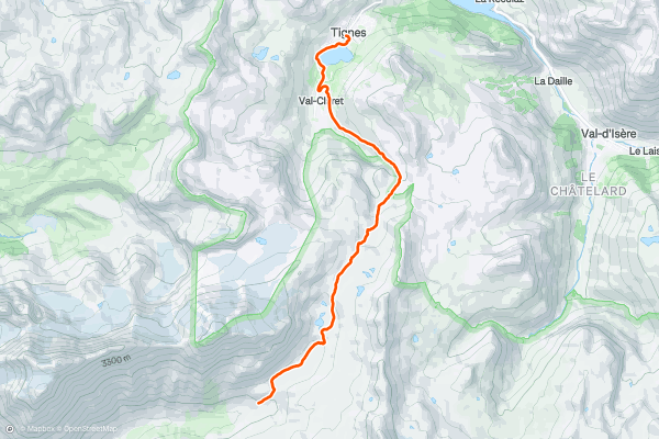
Via Alpina: Tignes Lake to Leisse Refuge
This is one of the stages of the mammoth, trans-national Via Alpina route. It can be undertaken as an out-and-back route on its own, added to another route for a longer itinerary, or completed as part of the Via Alpina network in either direction....
10


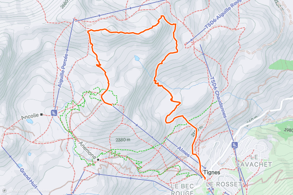
L'Aiguille Percée
The French Alps are famed for offering a spectacular landscape in a mountainous environment—a truly magical and stunning place to hike. This hike takes you to one of the best geological curiosities in Vanoise National Park: the "eye of the needle....
11


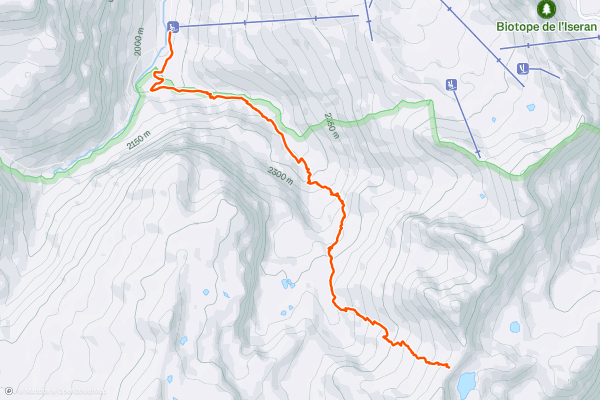
Col des Fours from Manchet
This hike is great for those who are fond of having their efforts rewarded by incredible views, and who love hiking in the mountains. Also, you’re likely to encounter alpine wildlife along this trail....
12


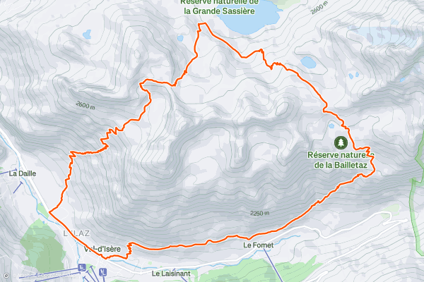
Le Fornet -> Col de la Bailletta -> Passage de Picheru
This is a stunning and strenuous round circuit through the Bailletaz Nature Reserve, passing above the glacial Lac de la Sassière.
Start at the Office du Tourisme in Val d’Isère. After leaving street level, the path goes up gradually, continuing upon a balcony above and along the valley and below the soaring, jagged ridgeline of the Corniche....
13


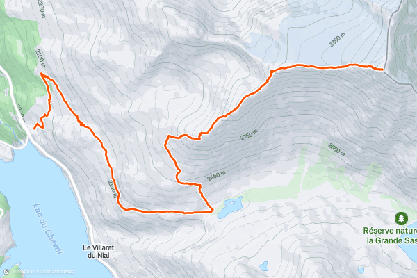
Aiguille de la Grande Sassière Summit
Aiguille de la Grande Sassière is a mountain in the Graian Alps, on the boundary between the Aosta Valley (northern Italy) and the French department of Savoie in the Tarentaise Valley....
Page 1 of 1
Principais regiões para trilhos de caminhada no Strava
- Albertville
- Alpes-Maritimes
- Alpes-de-Haute-Provence
- Annecy
- Arve Valley
- Barcelonnette
- Bernex
- Briançon
- Chambéry
- Chamonix
- Corsica
- Doubs
- Grand Massif
- Grenoble
- Haute-Corse
- Haute-Savoie
- Hautes-Alpes
- Isère
- La Clusaz & Le Grand Bornand
- La Féclaz
- Le Grand Bornand
- Les Contamines
- Les Deux Alpes and La Grave
- Megève Evasion Mont Blanc
- Passy - Plaine Joux
- Saint-Jean-de-Maurienne
- Saint-Julien-en-Genevois
- Sainte Foy
- Savoie
- Serre Chevalier
- Tignes and Val d'Isère