
Los mejores Senderos de senderismo en Wien
Explorar Senderos de senderismoLos 21 senderos de senderismo más populares en Wien
Page 1 of 2
1


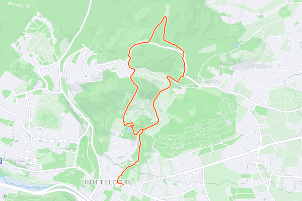
Stadtwanderweg 4 - Jubiläumswarte
The Jubiläumswarte is a lookout tower on a hilltop in the Vienna Woods. From it’s elevated vantage point, you can see over the city to the east and, on a very clear day, glimpse Mount Schneeberg far to the south....
2


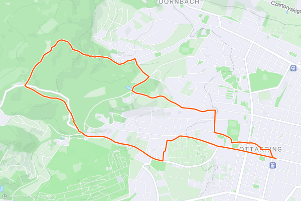
Stadtwanderweg 4a - Ottakring
Stadtwanderweg 4a is ideal for those who want city experiences like shopping and dining, along with a dose of nature on the outskirts. The route begins in the heart of Ottakring, then extends into the Wienerwald....
3


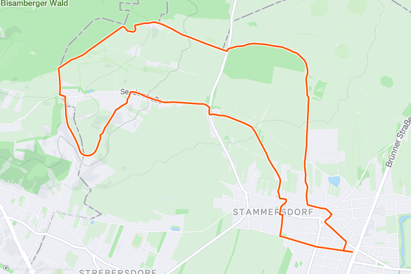
Stadtwanderweg 5 - Bisamberg
This city hiking path leads through Vienna’s top wine district. While strolling through these quintessential Austrian vineyards, you’ll forget completely that you are still within city limits. The small towns on this side of the river have a unique rural character, and cozy taverns called _heurige_ serve seasonal wine from grapes grown in view of the downtown skyline....
4


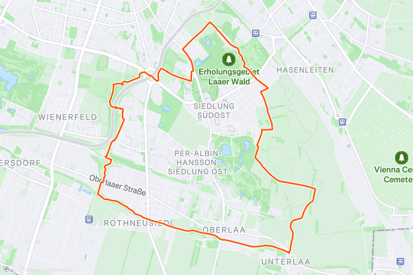
Stadtwanderweg 7 - Laaer Berg
Beginning from the metro station Altes Landgut, this city hiking path soon reaches the edge of Laaer Wald recreation area. It is possible to shortcut through the forest on trails instead of following the city route along Urselbrunnengasse....
5


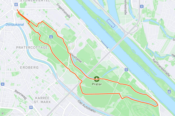
Stadtwanderweg 9 - Prater
This city hiking path explores The Prater, Vienna’s huge public park in Leopoldstadt. The path begins along the Hauptallee and near the amusement park, but soon finds peace and quiet in the “Green Prater,” which is the larger and more natural portion of the park....
6
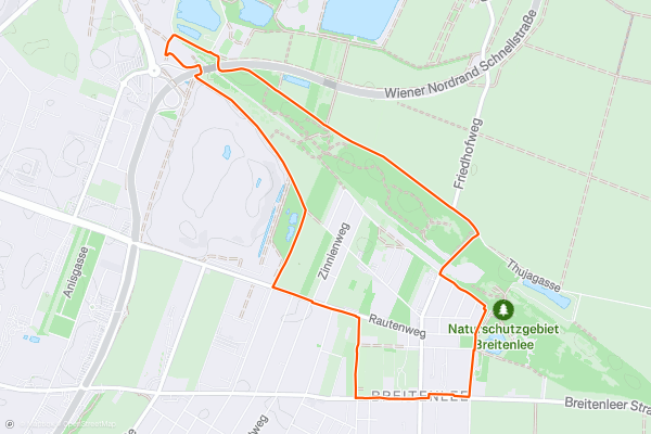
Stadtwanderweg 10
Stadtwanderweg 10 is the newest of Vienna’s city hiking paths, and also the shortest. It tours an interesting blend of nature and development on the outskirts of Donaustadt, on the quieter side of the Danube....
7


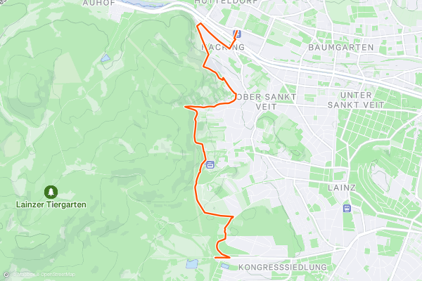
Rundumadum: Stage 6 - Route 2
The main route of Rundumadum Stage 6 is through Lainzer Tiergarten between Nikolaitor and Lainzer Tor, but that way is off limits to dogs and may be closed in winter. Thus, Route 2 provides an alternative....
8


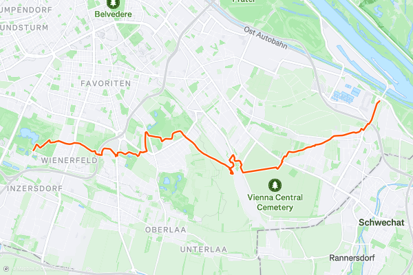
Rundumadum: Stages 10, 11, and 12
From its starting point at Tesarekplatz, Stage 10 goes immediately into the Wienerberg, a historic recreation area with forests, fields, and a lake. Over the treetops you can see the “Vienna Twin Tower” and hills of the Wienerwald on the horizon....
9


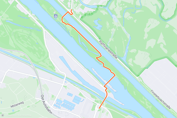
Rundumadum: Stage 13
This stage of the Rundumadum bridges the Danube to connect Simmering, Leopoldstadt, and Donaustadt districts while combining samples of industry, nature, sports, culture, and cuisine–and all this in less than 4....
10


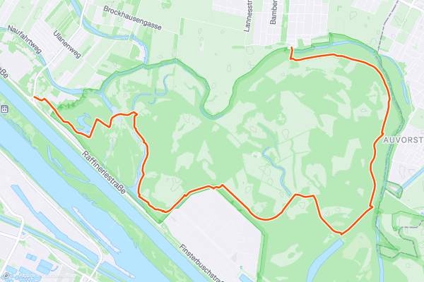
Rundumadum: Stages 14, 15, and 16
Stages 14-16 of the Rundumadum go through Vienna’s national park, Donau-Auen. The landscape is an abandoned floodplain of the Danube, cut off from water supply by channelization projects in the late 19th century....
11


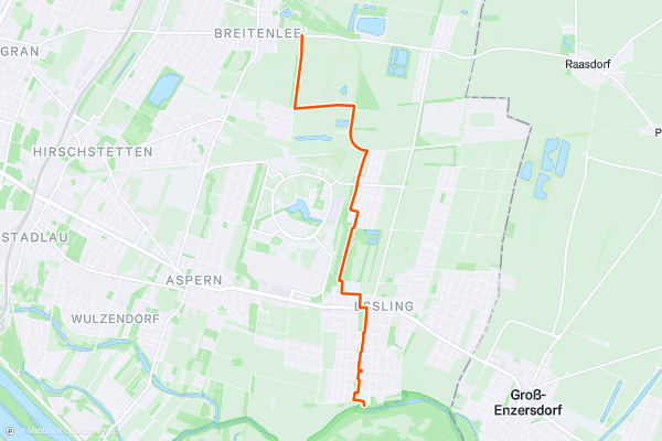
Rundumadum: Stages 17 and 18
Stage 17 begins at the border with Donau-Auen national park, and though its still on the Danube floodplain, the landscape looks very different here. Like most of the river’s former plain, this area has been developed for housing and agriculture....
12


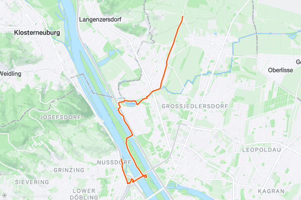
Rundumadum: Stages 23 and 24
Stage 23 begins at Steinernes Kreuz, among several small _heurige_ (wine taverns). You’ll find even more of them along Stammersdorfer Kellergasse, which is a short detour from the Rundumadum route on Krottenhofgasse....
13


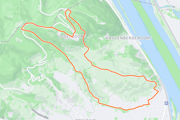
Stadtwanderweg 1 - Kahlenberg
A good starting point for city hiking trail 1 is the Nussdorf terminus of Tram D. From there, you’ll follow a tree-lined path to Beethovenpark and a statue of the composer....
14


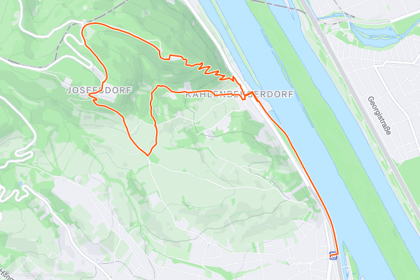
Stadtwanderweg 1a - Leopoldsberg
This is one of the most varied and scenic of Vienna’s city hiking paths, featuring views along the Danube, vistas atop two hills outside the city, and a mix of forest and fields in the countryside....
15


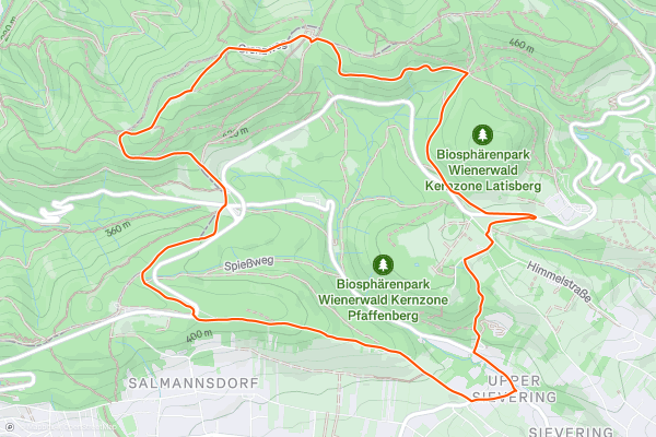
Stadtwanderweg 2 - Hermannskogel
This city hiking trail begins at Sievering, the terminus of Bus 39A. Start by walking along Agnesgasse, then turn soon onto a smaller road that follows the crest of a hill, through an idyllic setting....
16


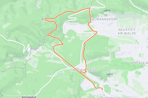
Stadtwanderweg 3 - Hameau
This hiking trail finds tranquility in the Vienna Woods just beyond the edge of the city. Ride Tram 43 to Neuwaldegg, and a brisk walk from there will have you surrounded by greenery in no time....
17


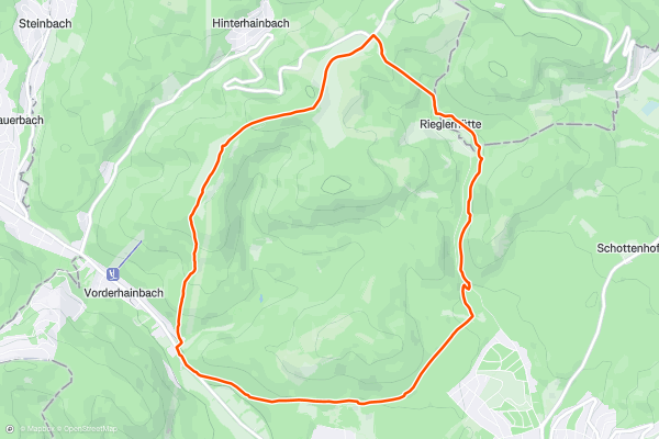
Stadtwanderweg 8 - Sophienalpe
Stadtwanderweg 8 begins from the Postbus 450 Kasgraben station. It is some distance away from the city center, and while on the bus you’ll feel like you’re already in the countryside....
18


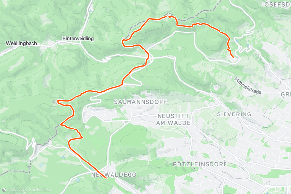
Rundumadum: Stages 2 and 3
Stage 2 of the Rundumadum begins from Cobenzl winery and children’s farm, overlooking Vienna’s skyline. From there, a dirt path leads uphill through young forest and some hillside clearings to Gasthaus zum Agnesbründl, which also has a small farm and a playground....
19


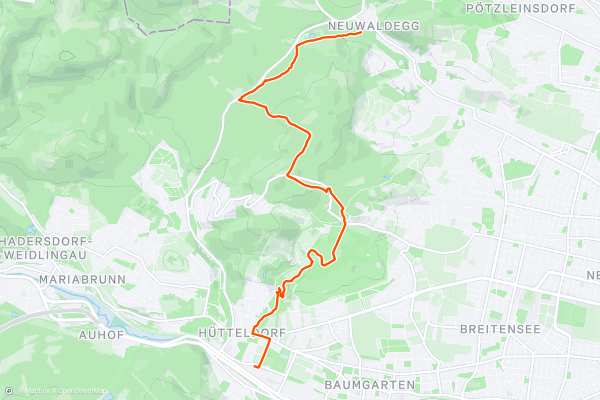
Rundumadum: Stages 4 and 5
From Marswiese, the path goes into the woods and comes soon to the Hanslteich, which is a small lake overlooked by a gourmet restaurant. From there, it continues gradually uphill and reaches the Schottenhof equestrian center, where there is also a restaurant....
20


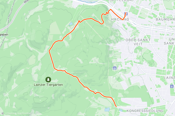
Rundumadum: Stage 6 - Route 1
From Hütteldorf train station, it’s a short walk to the Lainzer Tiergarten’s Nikolaitor entrance, where there’s a natural spring drinking fountain. Inside the Tiergarten you’ll find a patchwork of hilly forest and meadows, with sublime views and a good chance at spotting wildlife like deer and boar....
Page 1 of 2
Las regiones más populares para senderos de senderismo en Strava
- Axamer Lizum
- Dachstein Salzkammergut
- Elferlifte Neustift im Stubaital
- Gargellen
- Innsbruck
- Kaprun
- Kitzbühel
- Mayrhofen
- Niederösterreich
- Oberösterreich
- Patscherkofel
- Rangger Köpfl
- Saalbach Hinterglemm and Saalfelden Leogang
- Salzburg
- Schlick 2000
- Seefeld - Rosshütte
- Ski Juwel Alpbachtal Wildschönau
- Spieljoch – Fügen
- Stubaier Gletscher
- Tirol
- Vorarlberg
- Wien
- Wildkogel Arena
- Zillertal Arena
- Ötztal