
Las mejores Rutas de esquí de montaña en Salt Lake City, UT
Explorar Rutas de esquí de montañaHead for adventure in the Wastach Mountains
Salt lake city is one of the best cities in the world for those who love hiking. The city sits just alongside the Wasatch Mountains, so the best hiking trails are not far away. We used data from millions of hikes to determine the best hikes in Salt Lake City Utah. Here is what we’ve found.
If you’re looking for the most popular hiking trail in Salt Lake city, The Living Room trail is it. At the top of this peak, you’ll find rocks arranged in a sofa style where you can sit and take in tremendous views of the city and lake below. For a less challenging and family friendly hike, try Ensign Peak.
The best hiking trails in Salt Lake City Utah are all close to the city, so grab some grippy shoes and get out there.
Las 133 rutas de esquí de montaña más populares en Salt Lake City, UT
Page 1 of 7
1


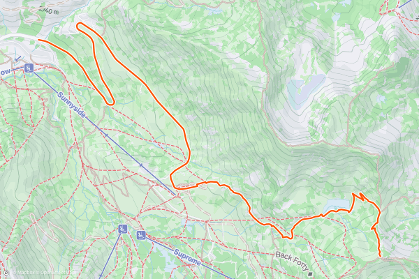
Alta Summer Road
Alta does not typically allow uphill access during the operating season, but the exception is Summer Road, which is outside the main resort area. It can be used to ski some inbounds terrain that's hard to reach by lifts, and also to reach popular backcountry zones....
2


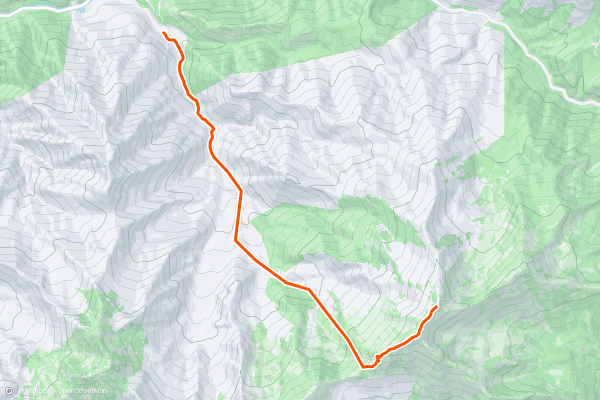
Davis Gulch Approach
Park at the Porter Fork trailhead in upper Millcreek Canyon. Head through the gate and up the road through the cabins and enter the trail in the Olympus Wilderness. Follow the trail through the switchbacks and then in the meadow....
3

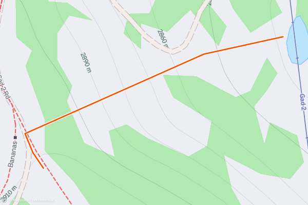
Bananas Bowl
A pretty mellow bowl with some great powder skiing. Look for the snowgun on the right side of the Bananas flats and enter near here for the longest run. There are tight trees at the top that you have to make your way through, but it soon opens up into the bowl....
4


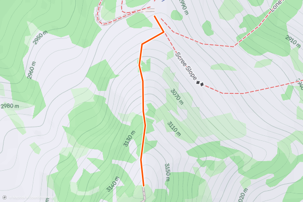
Elevator / Milly Gut Bootpack
Head straight out the gate and begin the boot pack up the ridge. If the boot pack is already set, it will take about 20-30 minutes to reach the peak. If you have to put the boot pack in, it will take much longer....
5


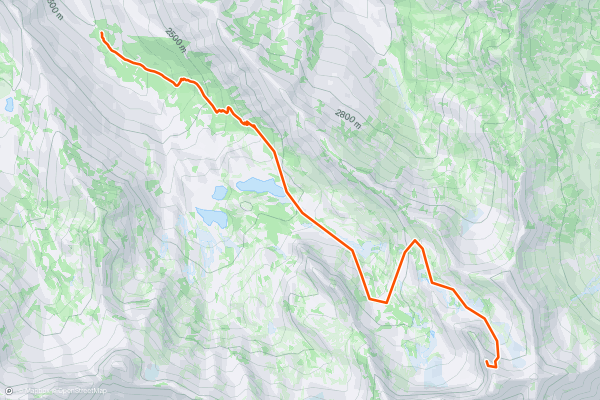
Heart of Darkness Approach
Park at the S curves 4.2 miles up Big Cottonwood Canyon on the S side of the road. From here follow the creek to the E then follow the summer trail into Mill B S drainage....
6


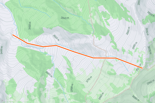
Davis Gulch
The Davis Gulch is a Wasatch classic with a wide, open slope at a consistent pitch in the upper thirty degree range. To access, park at the Porter Fork trailhead in upper Millcreek Canyon....
7


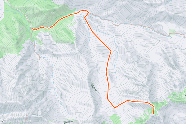
Whipple Approach
To access the Whipple Couloir, park at the Neff's Canyon trailhead in Mount Olympus Cove. From here follow the road grade up into the canyon, stay left at the first branch, and you'll be heading E on a well travelled trail....
8


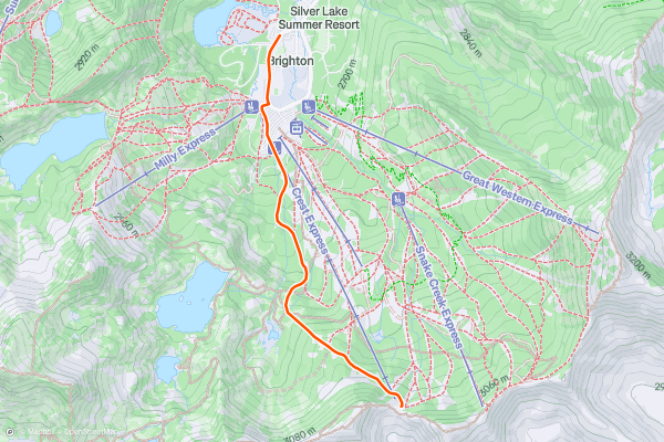
Brighton Uphill Access
This is the main uphill route at Brighton resort, and it's typically open during operating hours. This allows all-day access to inbounds runs as well as backcountry terrain. Skin up this route to ski from the Crest Express lift, or to exit the resort through the backcountry gate....
9


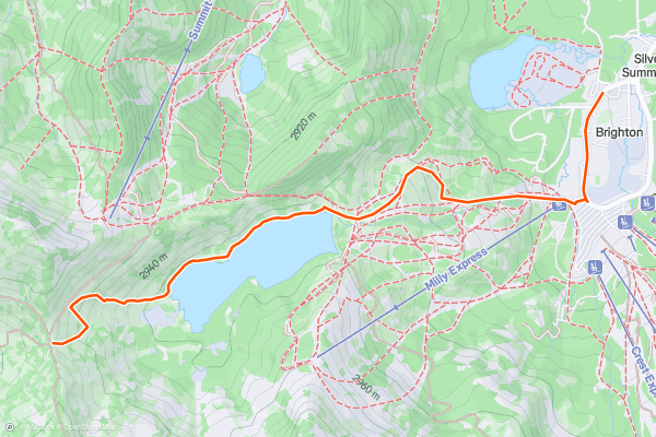
Twin Lakes Pass from Brighton
Twin Lakes Pass divides two valleys with backcountry skiing between Alta and Brighton/Solitude. Most people get there from the Alta side, but if you're starting from Brighton this is the way you can go....
10


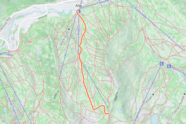
Alta Collins Uphill
Alta does not allow inbounds uphill travel during the operating season, but access is normally allowed in early and late season. During those times the resort is not patrolled, however, and should be treated as backcountry terrain....
11


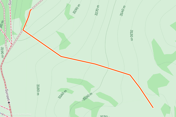
Dry Fork
From the top of Supreme lift and to the South, you will find short but nice backcountry runs with some pitch and trees. To get back to the resort, look for the obvious skin track....
12


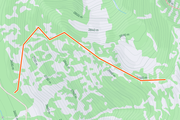
Scotty's Approach
To access this run park at the White Pine trailhead and head across the bridge to the trail. The trail cuts right across the base of the run so you can look up it and scope your exit....
13


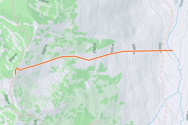
Argenta - E Couloir
Park at the Argenta pull-out on the S side, 7.1 miles up Big Cottonwood Canyon road. Cross the creek and skin up the huge Argenta slide path trending to the right....
14


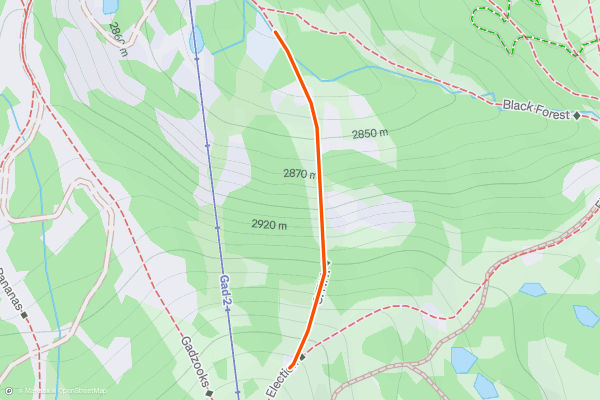
Broom Stick
A tight steep slot through the trees skiers right of the Gad 2 lift. It's pretty easy to find if you stay just skiers right in the trees the terrain will naturally funnel you into the small "chute....
15


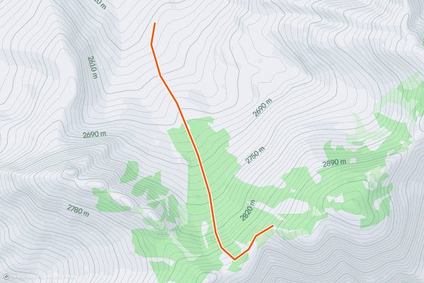
Major Tom Approach
To access the Major Tom couloir, park at the Neff's Canyon trailhead in Olympus Cove. Follow the old road grade up into the canyon and take the left branch to head up into the main drainage of Neff's....
16


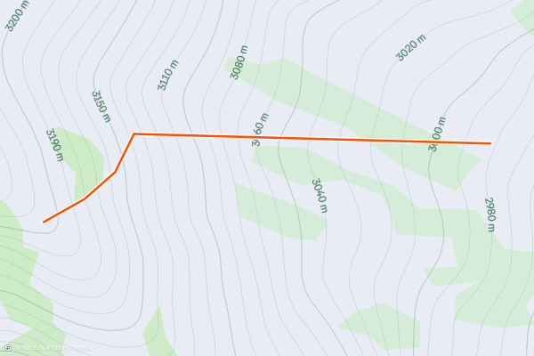
Pinball Alley
Pinball Alley is tricky to get to. Park at Our Lady Of The Snow church 7 miles up the canyon. See separately described Mount Superior Approach. From here follow the pole line up to Cardiff Pass....
17


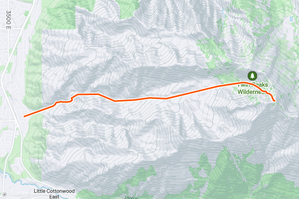
Twin Peaks - NW Couloir
The NW Couloir off Twin Peaks is a real fun classic. It didn't make it into the "Chuting Gallery" book which may have kept it a "secret" for a time, but by now the word it out....
18


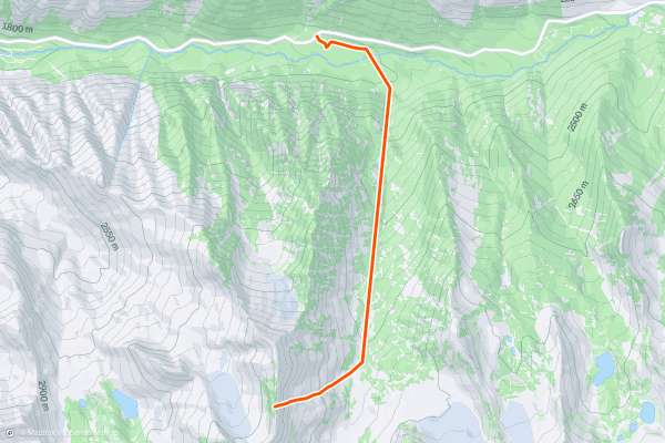
The Sliver
From White Pine trailhead follow the road then trail to Red Pine Canyon, cross the bridge and skin up into Maybird Drainage, head up and over the Maybird/Hogum Divide. From here ski down to the base of The Sliver, and boot up The Sliver....
19


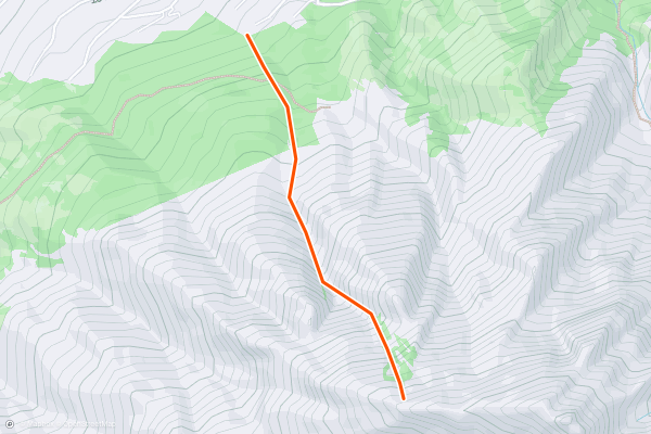
Zeus Chute
This is one of the best lines in the Wasatch! The scenery, terrain and location line up to make it a must ski if you're into adventure backcountry. Approach from Wasatch Blvd....
20


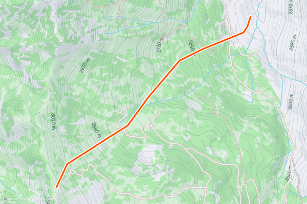
Georges
Georges is one of the classic powder bowls in the Wasatch Backcountry. It can be accessed by parking at the Cardiff Fork (Mill D South) trailhead and following the old mining road south up into the enormous basin....
Page 1 of 7
Las regiones más populares para rutas de esquí de montaña en Strava
- Alaska
- Arizona
- Bend
- Big Sky
- California
- Colorado
- Crystal Mountain
- Denali
- Echo Mountain
- Eldora
- Flagstaff
- Grand Targhee
- Grand Teton National Park
- Hyalite
- Idaho
- Jackson Hole
- Killington
- Lake Tahoe
- Loveland
- Mammoth Mountain
- Montana
- Mount Rainier National Park
- New Mexico
- North Bridgers
- North Madisons
- Oregon
- Park City and Deer Valley
- Powder Mountain
- Salt Lake City, UT
- Snowbasin
- South Bridgers
- Stowe
- Sugarbush
- Sun Valley
- Taos
- Telluride
- Teton Pass
- Timberline Lodge Summer
- Utah
- Vermont
- Washington
- Winter Park
- Wyoming
- Yellowstone National Park