
Californiaで一番のバックカントリースキーのルート
バックカントリースキーのルートを探索Californiaにおける上位94件のバックカントリースキーのルート
Page 1 of 5
1
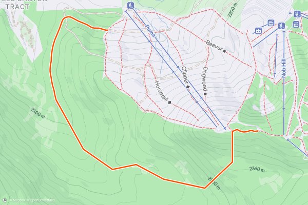
West of West
First up, bear in mind if taking this route that you are crossing a ski area boundary, which can get you into trouble in the USA. as with all tree runs, ride as a group, wear a helmet and have a plan....
2
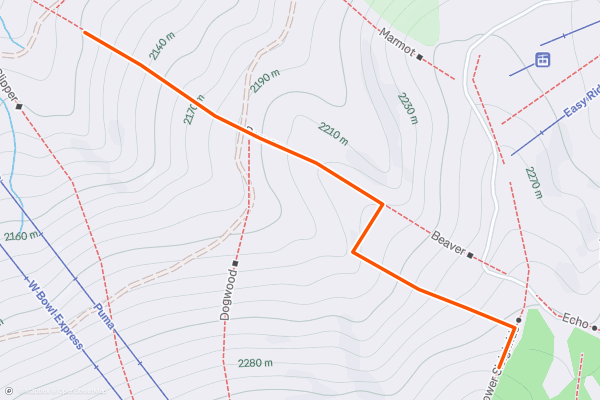
Beaver Trees
The trees to skiers left on Beaver are great on the top section, but don't go much further than 50 feet from the trail as you'll come to a natural gully with bushes that just collapses when you ride over it, making you get stuck! Just after Dogwood joins, there's some excellent trees with the same proviso; a natural gully stops it being practical to going further than 50 feet to skiers left....
3

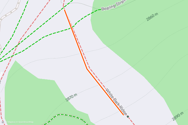
Kong
Ski down White Bark Ridge. Kong is the final wind lip in a series of fun ones that runs out onto Road Runner. This is a super fun straight jump that is a sweet ender to the fun wind lips lining White Bark Ridge....
4
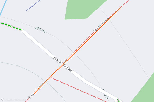
James Bond
Ski through the top of South Park and keep to the left of the run. As you near the top of Chair 20 ski around the off loading ramp, cliff is right below....
5


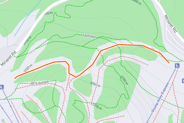
Jill's Uphill Route
One of Mammoth’s new uphill routes, Jill’s is short and sweet. It’s a brief up-and-over between Main Lodge and The Mill, using the trails Jill’s Run and Mambo. Lap it back and forth to get used to new gear, or to dial in those transitions....
6

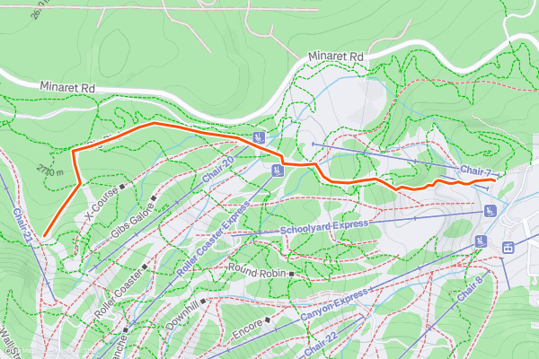
Big Bird Uphill Route
Big Bird is an easy uphill route that links with the tougher uphill Lost in the Woods. Therefore you can use Big Bird as a return to Lost in the Woods if you've skied down from there....
7


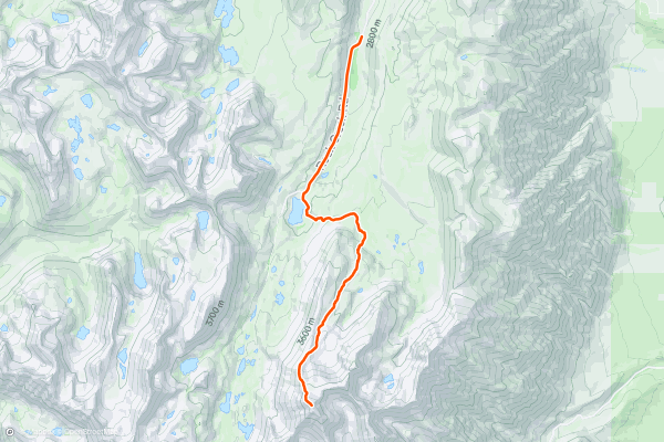
Mount Morgan (South) North Ridge
One of the many epic backcountry descents in the Sierra Nevada is the north- facing headwall couloirs coming off Mount Morgan South. At 13,748 feet, it’s a steady climb up there, but worth the trek, because the couloirs are known for holding that cherished champagne powder....
8

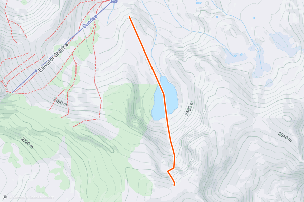
Sally Alley
From Mellisa Coray Peak, take the natural fall line in the north facing U-shaped bowl. There are a few cornices and minor cliffs on either side for the more adventurous. Fallow the area all the way to Emigrant Lake....
9


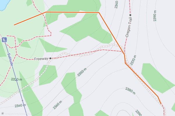
Juniper Hollow
Juniper Hollow is off Solitude Chair. Take Freeway down until it makes a hard left and is heading back to the chair in a western direction. Traverse right from here a very short distance and then turn left and ski to the base of Solitude....
10


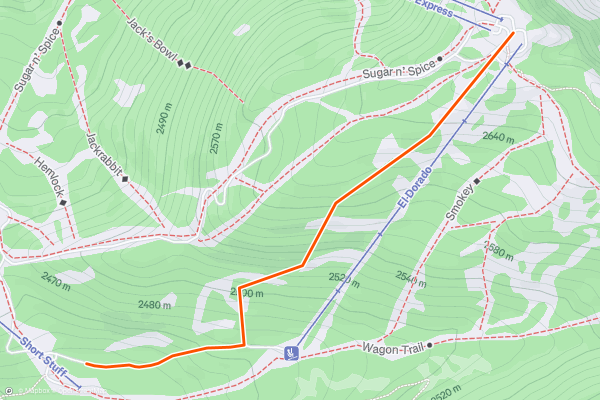
Dragons Teeth
Take El Dorado chairline, and cut skiers right to check out the multiple routes available around some awesome tooth like rocks. There are all sorts of obstacles along the way, ranging from small to large, so make sure to scope your landings....
11


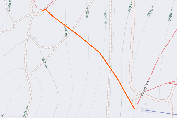
Emigrant Bowl
Emigrant Bowl is a nice wide, south-east facing slope. It sits underneath Emigrant peak and is not too busy as you have to traverse into it. It has a nice, short medium steep pitch and is pretty wide open....
12


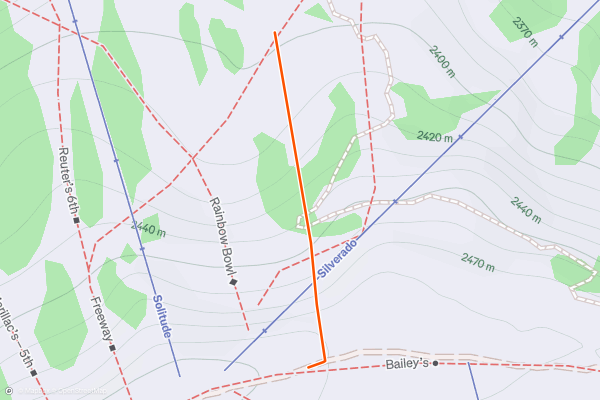
Boundary Bowl
A fun run at the former ski area boundary, this line is usually not too busy and is a nice option on powder days. From the top of Silverado or Solitude follow the ridge line alongside the Silverado chair line....
13
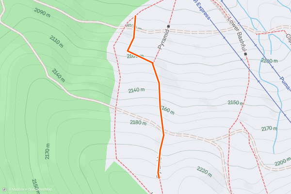
Pyramid trees
The trees around Pyramid are great fun, providing you stay safe; ride in pairs at least, with a helmet and a plan. Look out for tree stumps and undergrowth in early season; a foot of powder can obscure a lot....
14
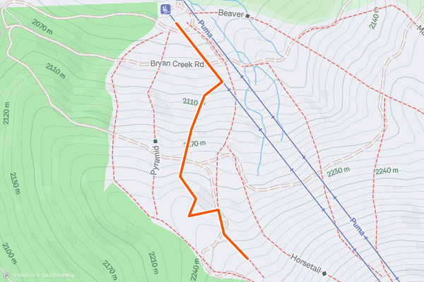
Bashful trees
There are multiple line choices in here; best explored by going progressively further each run. The main things to be aware of are early season snow, where obstacles can be obscured....
15
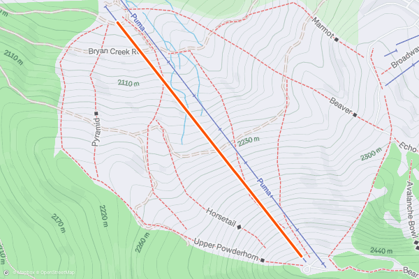
West Bowl Express Chairline
Pretty straight forward really; take clipper to the cut out to skiers left under chairline. In early season, there can be a stump you can jib right at the start, followed by a little rock to pop off, and then some medium ones (one of which has a log balanced on it you can jump off)....
16
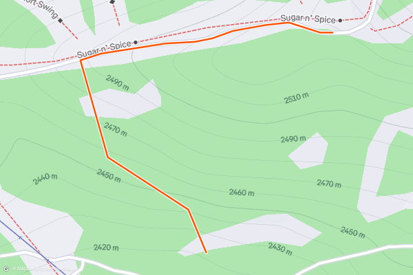
Sparkle Trees
Exit the wall of terror at any point, taking skiers left down towards the main trail. Don't go too far left, however as the trail is flat and you will end up walking....
17

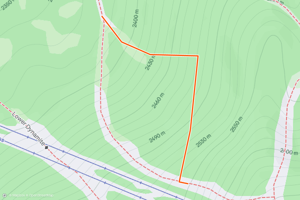
Christmas Tree Valley
To get to Christmas tree valley, you need to cut in through some denser trees on the outskirts of this tree run before you emerge into a fairly open valley of smaller Christmas trees....
18


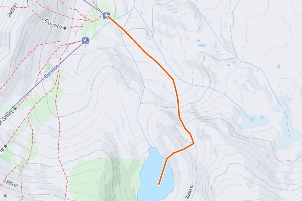
Stovepipe
Due north of Emigrant Lake. A wide medium sloped couloir will appear with big cliffs and trees on either side. Bottom of the line is about even with the bottom of Chair 3....
19


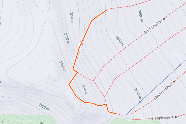
99 Steps
If you are after a few powder turns the 'day after' the storm, follow the bootpack beyond the patrol shack above Chair 4. Follow the bootpack to the top ridge and then descend back down into the bowl above the backside runs....
20


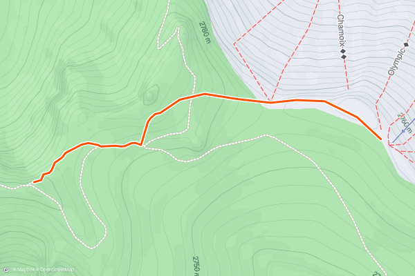
Thunder Mountain and Glove Rock approach
The access route for the lines around Thunder Mountain and Glove Rock, this line can be booted or skinned. If you choose to boot it, a good idea is to gain a little height en route to Glove Rock and then use this height to ski fast across the next section of the approach to Thunder Mountain, thereby leaving you with a relatively short final climb....
Page 1 of 5
Stravaにおけるバックカントリースキーのルートの人気地域
- Alaska
- Arizona
- Bend
- Big Sky
- California
- Colorado
- Crystal Mountain
- Denali
- Echo Mountain
- Eldora
- Flagstaff
- Grand Targhee
- Grand Teton National Park
- Hyalite
- Idaho
- Jackson Hole
- Killington
- Lake Tahoe
- Loveland
- Mammoth Mountain
- Montana
- Mount Rainier National Park
- New Mexico
- North Bridgers
- North Madisons
- Oregon
- Park City and Deer Valley
- Powder Mountain
- Salt Lake City, UT
- Snowbasin
- South Bridgers
- Stowe
- Sugarbush
- Sun Valley
- Taos
- Telluride
- Teton Pass
- Timberline Lodge Summer
- Utah
- Vermont
- Washington
- Winter Park
- Wyoming
- Yellowstone National Park