
Les meilleurs Itinéraires de ski de randonnée à Sainte Foy
Explorer les Itinéraires de ski de randonnéeSainte Foy is one of the Tarentaise Valley's hidden gems. Located close to Tignes and Val d'Isere and it offers excellent freeride terrain.
10 meilleurs itinéraires de ski de randonnée à Sainte Foy
Page 1 of 1
1


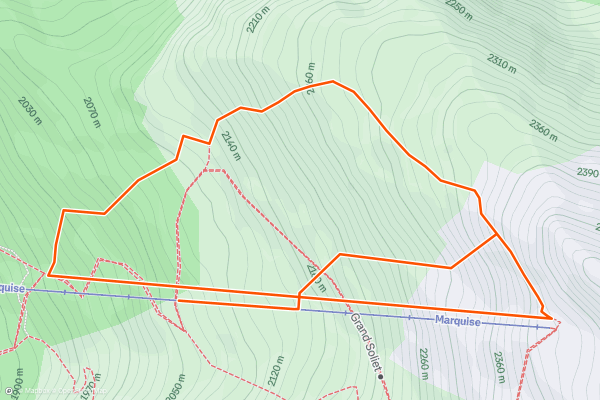
Marquise
Turning left off the Marquise chair gives access to the wide open expanse of gentle terrain on the eastern edge of the main basin. Alternatively directly under the chair is a buffet of snowy bowls, rocks and gullies, through what looks like (and is nicknamed) The Elephant's Graveyard....
2


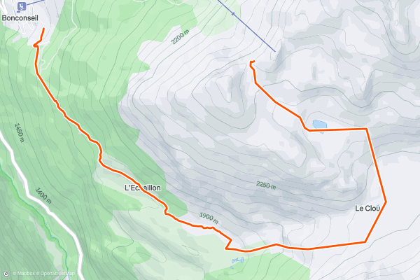
Le Monal via Le Clou
From the top of the Aiguille chair, continue straight into the wide open south-facing bowl. Because of the southern aspect, the snow transforms well in the spring. On the gentle ride down, skiers pass a small alpine lake, and a small hamlet called Le Clou....
3
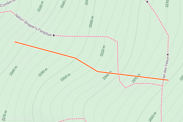
Shapers' Paradise
So-named as it's a particular favourite zone of backcountry freestyle skiers and snowboarders, Shapers' Paradise is the easiest of Sainte Foy's Natur'ide secured but unpisted runs.
As with Morion and Crystal Dark, the ski patrol mark the route with poles....
4


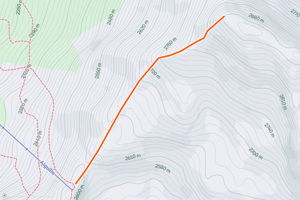
Ascent of the Foglietta
From the top of the Aiguille chair, hike or skin 45 minutes up the ridge to your left to the highest point of the Foglietta. There aren't any technical sections so it's a straight up bootpack!
Make sure you stay away from any cornices on the left, and be aware of the avalanche conditions on the slope to your right....
5

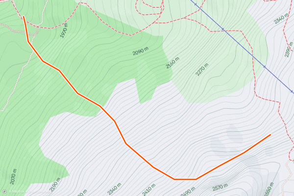
Far Crystal
Approach the same way as Crystal Dark, just keep going! Be aware that, unlike Crystal Dark, this is unsecured off-piste, so you must be responsible for your decision-making out here. A climbing traverse can take you above a couple of rock outcrops to give you a longer top section....
6


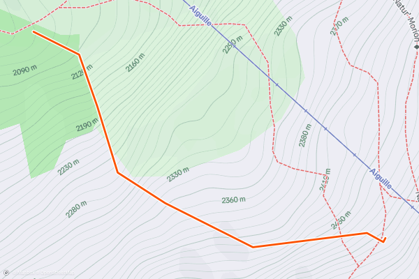
Crystal Dark
It is often said that Sainte Foy feels more like British Columbia than the French Alps thanks to its rolling, varied terrain and widely-spaced trees. Crystal Dark is a prime example and a real treat....
7


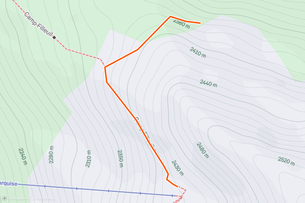
Col du Granier
Wide-open alpine slopes up top into rolling terrain a few tress and marshmallow-looking pillows, giving way to steeper and tighter trees at the end before a quick rat-run down a path back to the road; Col du Granier is a pretty neat microcosm of the Sainte Foy experience....
8


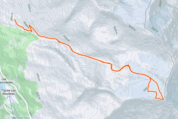
Grande Sassière via Glacier de la Sassière
Start from Nant Cruet or as far up as they have cleared the road, then hike to the snow line or skin directly from your car if possible. Follow ‘Le Nant Cruet’ summer path up the valley to the foot of the Glacier du Font and head for the little notch between the Fond & Sassière glaciers....
9


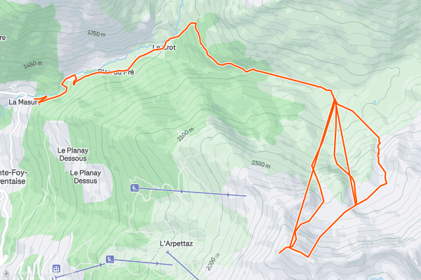
Foglietta North Face
From the top of the Aiguille chair, hike or skin 45 minutes up the ridge to your left to the highest point. The huge north face reveals itself only once you reach the top....
10


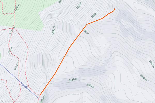
Foglietta West Face
Hike for 30 minutes up towards the summit of Foglietta to reach a large cross from where you can enjoy a great view over Sainte Foy and the Tarentaise valley. This is the starting point to the west face of Foglietta....
Page 1 of 1
Meilleures régions pour les itinéraires de ski de randonnée sur Strava
- 3 Valleys
- Aiguilles
- Albertville
- Alpe d'Huez
- Alpes-Maritimes
- Alpes-de-Haute-Provence
- Annecy
- Arve Valley
- Balme (Le Tour)
- Barcelonnette
- Bonneval-sur-Arc
- Briançon
- Chamonix
- Courchevel
- Grand Massif
- Haute-Savoie
- Hautes-Alpes
- Isola
- Isère
- La Clusaz & Le Grand Bornand
- La Plagne
- Les Arcs
- Les Contamines
- Les Deux Alpes and La Grave
- Les Grands Montets
- Les Menuires
- Megeve - Les Contamines
- Meribel
- Molines-en-Queyras/Saint-Véran
- Montgenevre
- Orelle
- Passy - Plaine Joux
- Pralognan-la-Vanoise
- Puy-Saint-Vincent
- Saint-Gervais-les-Bains
- Saint-Jean-de-Maurienne
- Sainte Foy
- Savoie
- Serre Chevalier
- Tignes and Val d'Isère
- Val Cenis Vanoise
- Val Thorens