
Les meilleurs Itinéraires de ski de randonnée à Saint-Jean-de-Maurienne
Explorer les Itinéraires de ski de randonnée10 meilleurs itinéraires de ski de randonnée à Saint-Jean-de-Maurienne
Page 1 of 1
1


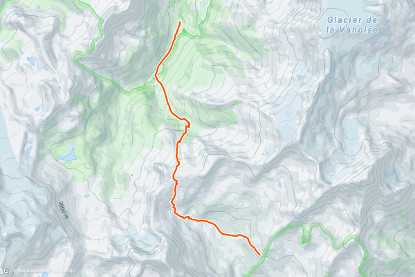
Refuge de la Dent Parrachée via Col d'Aussois
This key passage in the Vanoise circuit takes you deeper into the National Park. Although not glaciated, reasonable visibility is desirable for the traverse. Due to its southerly aspect the descent is ideal for skiing spring snow so good timing is necessary....
2


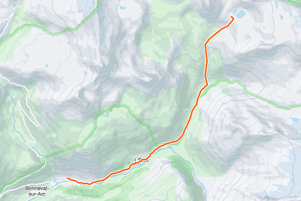
Bonneval to the Carro Hut
Bonneval is a pretty village and in the winter feels very remote, as it lies at the end of the valley. It has a few ski lifts that access high N facing terrain, so you can always have a warm up day on these to get the ski legs going the day before....
3


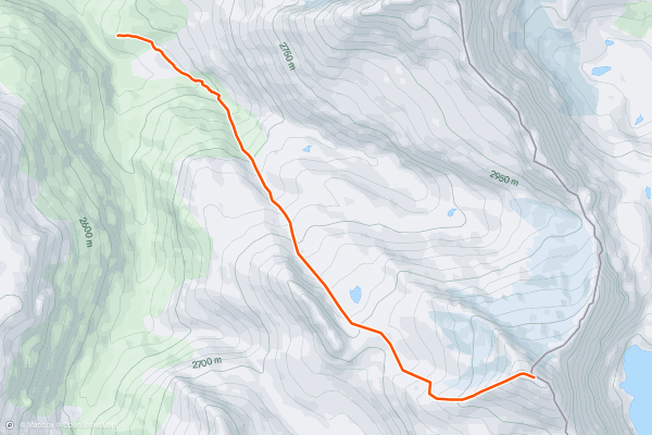
Day tour up the Ouille d'Arbéron
Had this peak been in a more popular part of the Alps it would be a lot busier than it is, enjoying as it does stunning views from the summit of Italy to the S and E, and France to the N and W....
4


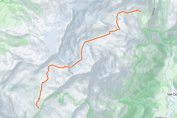
Refuge de l'Arpont via the Col du Moine
A fantastic journey where it's possible you'll see few other ski tourers, unlike other popular hut to hut ski tours in the Alps. There is a choice between the Col du Moine and the Col de Labby and it is a good idea to chat to the Guardian as to which is in better condition....
5


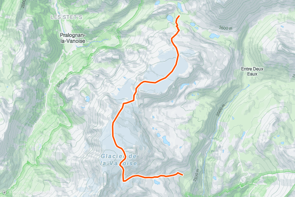
Refuge du Col de la Vanoise via the Col de Chasseforêt.
This is a day to enjoy the amazing glaciated terrain high up in the Vanoise. As with the day before, retreat would be complex and challenging in the event of poor weather, and again a stable snowpack is needed for the traverse....
6


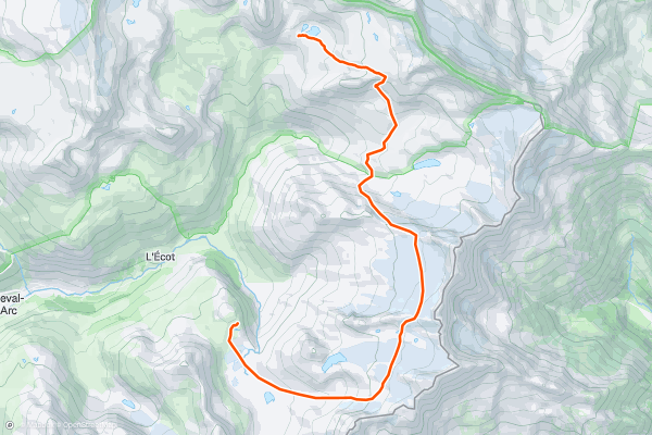
Carro Hut to Evettes Hut
This is a memorable day with multiple ascents and descents. In anything other than perfect weather it can be a significant navigational challenge, and is exposed to any bad weather, with long traverses at altitude....
7


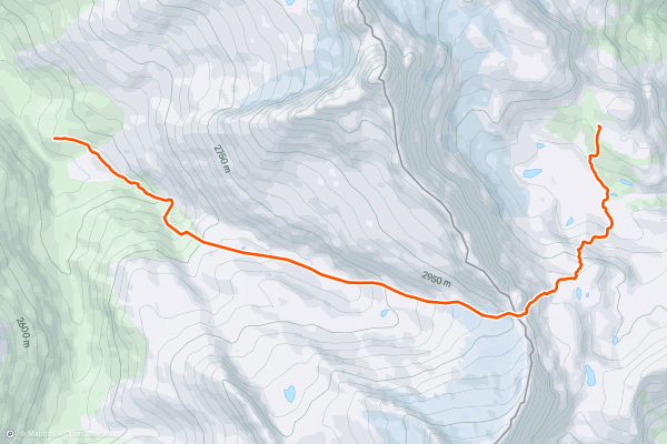
Gastaldi Hut to Avérole Hut
FATMAP would have been a very useful resource for this day, when I did it. The Italian map is very poor and hard to navigate with, so it was more by luck than good judgement that I managed to locate this col in the mist, having waited till midday for the mist to clear....
8


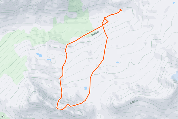
Pointes de Pierre Brune
Start skinning up the northerly facing slopes that head towards the Col de la Pierre Brune from Refuge de la Leisse, which never becomes too strenuous and is a great way to warm up the legs before things start to steepen out a little more on the North East face of the Pierre Brune....
9


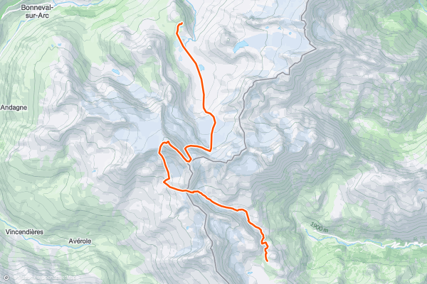
Evettes Hut to Gastaldi Hut via the Albaron
The traverse of the Albaron is a ski mountaineering classic day out to a high summit, using a full range of skills. This alone will satisfy most people, with a long descent to the Avérole Hut....
10


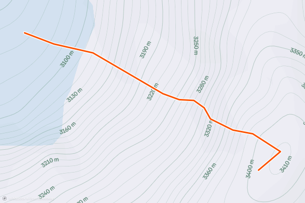
Pointe de la Sana, NW Face Direct
“You skied that?!” - A frequent reply from friends when looking at this route from the Grande Motte Télécabine station after you inform them that you’ve just descended the face ahead of them....
Page 1 of 1
Meilleures régions pour les itinéraires de ski de randonnée sur Strava
- 3 Valleys
- Aiguilles
- Albertville
- Alpe d'Huez
- Alpes-Maritimes
- Alpes-de-Haute-Provence
- Annecy
- Arve Valley
- Balme (Le Tour)
- Barcelonnette
- Bonneval-sur-Arc
- Briançon
- Chamonix
- Courchevel
- Grand Massif
- Haute-Savoie
- Hautes-Alpes
- Isola
- Isère
- La Clusaz & Le Grand Bornand
- La Plagne
- Les Arcs
- Les Contamines
- Les Deux Alpes and La Grave
- Les Grands Montets
- Les Menuires
- Megeve - Les Contamines
- Meribel
- Molines-en-Queyras/Saint-Véran
- Montgenevre
- Orelle
- Passy - Plaine Joux
- Pralognan-la-Vanoise
- Puy-Saint-Vincent
- Saint-Gervais-les-Bains
- Saint-Jean-de-Maurienne
- Sainte Foy
- Savoie
- Serre Chevalier
- Tignes and Val d'Isère
- Val Cenis Vanoise
- Val Thorens