


+ 1
Black Ridge Trail
健行小徑
適中
6.7 英里
844 呎
A beautiful backcountry trail with plenty of solitude.
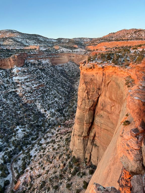
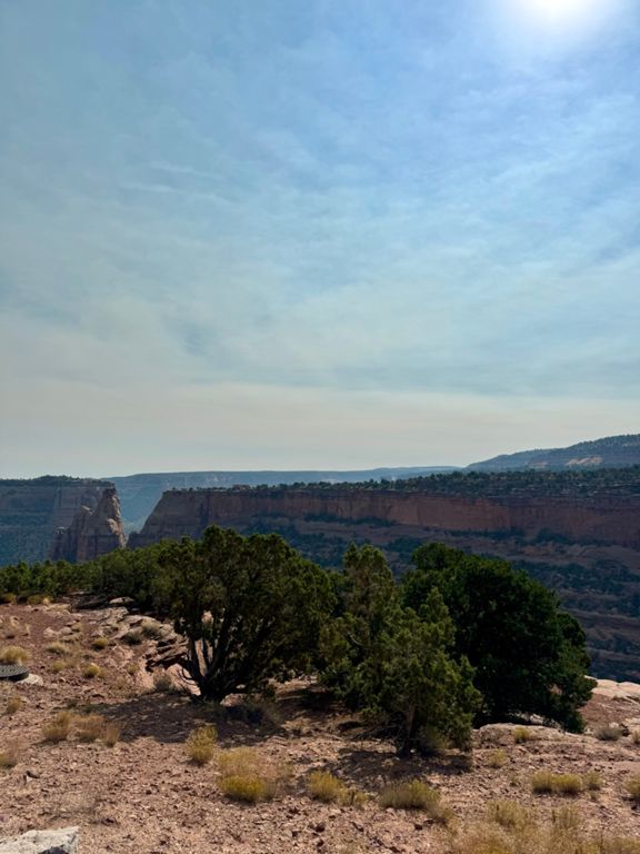
Colorado National Monument is an absolutely gorgeous place that very few hikers know about. It is Colorado's version of the Grand Canyon... without all the people!
For a true backcountry excursion, set out on the Black Ridge Trail for an overview of the Monument's magnitude. This trail is the highest elevation trail in the Monument; as such, it provides jaw-dropping views in nearly every direction.
The trail is 5.5 miles long and can be accessed from both ends. That allows for out-and-back hikes of any desired distance or a one-way hike of the entire distance with a shuttle.
The easiest option, close to Fruita, Colorado, is to start from the Visitor Center for an out-and-back. Despite starting at the busiest place in the park, this trail sees very few hikers, so expect to be mostly on your own.
Starting at 5,790', the route steadily ascends to 6,730' at the high point, with minor ups and downs along Black Ridge. Along the way, expansive views of Fruita and the Grand Valley are quite stunning.
Starting at the north end, much of the first half of the route is actually located outside of the National Monument as it passes through McGinnis Canyons National Conservation Area, which is Bureau of Land Management land. This is BIG country that will make you feel like you're hiking in a movie set for a spaghetti western.
If planning to hike the entire 5.5-mile trail as an out-and-back, be sure to be prepared for a long day out! 11 miles in the backcountry requires being prepared for whatever Mother Nature chooses to throw your way, so have the 10 essentials in your pack. This is a harsh desert environment, so plenty of water is necessary.
The north trailhead for the Black Ridge Trail is most easily accessed via the East Entrance from Fruita. The trail starts across the road from the Saddlehorn Visitor Center. Written by Scott Anderson
建立者:
Strava Routes
