我們使用必要的 Cookie 以使網站正常運行。我們也設定了額外的 Cookie,以幫助我們改善你的體驗、確保你的安全、執行分析並提供相關廣告。只有在你點擊下方的「接受」時,我們才會設定這些額外的 Cookie。有關我們使用的 Cookie 的更多資訊,或要變更你的偏好設定,請參考我們的
Cookie 政策。
我接受
拒絕
活動
最常做的運動
跑步
騎車
步行
健行
跑步
騎車
功能
地圖
挑戰
訂閱版
登入
免費加入
註冊
首頁
活動
跑步
騎車
步行
健行
功能
地圖
挑戰
訂閱版
支援
註冊
登入
取得應用程式
過去 2 週
+ 124
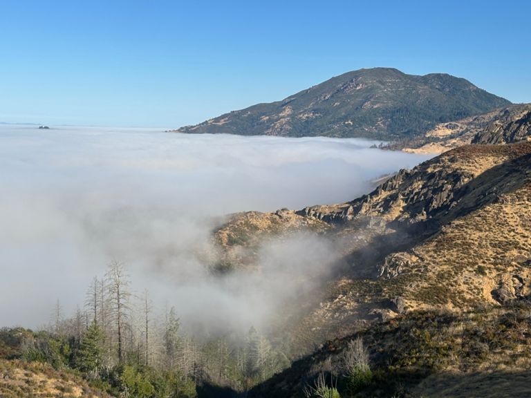
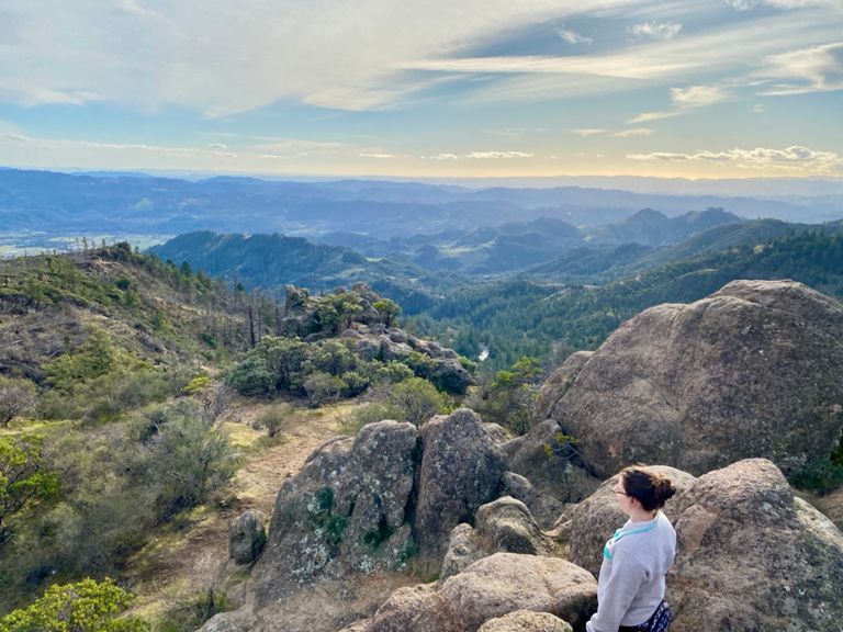
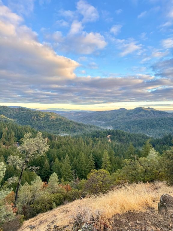
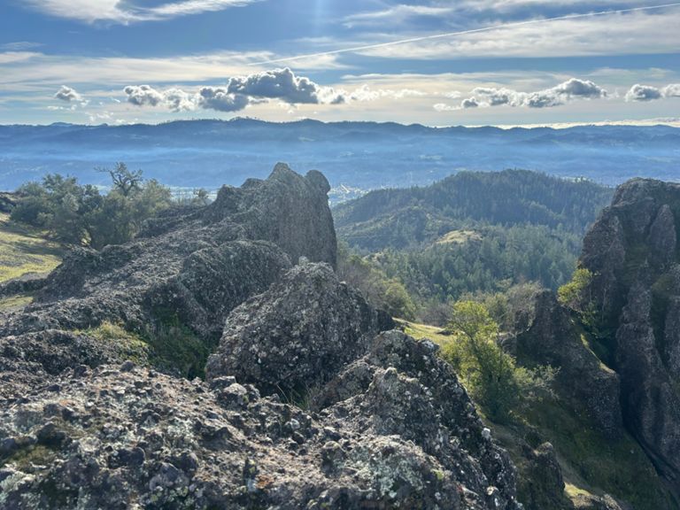
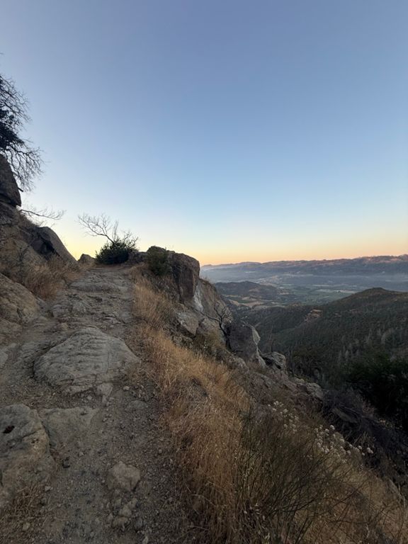
Napa Valley 50k
跑步路線
儲存
分享
內嵌
複製 URL
匯出 TCX
匯出 GPX
列印
困難
31.16 英里
7,612 呎
建立者:
Adam Ray
2023年4月7日
·
公開
路線和海拔
5 mi
1,000 呎
2,000 呎
3,000 呎
4,000 呎
5.0 英里
10.0 英里
15.0 英里
20.0 英里
25.0 英里
30.0 英里
路段
名稱
距離
海拔差異
平均坡度
Oat Hill Mine Rd Climb
4.31 英里
1,926 呎
8.5%
Oat Hill Mine Climb: base tree to trail sign
2.26 英里
951 呎
7.9%
Trail to the top
14.52 英里
3,944 呎
5.1%
to the saddle (3.25mile)
3.25 英里
1,371 呎
8.0%
Oat Hill first mile
0.99 英里
466 呎
8.9%
Oat Hill Mine Full Whack
3.08 英里
1,329 呎
8.2%
Running Wildcat hill
0.40 英里
174 呎
8.2%
wildcat
0.35 英里
154 呎
6.8%
Bench to Big Rock
0.52 英里
249 呎
9.0%
Oat Hill Mine Rd Climb
0.78 英里
348 呎
8.4%
Palisades Rd Climb
0.95 英里
446 呎
8.8%
Steep Climb to Big Rock
0.64 英里
292 呎
8.3%
1000%hell
0.23 英里
121 呎
9.8%
Oat Hill Mine Road Climb
0.77 英里
322 呎
7.9%
Oat Hill Mine Rd Climb
0.39 英里
157 呎
7.5%
Palisades Trail Heading North to Table Rock
3.65 英里
768 呎
0.6%
Old Lawley Toll Road Climb
0.50 英里
226 呎
8.4%
Lake County Hwy Climb
0.80 英里
561 呎
13.2%
Mt. St. Helena - Full Summit and Descent
9.90 英里
-2,060 呎
-0.1%
Lake County Hwy Climb
1.37 英里
738 呎
10.0%
Mt St Helena from Trailhead
4.89 英里
2,011 呎
7.8%
Lake County Highway Climb
0.25 英里
194 呎
14.2%
Stevenson Trail Intersection to Summit
4.17 英里
1,650 呎
7.5%
Top of Lower Switchbacks to Vista Switchback Turn
1.78 英里
722 呎
7.7%
S State Hwy 29 Climb
2.04 英里
823 呎
7.6%
Bubble to False Summit Turn
1.92 英里
791 呎
7.8%
Lake County Highway Climb
0.43 英里
187 呎
8.2%
No pain no (elevation) gain
0.27 英里
194 呎
13.4%
Mt St Helena Decent to Hwy 29
5.01 英里
-1,998 呎
-7.5%
California 29 Climb
0.29 英里
157 呎
9.8%
Laske Point - Out
2.71 英里
-709 呎
-1.6%
Lake County Hwy Climb
0.49 英里
335 呎
12.8%
Old Lawley Toll Rd Climb
0.43 英里
299 呎
13.1%
Palisades South | Table Rock > Oat Hill
3.58 英里
-732 呎
-0.2%
Old Lawley Toll Rd Climb
0.22 英里
138 呎
11.7%
Old Lawley Toll Road Climb
0.34 英里
161 呎
8.7%
Oat Hill Mine Rd Climb
0.95 英里
584 呎
11.6%
Full Oat Hill Mine Descent
4.53 英里
-1,919 呎
-8.0%
Oat Hill Descent - Single Track Junction to Trailhead
3.57 英里
-1,572 呎
-8.3%
Wild Oats Downhill 5k
3.16 英里
-1,309 呎
-7.8%
Oat Hill descent - final mile
0.97 英里
-417 呎
-8.1%
Race To The Car!
0.97 英里
-427 呎
-8.2%