


+ 54
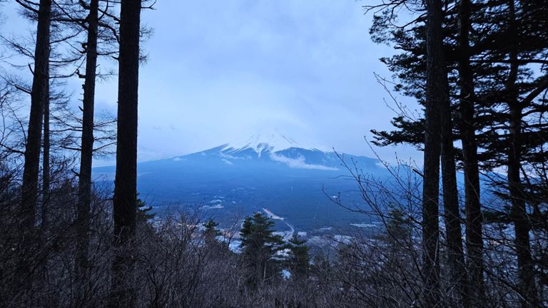
ULTRA-TRAIL Mt.FUJI2023 _KAI
Running Route
Details
66.92 km
3,854 m
*English is below
距離:68.4km
累積標高+3,064/-3,066m
【注意事項】
このコースは2023年4月22日から23日に開催される、ウルトラトレイルマウントフジ・KAIのコースです。選手の安全確保の為GPXデータを含めた情報公開をしています。
大会期間中のみ許可を取り利用しているコース及び会場を多く含みますので、試走をされる方は別に公開しています、MF試走コース_1〜4をご参照ください。
MF試走コース1
https://www.strava.com/routes/2944396810347488186
MF試走コース2
https://www.strava.com/routes/2944399641245801764
MF試走コース3
https://www.strava.com/routes/2944402972247749924
MF試走コース4
https://www.strava.com/routes/2944403968101089572
Distance: 164.7km
Accumulated elevation: +6,451/-6,493m
Notes.
This course is part of the Ultra-Trail Mount Fuji "KAI" to be held on April 22-23, 2023. For the safety of athletes, we are disclosing information including GPX data.
Please refer to the MF Trial Run Course_1~4 if you wish to try out the course, as it includes many courses and venues that are only used with permission during the event.
MF Trial Run Course 1
https://www.strava.com/routes/2944396810347488186
MF Trial Run Course 2
https://www.strava.com/routes/2944399641245801764
MF Trial Run Course 3
https://www.strava.com/routes/2944402972247749924
MF trial run course 4
https://www.strava.com/routes/2944403968101089572
Created By
Mt.FUJI 100

Route and Elevation
Segments
| Name | Distance | Elev. Diff. | Avg. Grade |
|---|---|---|---|
| メゾンドゥプラン〜鳥居地峠 | 4.74 km | 287 m | 3.3% |
| UTMF2022 U6〜U7 | 8.73 km | 342 m | 0.4% |
| 忍野村村民交流公園〜大平山 | 3.80 km | 337 m | 8.9% |
| 内野ー大平 | 3.23 km | 304 m | 9.4% |
| Segment | 0.96 km | 131 m | 13.6% |
| 大平ーゲート | 1.21 km | -62 m | -4.1% |
| Segment | 0.71 km | 112 m | 15.6% |
| パノラマ台 to 明神山 | 0.77 km | 196 m | 25.4% |
| 鉄砲木の頭〜二十曲/石割山の分岐 | 10.26 km | 403 m | 1.3% |
| Segment | 0.79 km | 117 m | 14.7% |
| Segment | 1.12 km | 210 m | 18.7% |
| 石割山 to 杓子山 - 3776D | 6.18 km | 506 m | 3.2% |
| 石割ー二十曲 | 1.20 km | -235 m | -19.5% |
| Segment | 0.51 km | 80 m | 15.6% |
| 杓子山FKT 二十曲峠~明見湖 | 11.75 km | -864 m | -3.3% |
| 二十曲〜杓子山 | 5.15 km | 469 m | 8.0% |
| Segment | 0.45 km | 78 m | 17.1% |
| 県道713号線 Climb | 1.61 km | 405 m | 25.1% |
| 杓子山〜明見湖 | 6.98 km | -841 m | -12.0% |
| UTMF2022 A9〜GOAL | 15.19 km | 634 m | 0.8% |
| UTMF公式 - 霜山バーティカル | 3.62 km | 629 m | 17.4% |
| Segment | 2.18 km | 390 m | 17.8% |
| UTMF-Shimoyama climb | 3.58 km | 634 m | 17.7% |
| UTMF 2022 The Last Climb | 3.58 km | 622 m | 17.4% |
| Segment | 1.11 km | 285 m | 25.6% |
| 霜山~おひめ坂通り | 4.40 km | -461 m | -10.5% |