


+ 182
Chantry/
跑步路線
詳細資訊
12.12 英里
4,041 呎
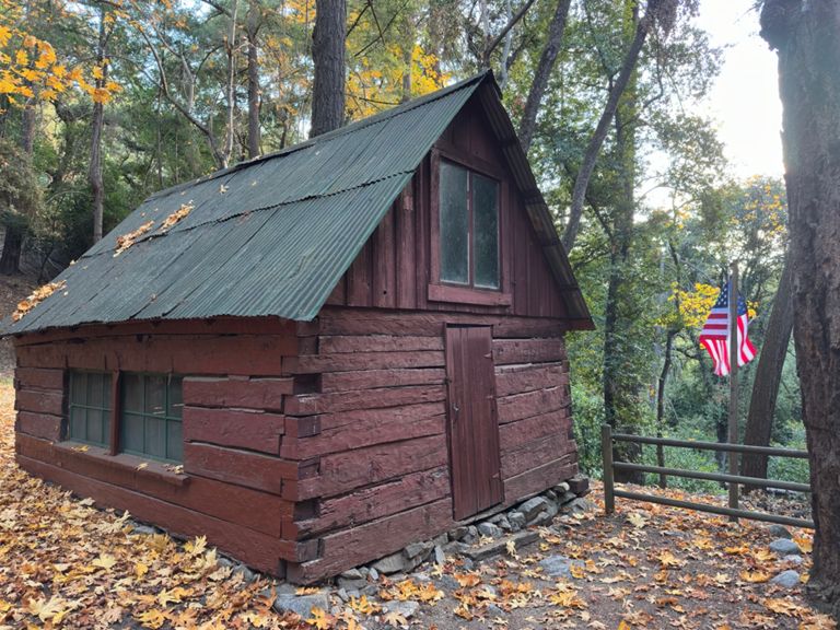
One of the best runs in the San Gabriels. Passes through chaparral-coated slopes with expansive canyon views, lush conifer forest and streamside woodland, sampling the grandeur of the Big Santa Anita watershed. We will climb from Chantry Flats up Winter Creek with 360' views to Mt. Wilson, then take the Sturtevant Trail to finish this 12 mile loop back at Chantry.
DRIVE TO THE BOTTOM OF HILL, "Santa Anita Ave/Arno Drive" by 6:00 AM. Google map link here.
(From there it's another 15-20min. drive to the parking area)
We meet to carpool at the bottom of this hill at the last residential street on your right before the yellow gate to Chantry Flats rd --the intersection of Santa Anita Avenue and Arno Drive.
From there we will carpool to the top at Chantry Flat. Parking is limited at the very busy Chantry Flats parking area and an "Adventure Pass" for the "Angeles Forest" is needed to park at Chantry Flats!
If you are driving straight to the trail head, then we will meet you there by 6:30am.
Adventure Day passes are available at the following sites.
Or online.