我們使用必要的 Cookie 以使網站正常運行。我們也設定了額外的 Cookie,以幫助我們改善你的體驗、確保你的安全、執行分析並提供相關廣告。只有在你點擊下方的「接受」時,我們才會設定這些額外的 Cookie。有關我們使用的 Cookie 的更多資訊,或要變更你的偏好設定,請參考我們的
Cookie 政策。
我接受
拒絕
活動
最常做的運動
跑步
騎車
步行
健行
跑步
騎車
功能
地圖
挑戰
訂閱版
登入
免費加入
註冊
首頁
活動
跑步
騎車
步行
健行
功能
地圖
挑戰
訂閱版
支援
註冊
登入
取得應用程式
上個月
+ 194
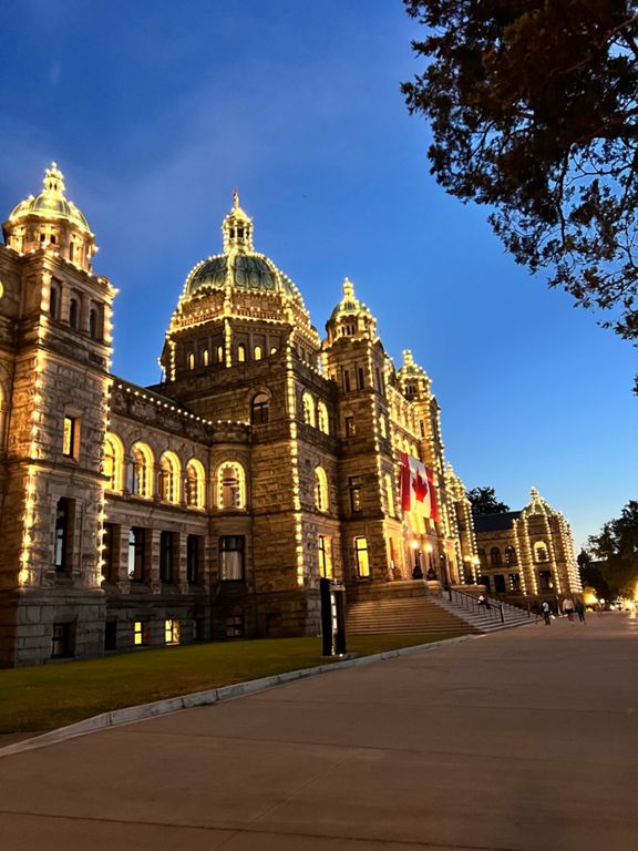
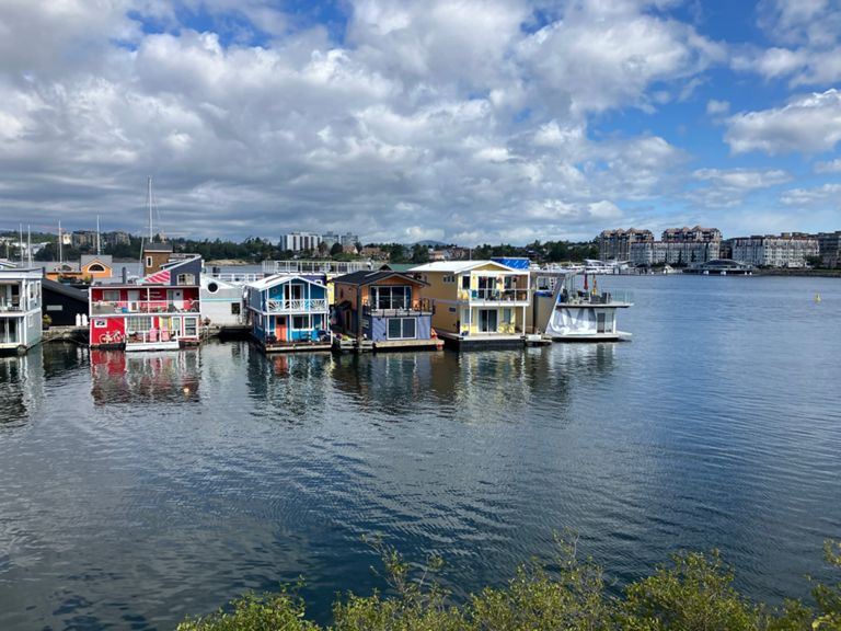
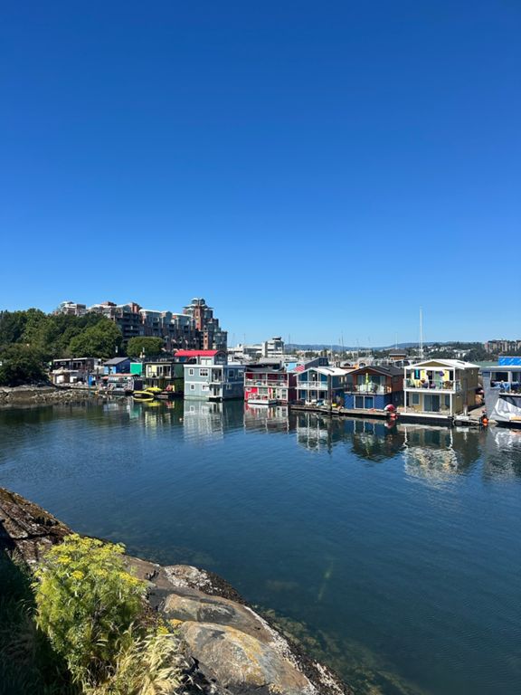
Women's 100kms Ride Route 1
自行車路線
儲存
分享
內嵌
複製 URL
匯出 TCX
匯出 GPX
列印
詳細資訊
34.43 公里
292 公尺
建立者:
glenowyn c
2018年7月14日
·
公開
路線和海拔
5 km
© Natural Earth Data
© Mapbox
© OpenStreetMap
Improve this map
20 公尺
40 公尺
60 公尺
5.0 公里
10.0 公里
15.0 公里
20.0 公里
25.0 公里
30.0 公里
路段
名稱
距離
海拔差異
平均坡度
Waterfront Full
17.42 公里
62 公尺
0.2%
Belleville to Laurel Point
0.66 公里
4 公尺
0.1%
Waterfront TT - Out
5.99 公里
22 公尺
0.1%
Dallas Rd 10km TT
9.97 公里
-35 公尺
-0.1%
Dallas punch
1.81 公里
18 公尺
0.9%
Dallas Road East
4.05 公里
-23 公尺
-0.1%
Holland Point Push!
1.16 公里
18 公尺
1.4%
Clover Point Downhill
2.57 公里
-27 公尺
-0.9%
Mile "0"Sprint To Clover Point!
1.43 公里
-10 公尺
-0.7%
Ignoring the view Eastbound
2.36 公里
3 公尺
0.1%
Safety First
1.46 公里
-18 公尺
-1.2%
Cook to Foul Bay
2.92 公里
7 公尺
0.2%
Ross Bay full gas eastbound
1.48 公里
3 公尺
0.1%
sp00ked
0.66 公里
-3 公尺
-0.0%
Foul Bay to Uplands gate
8.88 公里
30 公尺
0.2%
king gorge hill
1.17 公里
54 公尺
3.9%
King Kong
0.40 公里
18 公尺
4.5%
KGE to Newport!
2.16 公里
-31 公尺
-0.2%
King George Climb
0.47 公里
21 公尺
3.7%
Be-Fore!
1.23 公里
-8 公尺
-0.1%
monterey to orchard
2.59 公里
-16 公尺
-0.2%
Fore!
0.87 公里
9 公尺
1.0%
East Vic 10 k TT
9.74 公里
29 公尺
0.2%
Golf Course X to X
0.48 公里
2 公尺
0.1%
'round the bend
0.76 公里
2 公尺
0.3%
Easy Breazy
5.07 公里
29 公尺
0.5%
GNS-Tyndall
9.98 公里
70 公尺
0.7%
Estevan Av to Uplands Park pop!
0.29 公里
5 公尺
1.8%
Uplands Gate to Gate - North
2.62 公里
11 公尺
0.3%
Exeter to Uplands Gate
0.84 公里
25 公尺
2.9%
Gate to Village Descent
0.57 公里
14 公尺
1.9%
Cadboro Bay Road Climb
0.91 公里
81 公尺
8.9%
Bucks to Dawe
0.57 公里
-6 公尺
-0.7%
Arbutus
4.35 公里
49 公尺
0.8%
Telegraph For Gordon
2.67 公里
51 公尺
1.4%
Arbutus TT
1.45 公里
11 公尺
0.8%
QA Hill
0.46 公里
13 公尺
2.5%
Finnerty to Gordon Head- North on Arbutus
1.08 公里
49 公尺
4.2%
GHR to Ferndale Turn
0.81 公里
-22 公尺
-1.6%
Grandview Grade
1.35 公里
35 公尺
2.3%
Ferndale Flying Start Uphill Full-gas!
0.47 公里
14 公尺
2.9%
Fast and Furious
0.73 公里
-14 公尺
-1.8%
Ash to Cordova - Down and up again
1.79 公里
-40 公尺
-0.6%
Ash Hill to Cedar Hill rd
1.06 公里
-13 公尺
-0.1%
Ash Rd Launchpad
0.34 公里
-7 公尺
-2.2%
Ash to Blenkinsop
1.83 公里
24 公尺
0.3%
No Carr's Go
2.09 公里
-26 公尺
-0.7%
carolOnEmily
0.81 公里
-1 公尺
-0.1%
Draggin' up Douglas south incline
1.66 公里
15 公尺
0.4%
Douglas Kicker
0.42 公里
15 公尺
3.6%